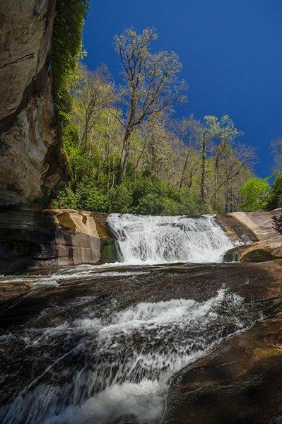
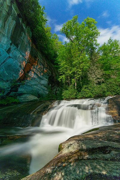
Bird Rock Falls
Cathedral Falls
!
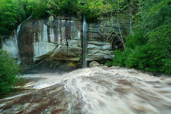
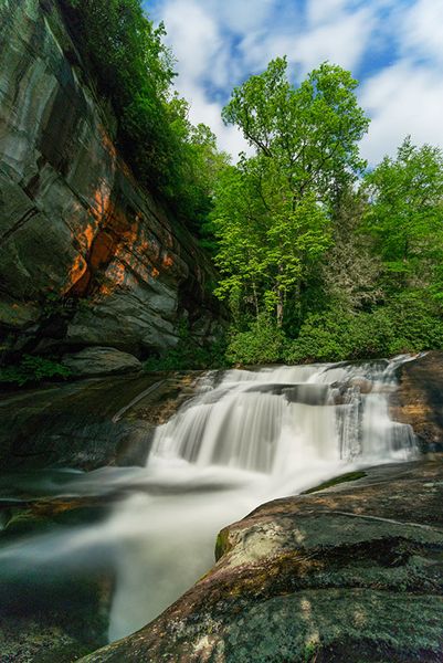
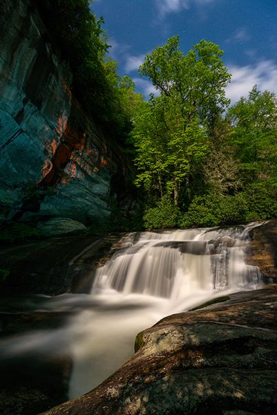
Bird Rock Falls isn’t high, but it has attributes that make it among my favorites. A massive rock bluff overhangs the river above the falls. When the water flow is up, this is an awesome, powerful scene. When it’s low, the waterfall takes on a more subtle character.
A short distance before the trail reaches the base of the falls, a side path descends to the top. As long as you stay away from the river and any wet rocks, it’s just as safe there as on the sloping rock at the base.
In wet weather, a thin ephemeral waterfall slides down the rock face, dropping directly onto Bird Rock Falls. In really wet weather, another ribbon of water falls down the lower end of the rock face.
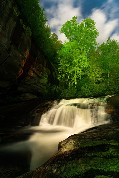
Bird Rock Falls photographed at night under moonlight. (006B-101322)
Driving Directions
Open driving directions in map appThe directions are the same as Mill Shoals and Pulpit Falls.
From Beech Gap on Blue Ridge Parkway, drive 9.25 miles south on NC 215. Park in the gravel area on the right (west) side of the road, just south of There is More Ministries at Living Waters. This is 7.8 miles north of US 64.
Hiking Directions
Quick Glance
Walk the short, obvious path down toward Mill Shoals, then take the obvious path that goes downstream.
Detailed Look
Walk toward the small red house on the south side of the ministry complex toward Mill Shoals. Before reaching the falls, you’ll come to an obvious path on the left that leads downstream. Take this path for about 0.1 miles to a rock wall above the river. Pulpit Falls is directly below the overlook. Continue on the trail to the end at Bird Rock Falls.
| Accessibility: | Hiking trail |
| County: | Transylvania |
| River Basin: | French Broad |
| Watercourse: | North Fork French Broad River |
| Watershed: | Medium/large |
| Type and Height: | Steep sliding cascade about 20 feet high Height estimated. |
| Landowner: | Private |
| Beauty Rating: | 8 |
| Elevation: | 2740 feet |
| USGS Map: | Rosman |
| Hike Difficulty: | Easy/moderate |
| Hike Distance: | 0.2 miles |
| Waterfall GPS: | 35.22112, -82.86074 |
| Trailhead GPS: | 35.2235, -82.86069 |
Photo Gallery
Click a photo to enlarge.