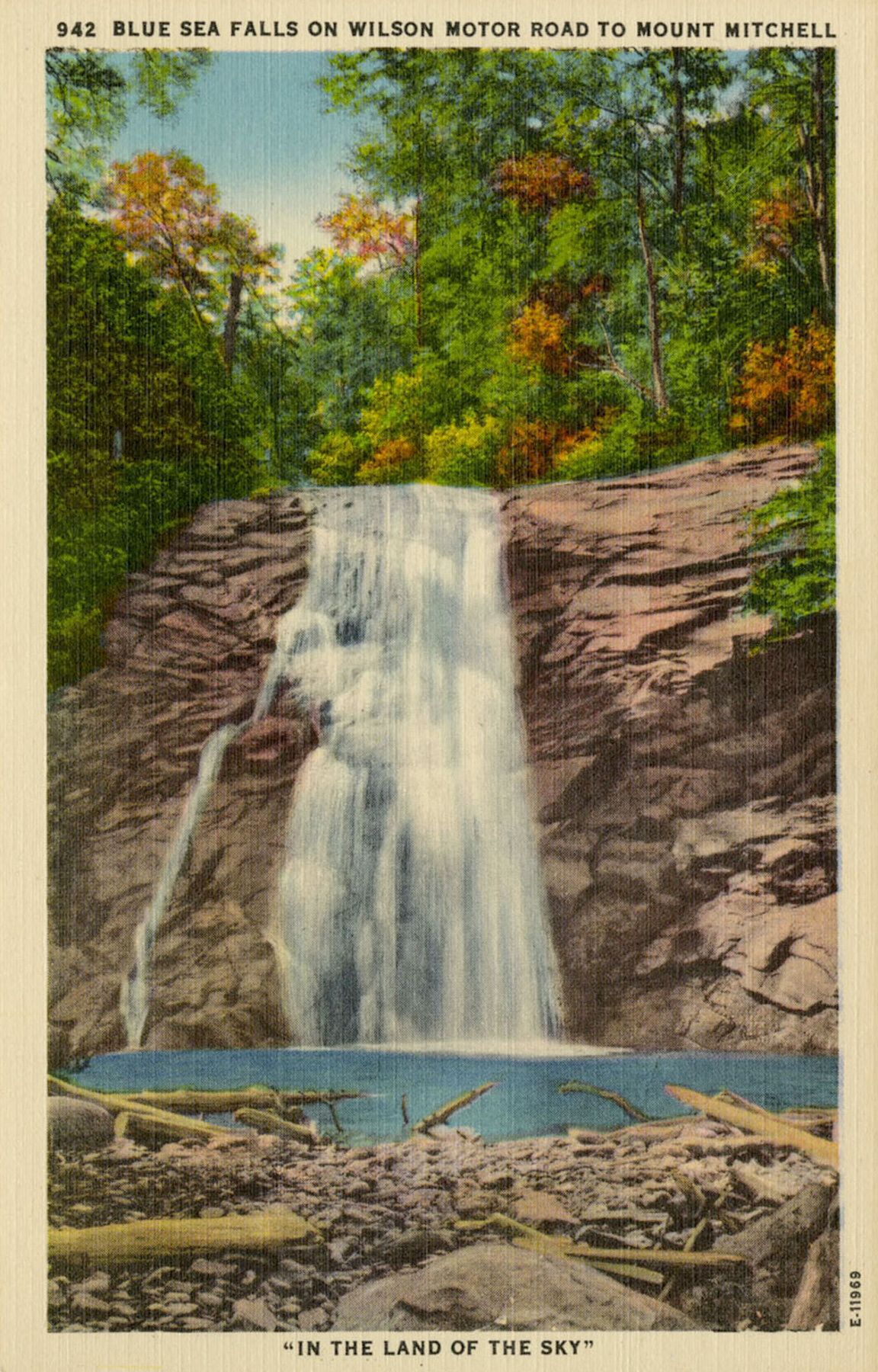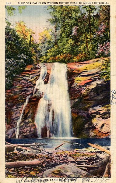
Blue Sea Falls

!
Most North Carolina waterfallers, me included, have Blue Sea Falls on their wish lists, not because it’s overly scenic—though it’s very nice—but because it’s forbidden. Everyone can see it labeled on official USGS topo maps and they can read about how the old Wilson Motor Road passed by on the way to Mount Mitchell, but no one can see it legally without obtaining permission that they’re unlikely to get. Believe me, I’ve been trying for years.
The waterfall is in one of the largest undeveloped tracts of private land in the Southern Appalachians. The property has always been safeguarded, but in 2012, the property owners assigned a conservation easement for the tract to Southern Appalachian Highlands Conservancy, assuring that Big Tom Wilson Preserve, as it is known, will forever be protected.
Although SAHC holds the conservation easement, the preserve is still privately owned. Not that it would matter from the standpoint of public visitation. The preserve is not open to the public. And if you’re a bushwhacker studying the topo map and thinking you could just slip down the mountain from Mount Mitchel State Park or Pisgah National Forest, I would caution against it. I know of at least one waterfaller who was arrested for doing just that.
Personally, while I would love to see Blue Sea Falls and certainly wouldn’t turn down an invitation, I like the idea that there are protected waterfalls (the preserve features many more notable falls, including Mitchell Falls) that we can’t see. It just adds to the allure of North Carolina’s waterfalls.
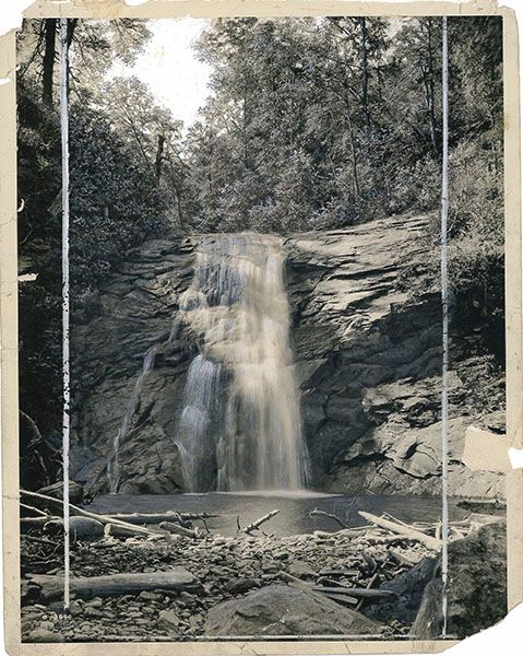
George Masa captured this photo of Blue Sea Falls in 1928. The image was used for postcards 070B-02 and 070B-03. (070B-01)
| Accessibility: | Private |
| County: | Yancey |
| River Basin: | French Broad |
| Watercourse: | Blue Sea Creek |
| Watershed: | Small |
| Type and Height: | Steep falls, 42 to 52 feet high Height estimated from LiDAR map. |
| Landowner: | Private |
| Beauty Rating: | — |
| Elevation: | 3600 feet |
| USGS Map: | Mount Mitchell |
| Hike Difficulty: | — |
| Hike Distance: | — |
| Waterfall GPS: | 35.76473, -82.31001 Estimated from USGS map. |
| Parking GPS: | — |
Historical Gallery
Click a photo to enlarge.