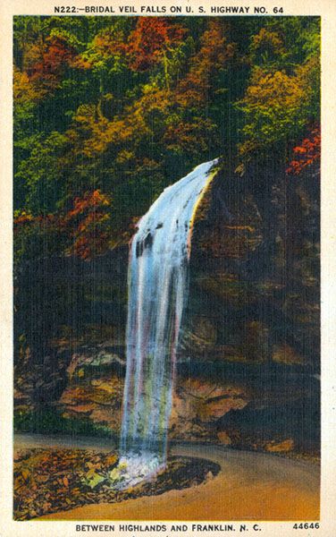
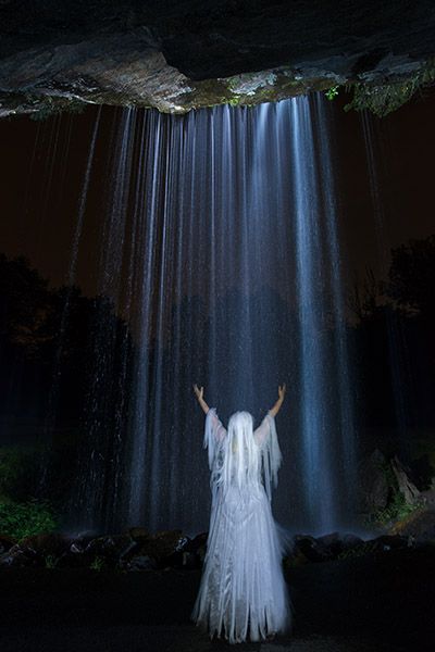
Bridal Veil Falls
!
There’s no surer way to tell that a waterfall is going to be difficult to find than for someone to say you can’t miss it. Well, friends, you can trust me with this one. If you miss Bridal Veil Falls, it’s because you ran off the road before you got there.
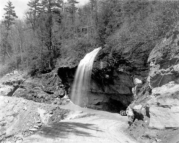
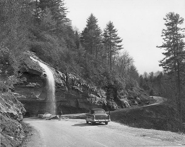
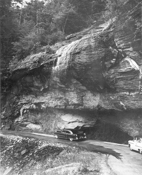
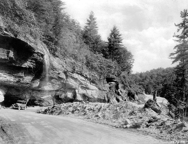
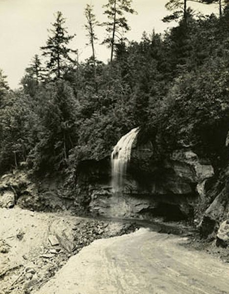
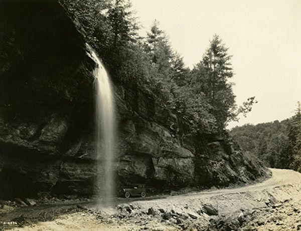
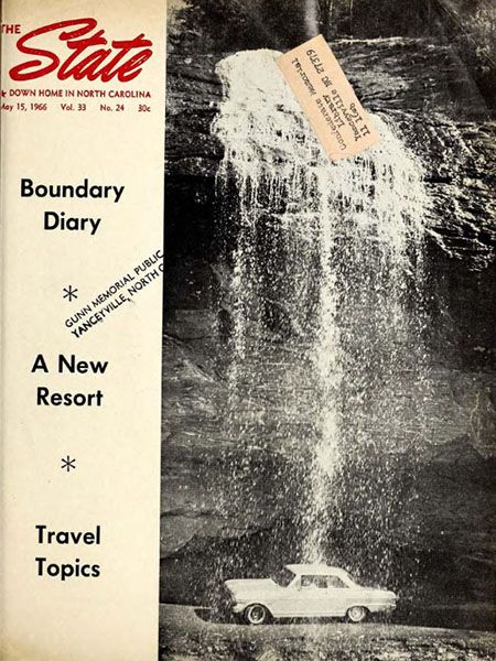
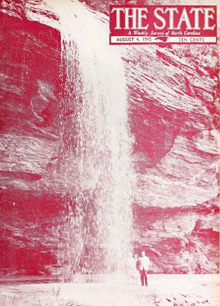
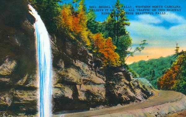
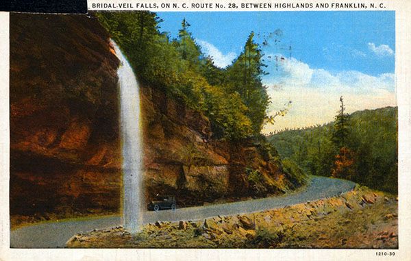
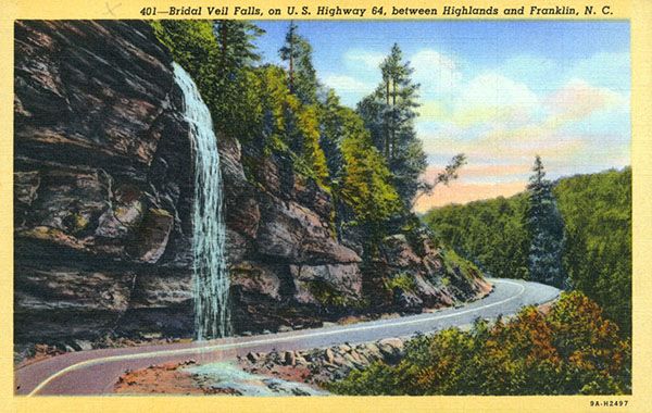
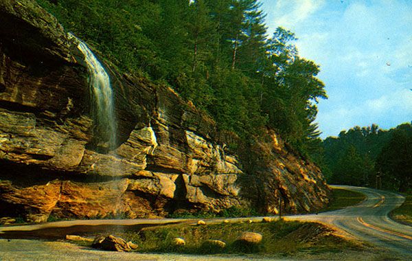
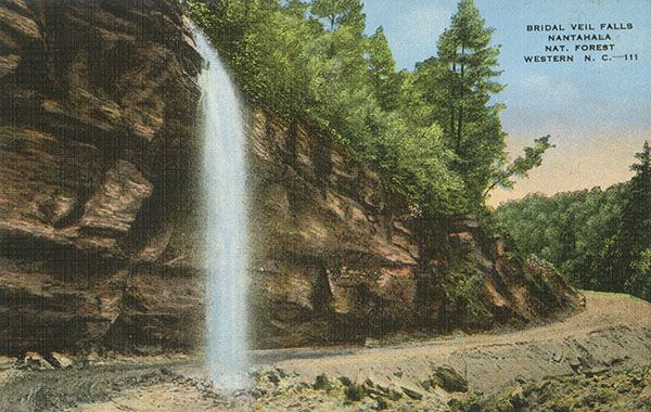
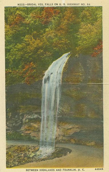
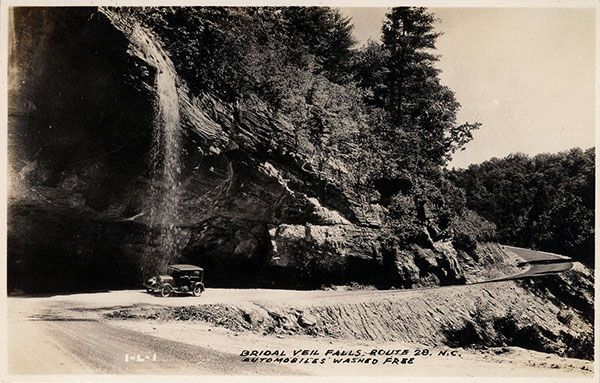
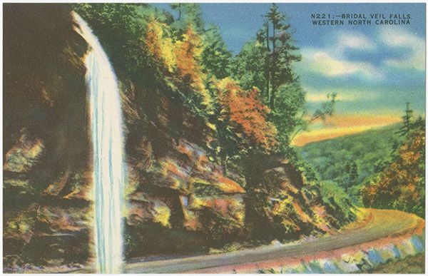
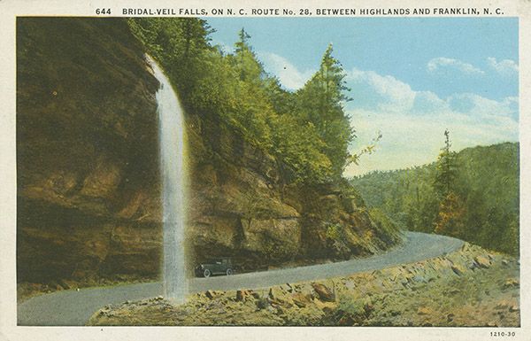
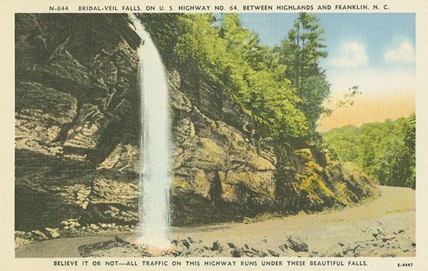
Bridal Veil is probably the most viewed waterfall in North Carolina, as everyone who has ever driven US 64 between Highlands and Frankling has laid eyes on it. And before 1959, everyone who drove the road did more than look at it. They got a free car wash under it!
Although not unique in the nation, the novelty of driving under a waterfall supposedly led to Robert Ripley featuring Bridal Veil Falls in his popular Believe It or Not. I’ve seen this claim in a couple of places but haven’t been able to verify it. I did find Niagara’s Bridal Veil Falls during my Ripley’s research.
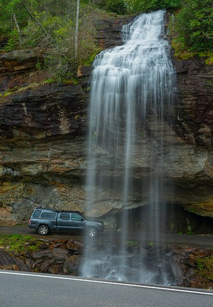
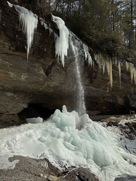
The waterfall is not super attractive and it’s on a very low-flow stream that can dry to little more than a trickle at times, but the easy access and idea of a road built behind it makes it popular.
Read the Cullasaja River section for an overview of the river and its waterfalls, including a list of landmarks with mile markers. You can find it by clicking the Little Tennessee River Basin button on the Rivers page.
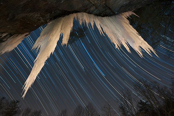
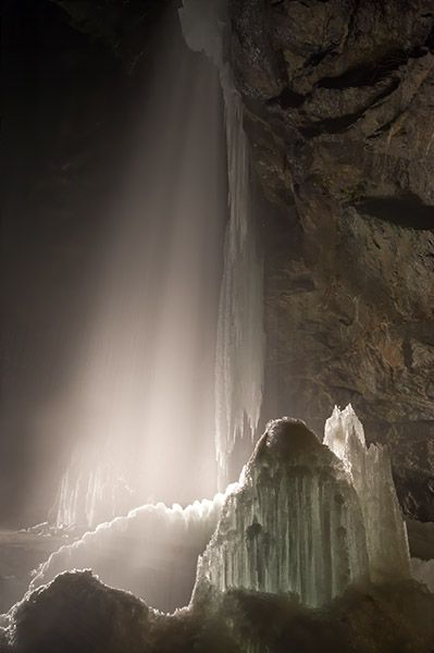
Bridal Veil Falls when it was legal to drive behind it. (025C-118213)
Driving Directions
Open driving directions in map appFrom the junction of US 64 and NC 106 in Highlands, drive 2.3 miles west on US 64. This is 14.45 miles from US 23/441 in Franklin. Trust me, you can’t miss it. Seriously.
Hiking Directions
Quick Glance
Open your eyes.
Detailed Look
You can no longer drive behind it, but you can walk behind it.
| Accessibility: | Roadside view |
| County: | Macon |
| River Basin: | Little Tennessee |
| Watercourse: | Tributary of Cullasaja River |
| Watershed: | Very small |
| Type and Height: | Upper slide and lower freefall totaling 116 feet |
| Landowner: | Nantahala NF, Nantahala RD |
| Beauty Rating: | 3 |
| Elevation: | 3560 feet |
| USGS Map: | Highlands NC/GA |
| Hike Difficulty: | View roadside |
| Hike Distance: | — |
| Waterfall GPS: | 35.0718, -83.2291 |
| Parking GPS: | 35.0718, -83.2291 |
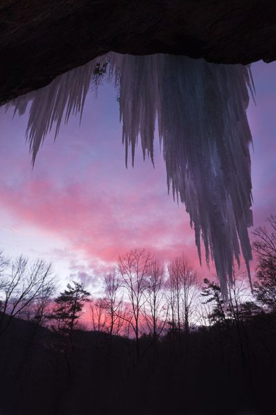
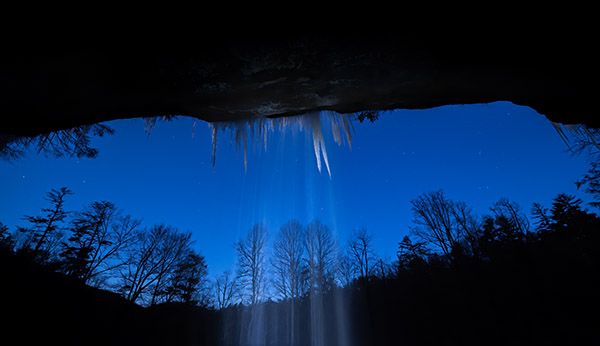
Photo Gallery
Click a photo to enlarge.
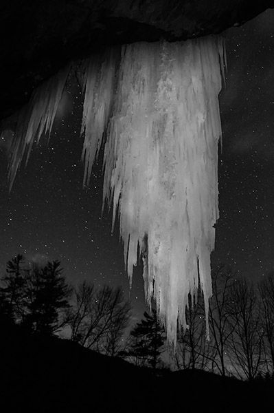
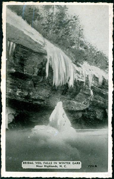
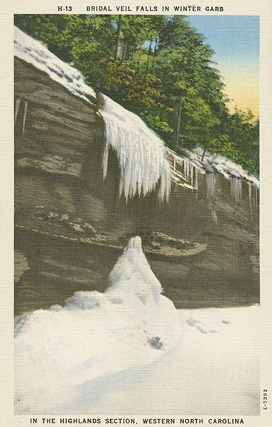
Historical Gallery
Click a photo to enlarge.