Bubbling Spring Branch Cascades


!
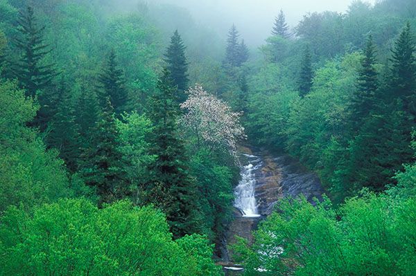
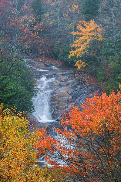
Visitors willing to scramble down the bank and cross a creek will find Bubbling Spring Branch Cascades a very worthwhile stop. It isn’t large or powerful, but its pleasant setting and inviting character make it appealing. It also makes an easy side trip from the Blue Ridge Parkway,
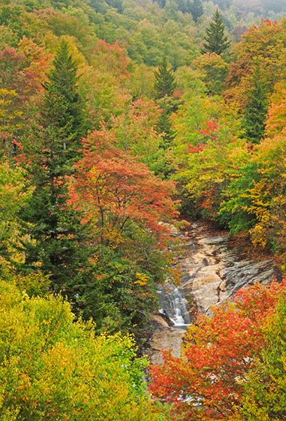
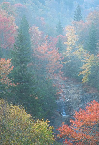
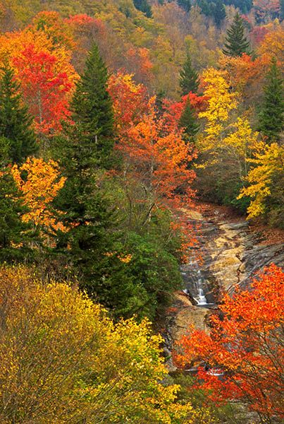
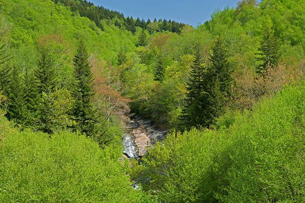
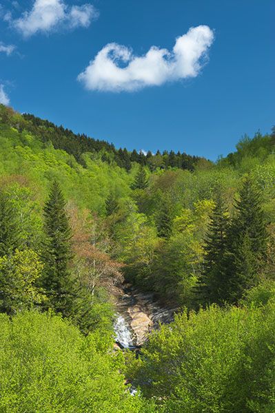
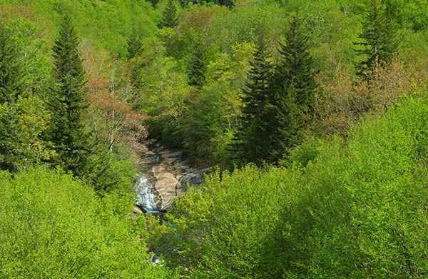
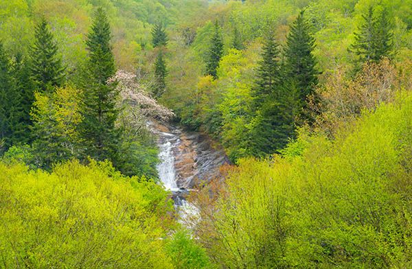
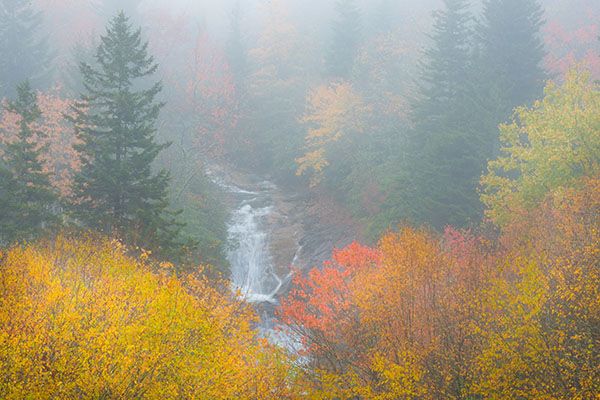
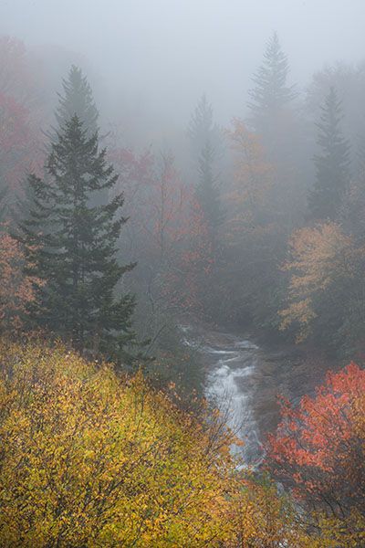
For years, the waterfall was visible from the parking area, but trees have since grown up and blocked the view.
Upstream from the main section of the falls is one of the area’s best secluded swimming holes, though reaching it requires a bit of an effort. The pool at the base of the falls is also a good play spot and is easier to reach.
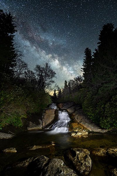
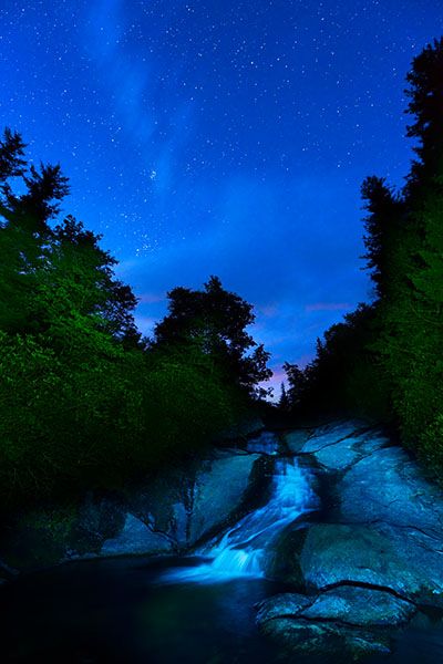
The Milky Way shines above Bubbling Spring Branch Cascades. (101A-174828M6)
Driving Directions
Open driving directions in map appFrom the junction of NC 215 and the Blue Ridge Parkway at Beech Gap, drive 1.9 miles north on NC 215 to the pullout on the right. From the other direction, the pullout is 16 miles south of US 276.
Hiking Directions
Quick Glance
Climb down bank, walk through campsite, cross tributary.
Detailed Look
Begin in the big hole in the pullout and walk under the guardrail—the only North Carolina waterfall that requires walking under instead of stepping over a guardrail. Climb down the bank and walk through a flat area with a campsite. Just beyond the campsite is the tributary crossing, and just beyond that is a short, easy climb up the rocks to the base of the falls.
A small path winds through the rhododendron on the river-left side and leads up to the open rock beside the waterfall. You can climb up the rock to reach the upper section of the falls and the swimming holes.
| Accessibility: | Forest path |
| County: | Haywood |
| River Basin: | French Broad |
| Watercourse: | Bubbling Spring Branch |
| Watershed: | Small |
| Type and Height: | Long sliding falls a little over 30 feet high Height estimated from LiDAR map. |
| Landowner: | Pisgah NF, Pisgah RD |
| Beauty Rating: | 5 |
| Elevation: | 4840 feet |
| USGS Map: | Sam Knob |
| Hike Difficulty: | Difficult |
| Hike Distance: | About 100 yards |
| Waterfall GPS: | 35.31387, -82.90972 |
| Trailhead GPS: | 35.31446, -82.91011 |
Photo Gallery
Click a photo to enlarge.
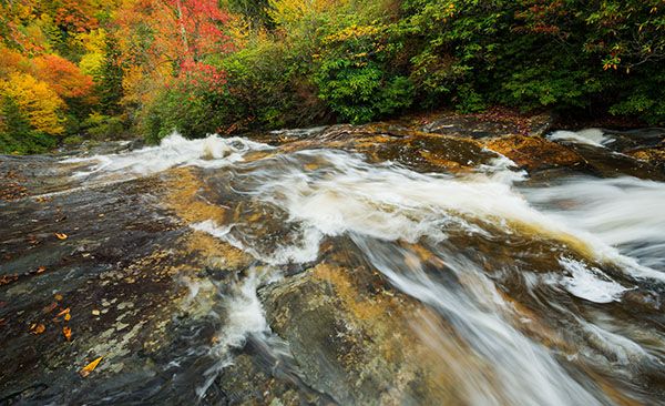
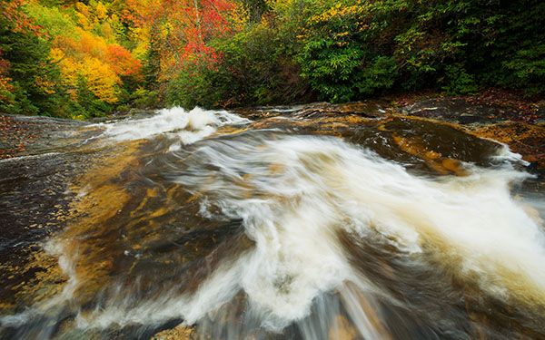
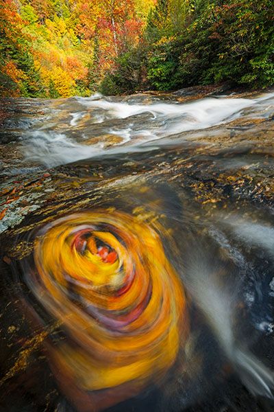
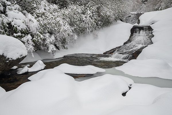
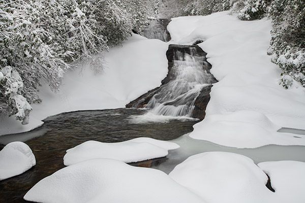
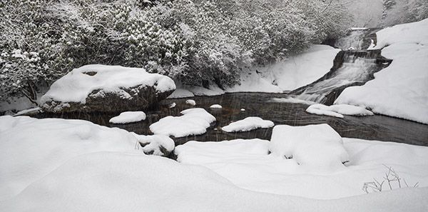
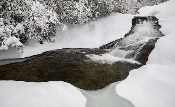
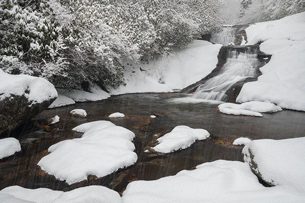
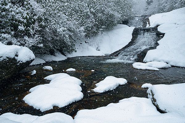
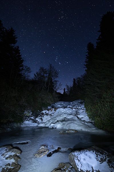
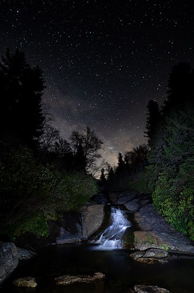
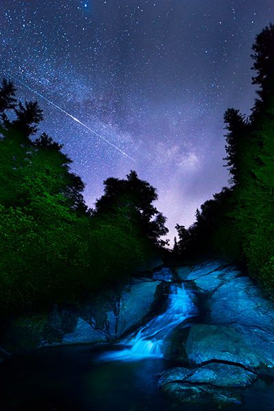
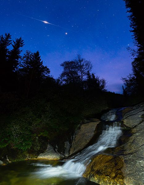
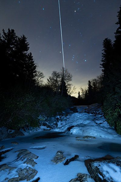
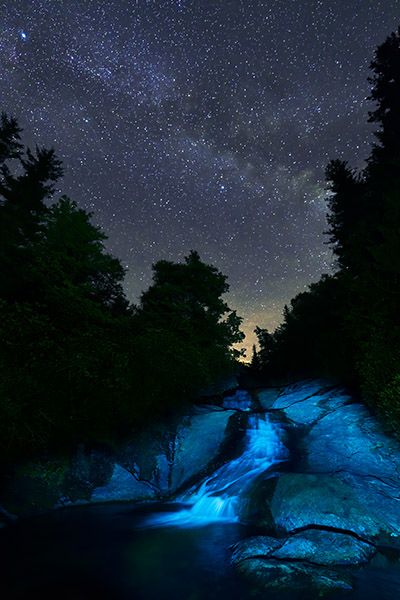
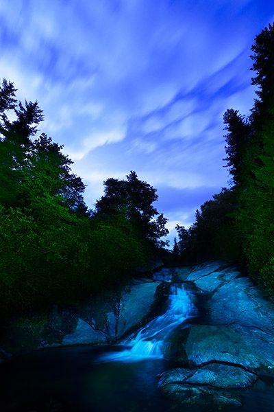
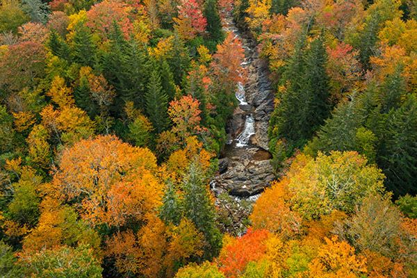
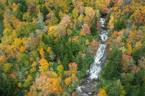
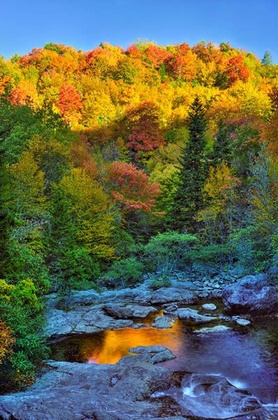
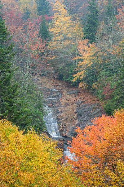
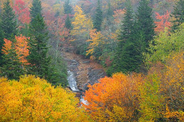
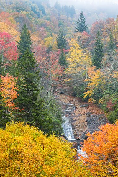
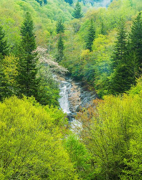
Photos made from parking area before view was blocked
Click a photo to enlarge.