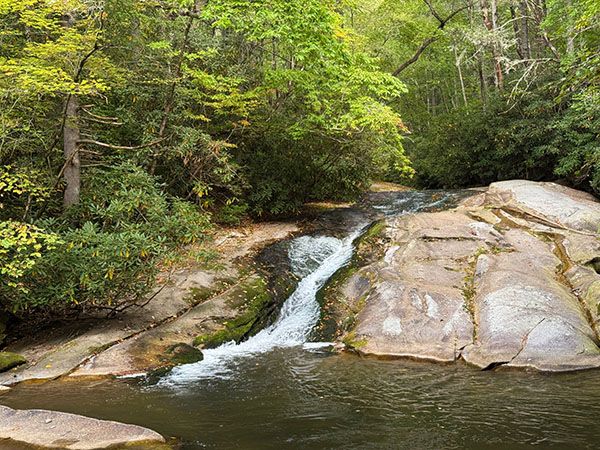
Bullhead Creek Falls
!
Stone Mountain State Park is chock full of waterfalls, some of them quite spectacular. Most of them are little known and require long hikes, often off trail. I have information for dozens of them that my waterfalling friends have provided, but unfortunately, I haven’t been able to get up there and check them all out. One day…
The most well-known and visited waterfalls in the park are Widows Creek Falls and Stone Mountain Falls. They are listed on maps and road signs. Middle Falls and Lower Falls are also listed in park literature and accessed by trail. I’ll soon add these waterfalls to the website. I’m adding Bullhead Creek Falls first because it’s on the new NCWaterfalls.com 100 Easy Waterfall Challenge and it’s not listed in my book, so I wanted to provide directions for those working on the challenge.
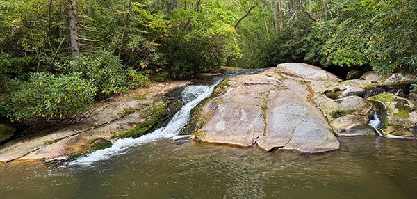
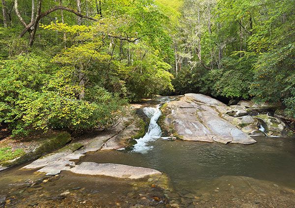
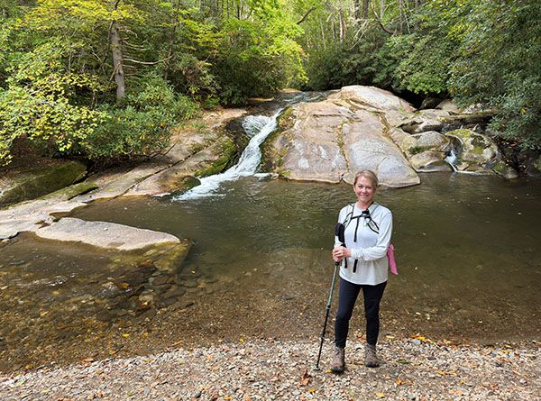
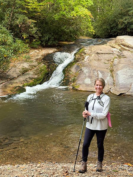
I visited this waterfall several years ago and dismissed it, I guess because of its size. Recently, Matt Perry told me about it and I visited again, thinking it was a new falls for me. I don’t know what I was thinking the first time. Yes, it’s small, but it has a lot of character. There’s a nice pool, gravelly beach, and it’s very easy to reach. Patricia and I both really like it.
(095R-267040)
Driving Directions
Open driving directions in map appFrom the gate at the park entrance on John P Frank Parkway, drive 3.5 miles on the main park road to the trailhead on the right, just before the road crosses Bullhead Creek.
Hiking Directions
Quick Glance
Follow the trail upstream to a fork. Turn left and walk a few feet down to the falls.
Detailed Look
No details needed.
| Accessibility: | Hiking trail |
| County: | Wilkes |
| River Basin: | Yadkin-Pee Dee |
| Watercourse: | Bullhead Creek |
| Watershed: | Small |
| Type and Height: | Sliding and cascading falls, 13 feet high Height measured with rangefinder. |
| Landowner: | Stone Mountain State Park |
| Beauty Rating: | 4 |
| Elevation: | 1400 feet |
| USGS Map: | Glade Valley |
| Hike Difficulty: | Easy |
| Hike Distance: | About 100 yards |
| Waterfall GPS: | 36.399477, -81.061438 |
| Trailhead GPS: | 36.398377, -81.061415 |
Photo Gallery
Click a photo to enlarge.