Bunches Creek Falls
!
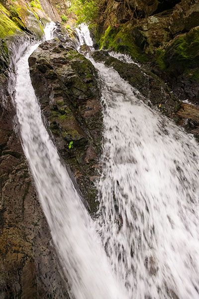
Bunches Creek Falls is one of the more interesting waterfalls in North Carolina. Near the upper part the creek squeezes through a narrow crevice, then makes a sharp turn where it has carved through the rock at a cliff, then goes through another crevice. On the river-right side of the upper section is a geologically striking knife ridge. I can’t recall seeing anything like it at any other waterfall.
The drawbacks are that there is no trail to the falls, the stream is small, and the S-curve nature of the falls makes it difficult and unsafe to get a good view of the entire falls.
(18-02-137288)
Driving Directions
Open driving directions in map appAt Wolf Laurel Gap, located at Milepost 458.2 on Blue Ridge Parkway, turn onto Heintooga Ridge Road. Drive 5.2 miles to Flat Creek Trailhead, on the left. The trailhead is the same for Flat Creek Falls.
Heintooga Ridge Road is closed in winter.
Hiking Directions
Quick Glance
Hike Flat Creek Trail to Bunches Creek and follow it downstream to the falls.
Note: I haven’t been to the falls since 2018 and I didn’t make notes about the hike on that visit.
Detailed Look
On my visit, I hiked to Flat Creek Falls first, then followed the creek downstream a short distance and cut over to Bunches Creek and followed it upstream. After exploring the falls, I continued up Flat Creek Trail.
I recall the bushwhack being somewhat tough until I got to the top of Bunches Creek Falls. From there it wasn’t too bad. Unless you also want to see Flat Creek Falls from the base on your hike, the best way to access Bunches Creek Falls would be to follow the creek downstream from the trail.
Maybe. The waterfall is close to the road, so hard-core bushwhackers might want to climb down that way. However, it’s very steep, with an elevation drop of around 400 feet.
| Accessibility: | Hiking trail and bushwhack |
| County: | Swain |
| River Basin: | Little Tennessee |
| Watercourse: | Bunches Creek |
| Watershed: | Small |
| Type and Height: | S-curve waterfall approximately 85 feet high Height estimated from LiDAR map. |
| Landowner: | Great Smoky Mountains NP |
| Beauty Rating: | 6 |
| Elevation: | 4520 feet This is a guess. |
| USGS Map: | Bunches Bald |
| Hike Difficulty: | Difficult |
| Hike Distance: | Approximately 0.7 miles I did not measure the distance. This is just an estimate. |
| Waterfall GPS: | 35.54887, -83.16876 |
| Trailhead GPS: | 35.55411, -83.1639 |
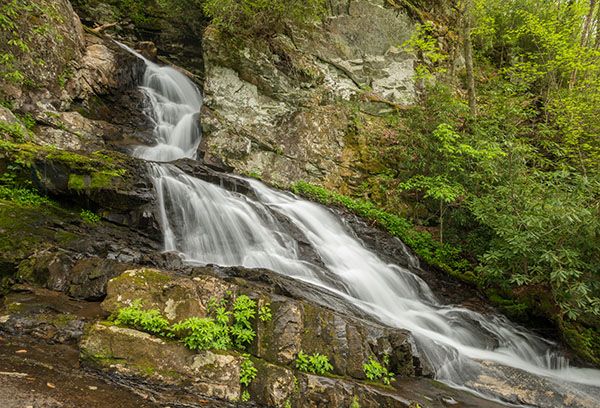
Photo Gallery
Click a photo to enlarge.