Clark Park Falls
!
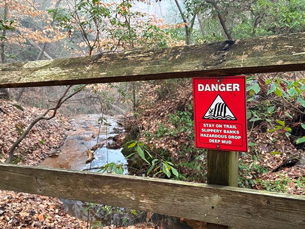
If you visit at the right time, Clark Park Falls is impressive. The right time is during periods of heavy flow when the leaves are off the trees. In summer, foliage hides most of the falls from the viewpoint and the creek dries to a trickle. To see it well, you’d have to climb down a steep bank and slog through sticky mud. Park officials understandably frown on such behavior, especially after one visitor became trapped in the mud and had to be pulled out with a rope attached to a vehicle.
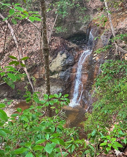
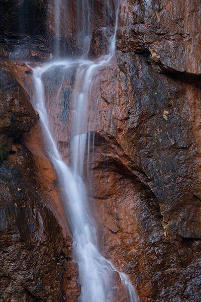
I’ve seen the waterfall listed as 50 feet high and touted as the highest in Cumberland County. The height is an exaggeration, but the other claim is likely true. It’s not just the height that is impressive for a waterfall in the eastern part of the state, but also the type. Clark Park Falls is a near-vertical drop into an amphitheater-like setting.
J. Bayard Clark Park & Nature Center is a Fayetteville gem, with hiking trails, Nature Center, nature programs, and even a primitive campground. It’s a great place to bring the family.
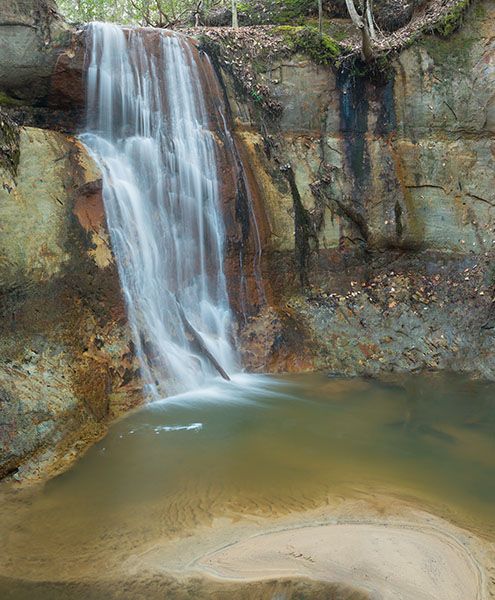
View from base. (015B-127017)
Driving Directions
Open driving directions in map appThe park is located at 631 Sherman Drive in Fayetteville. From the junction of US 401 and US 401 Business, go about 1.3 miles south on US 401B and turn left on Sherman Drive. Follow the road 0.4 miles to the park entrance, then continue 0.1 miles to the large gravel parking area.
Hiking Directions
Quick Glance
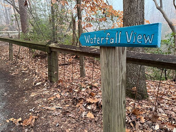
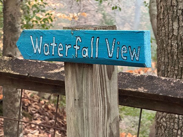
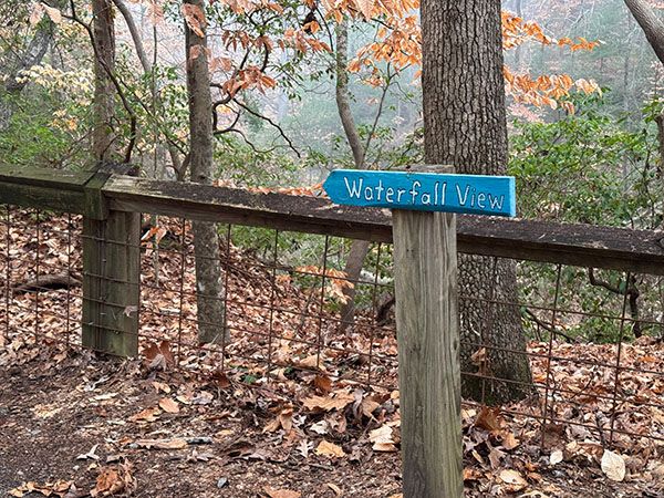
From the far end of the parking lot, take the paved path that crosses the railroad track. In a short distance, the path forks. Go left and follow the path to the Nature Center. Go around the right side of the center to the viewing deck for the falls.
Detailed Look
To view the falls from the base, you must climb down the steep bank and work your way up the creek to the pool. Park officials don’t want you to do this because of the obvious safety concerns. One person who disregarded their wishes became stuck in the deep mud that is often present and had to be pulled out with a rope attached to a vehicle.
| Accessibility: | Paved path |
| County: | Cumberland |
| River Basin: | Cape Fear |
| Watercourse: | Unnamed tributary of Cape Fear River |
| Watershed: | Very small |
| Type and Height: | Near-vertical 30-foot drop into pool Height estimated. |
| Landowner: | City of Fayetteville |
| Beauty Rating: | 4 If viewed from overlook during low flow, you might question this rating. |
| Elevation: | 90 feet |
| USGS Map: | Vander |
| Hike Difficulty: | Easy |
| Hike Distance: | About 0.1 miles |
| Waterfall GPS: | 35.088236, -78.868212 |
| Trailhead GPS: | 35.085883, -78.872832 Coordinates are for the entrance to the park. |
Photo Gallery
Click a photo to enlarge.