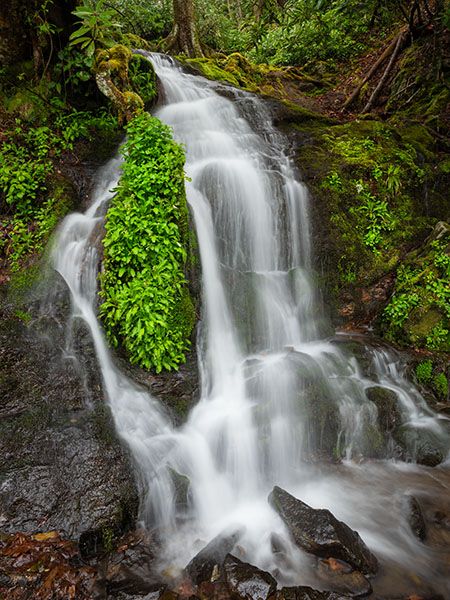
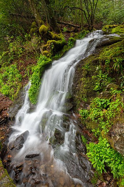
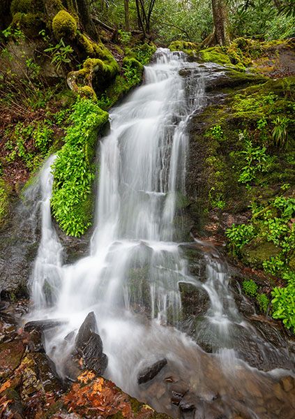
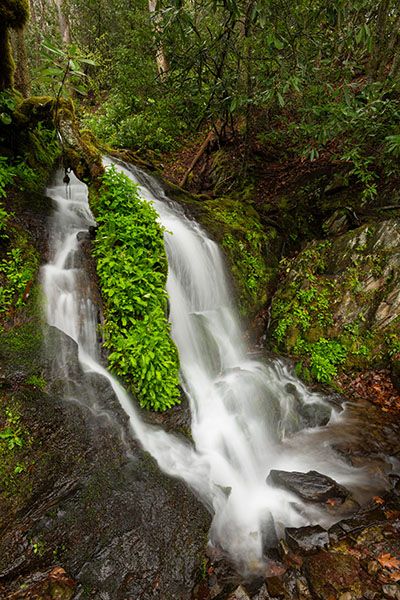
Cliff Branch Falls
Recommended: Good choice based on beauty and access.
Disabled access: Suitable for all visitors.
Waterfallson this site and counting
!
Here’s a nice little waterfall that can be quite scenic at times. In spring and after a good rain, it’s especially pretty and photogenic, but in times of normal flow, it’s not all that exciting. The good thing is that you don’t have to hike a long distance to find out. Just slow down your car and look out the window!
(15-01-137051)
SHOW MORE
Driving Directions
Open driving directions in map appThe waterfall is beside Newfound Gap Road (US 441), north of Cherokee. It’s 6.45 miles north of Oconaluftee Visitor Center and 3.35 miles north of Smokemont Campground. A narrow pullout is on the Oconaluftee River side of the road, opposite the waterfall.
Hiking Directions
If your car is pointed north, look out the driver’s side window.
| Accessibility: | Roadside view |
| County: | Swain |
| River Basin: | Little Tennessee |
| Watercourse: | Cliff Branch |
| Watershed: | Very small |
| Type and Height: | Steep, cascading falls about 18 feet high Height estimated. |
| Landowner: | Great Smoky Mountains NP |
| Beauty Rating: | 2 In the right conditions it’s a 5. |
| Elevation: | 2640 feet |
| USGS Map: | Smokemont |
| Hike Difficulty: | View roadside |
| Hike Distance: | View roadside |
| Waterfall GPS: | 35.5814, -83.35132 |
| Parking GPS: | 35.58148, -83.35101 |
Photo Gallery
Click a photo to enlarge.