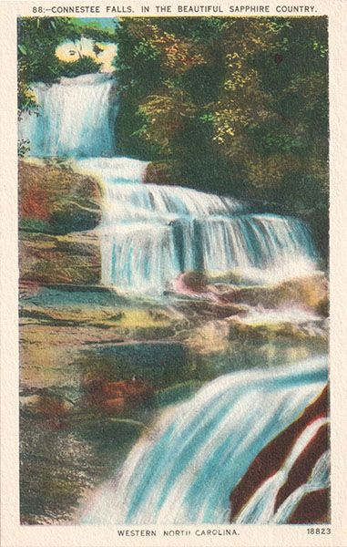
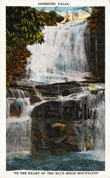
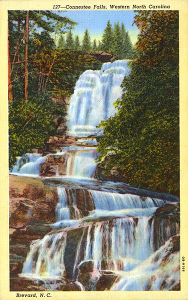
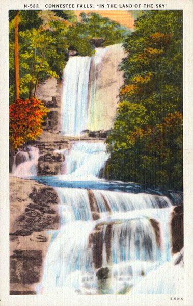
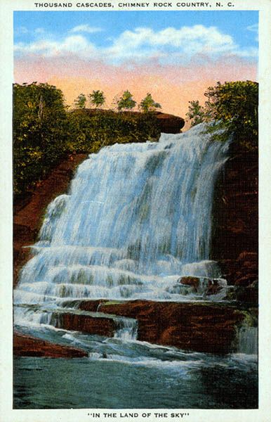
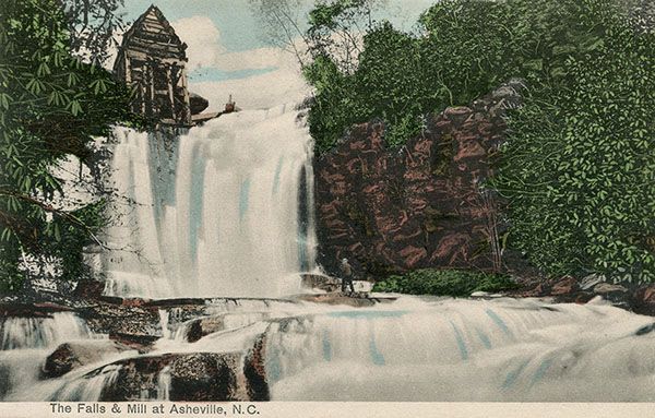
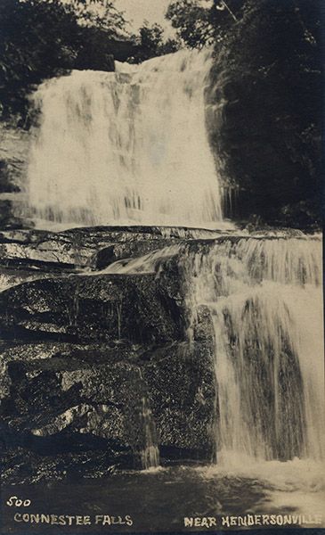
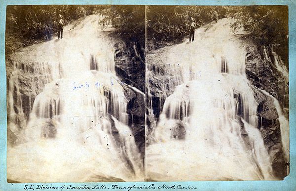
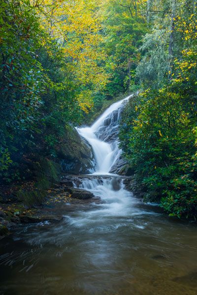
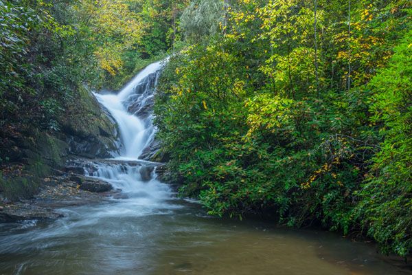
Connestee Falls
!
I’ve ruffled a few feathers with the comments about Connestee Falls in my North Carolina Waterfalls book and my old waterfalls website, and I don’t expect to smooth things over here. But hey, at least I raised the beauty rating from 1 to 3. If you could view it from the base, I’d give it a much higher rating as it really is a gorgeous waterfall. It’s the public view of it that’s horrible.
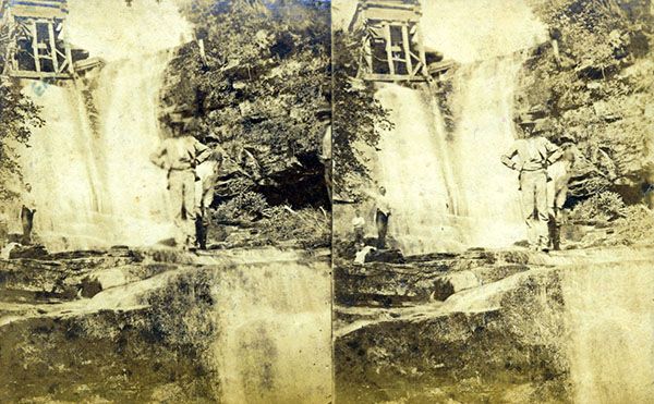
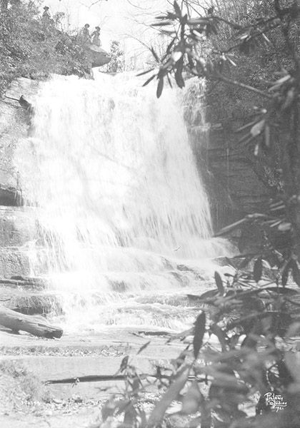
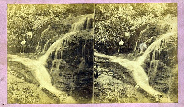
I remember visiting Connestee Falls as a child, before the paved parking lot and real-estate office were built and you hiked down to the base without safety railing and cables. It was just another waterfall in a county filled with them. A lot has changed since then, and I’m not just talking about my hairline.
Sometime after I published the first edition of North Carolina Waterfalls in 1994, public access to the base of the falls was prohibited. You could still walk out to the top and view the falls from an overlook, but you couldn’t see much from there. After the second edition in 2005, Carolina Mountain Land Conservancy (now Conserving Carolina) began working with the landowner, enabling Transylvania County to acquire the property for a park. Everyone was happy that Connestee Falls was finally going to be protected. I was particularly excited that the county was going to create a park, as the old trail would be rebuilt, allowing full access to the falls again. I know many other people felt the same.
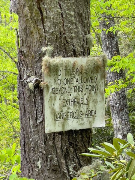
Connestee Falls Park opened in 2011. The park has a kiosk, a portable toilet, and a boardwalk leading to a viewing deck at the top of the falls. That’s it. Access to the base is strictly prohibited. Visitors who ignore the signs are thwarted by fencing. I was told years ago that the county had a plan for opening access to the base, but nothing has been done on sight.
Sadly, the story is not finished. When Conserving Carolina acquired the land for the county, the tract did not include the entire slope above the falls. And I’m sure the organization had no idea that building regulations would permit a house up there anyway. So, what we have now is a boardwalk leading to a poor view of a waterfall that has a big house sitting on the mountainside above it. Fortunately, the house does not interfere with the view of the waterfall when you look downstream. Conserving Carolina’s involvement was strictly in enabling Transylvania County to acquire the land and it was not involved in developing the park.
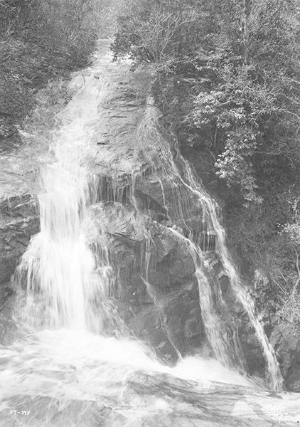
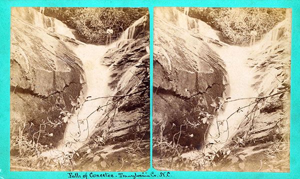
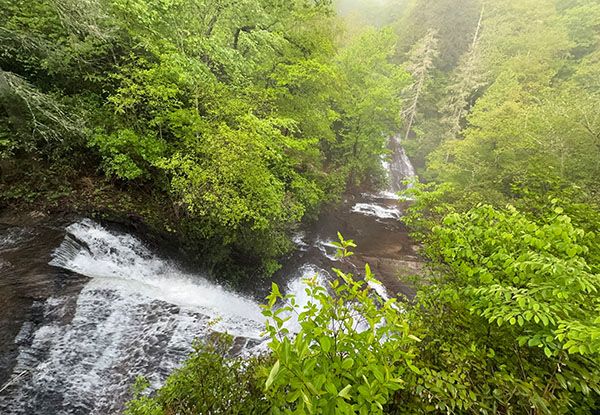
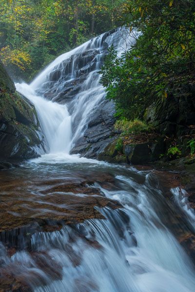
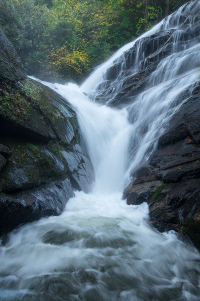
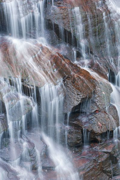
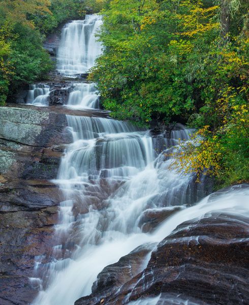
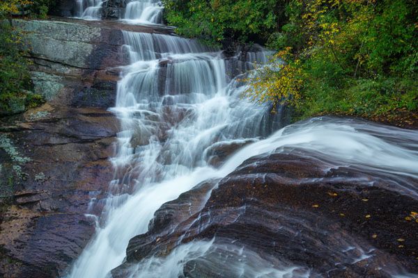
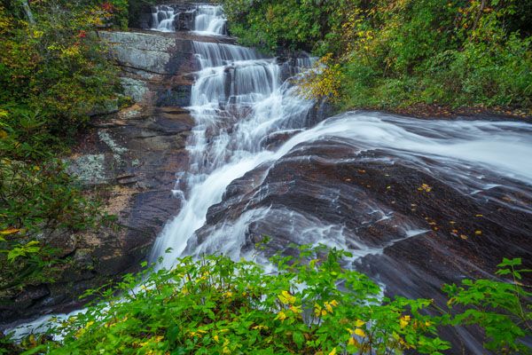
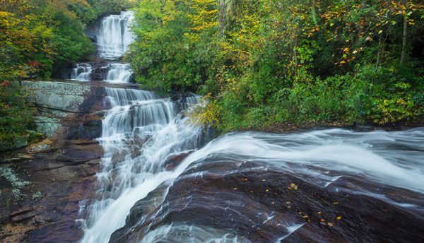
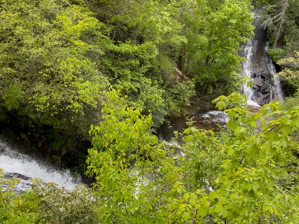
There are actually two waterfalls here, each on a separate creek. On the overlook, you stand at the top of Connestee Falls on Carson Creek. Across the gorge, Batson Creek Falls cascades down to meet Connestee. The now-joined creeks squeeze through a cleft known as Silver Slip, but you can’t see it from the upper overlook. You can see Batson Creek Falls pretty well from the overlook, but not Connestee. I’ve heard people say they thought the view from the deck was good because you can see Batson Creek Falls fairly well. That’s true, but my beauty rating is for Connestee Falls.
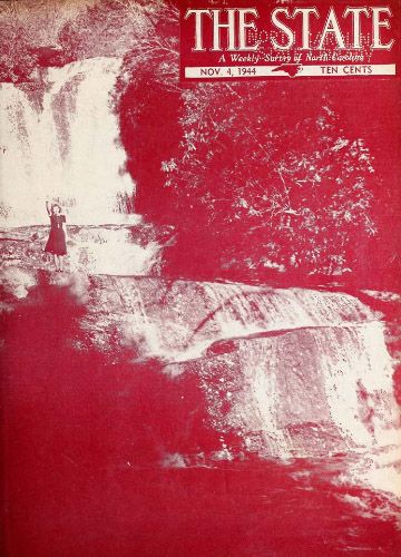
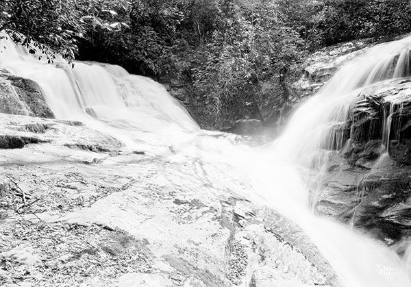
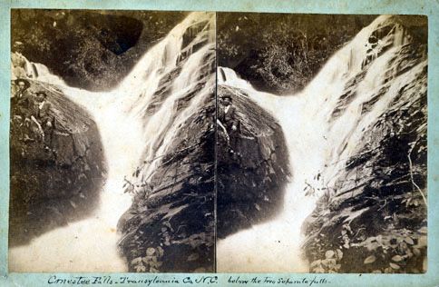
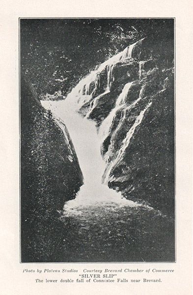
Speaking of Silver Slip, I've often heard it listed as a separate waterfall from Connestee and Batson Creek. Jim Bob Tinsley dedicates an independant page and photo to it in his book on Transylvania County waterfalls.163 There is a small cascade below the junction of the two waterfalls, but it isn't big enough to warrant a name. The cleft where Tinsley says "the combined waters are squeezed...and forced between two sheer walls of granite known as Silver Slip" is merely the bottom section of Connestee Falls and Batson Creek Falls. in other words, the base of Silver Slip is also the base of both Connestee and Batson Creek. As such, I'm not treating Silver Slip as a seperate waterfall but only the name of the cleft where Connestee and Batson Creek join.
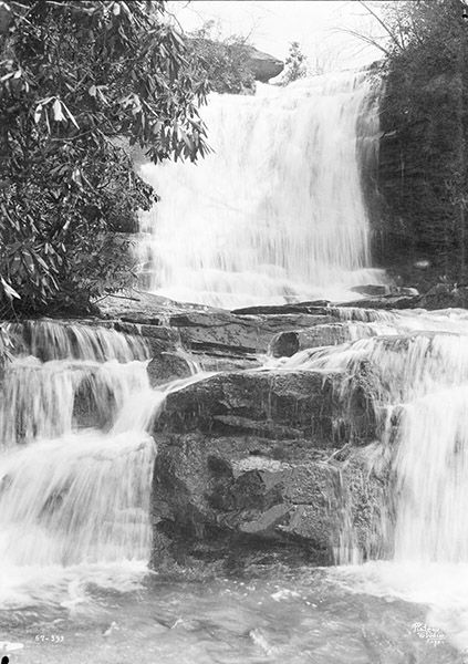
I made some of the photos included here from across the gorge. A network of trails provides access to Batson Creek Falls, two upstream falls on Batson Creek, a small waterfall on a side stream, and some pretty little waterfalls downstream from Connestee Falls. The folks at Connestee Falls development have done a wonderful job protecting this property and maintaining the impressive trail system. However, only residents and their guests are allowed to hike the trails on the Batson Creek Falls side.
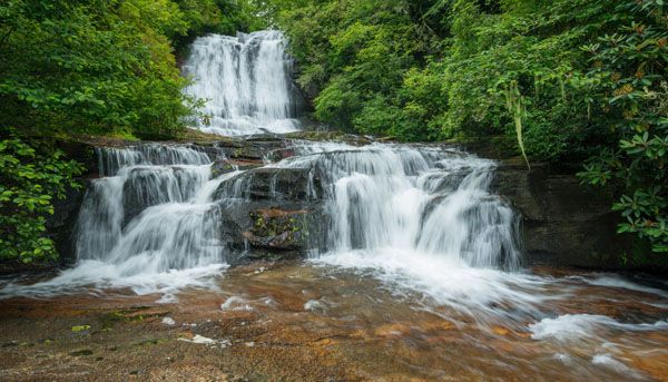
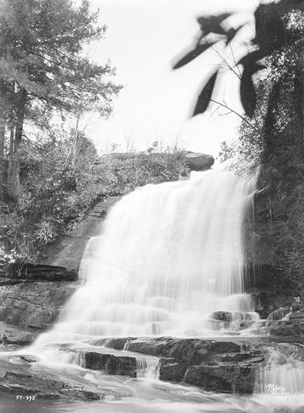
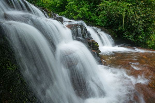
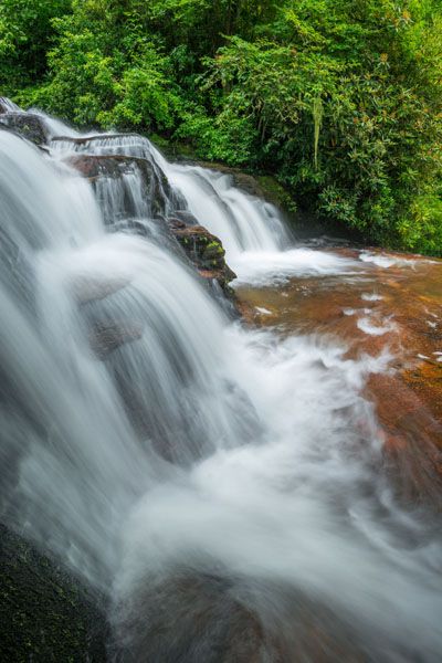
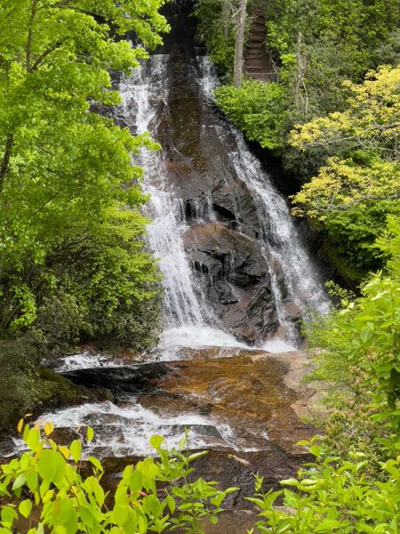
The view from the base of the second section of the falls. (021A-109373)
Driving Directions
Open driving directions in map appDrive 5.8 miles south from downtown Brevard on US 276 and turn right into the paved parking area. Look for the Connestee Falls Park sign.
Hiking Directions
Quick Glance
A short concrete path leads to the boardwalk.
Detailed Look
You don’t need details for this one.
| Accessibility: | Boardwalk |
| County: | Transylvania |
| River Basin: | French Broad |
| Watercourse: | Carson Creek |
| Watershed: | Small |
| Type and Height: | Multilevel drop totaling about 85 feet Height estimated. |
| Landowner: | Transylvania County |
| Beauty Rating: | 3 |
| Elevation: | 2560 feet |
| USGS Map: | Brevard NC/SC |
| Hike Difficulty: | Easy |
| Hike Distance: | 60 yards |
| Waterfall GPS: | 35.16422, -82.73068 |
| Trailhead GPS: | 35.16468, -83.73076 GPS reading is from the viewing deck at the top of the falls. |
Photo Gallery
Click a photo to enlarge.

Historical Gallery
Click a photo to enlarge.