Cover Falls
!
I’m so happy to report that Cover Falls is now a member of an exclusive club: Once private North Carolina waterfalls that are now open to the public.It was in private ownership until 2024 when Mainspring Conservation Trust acquired the property. But Mainspring didn’t just acquire the land. They also built a nice trail to the falls and opened it to the public. How cool is that!
Mainspring held the ribbon cutting for Cover Falls Preserve and the opening of Lillian Brittain Cover Trail on June 5, 2026. The half-mile trail is the first phase of a planned 1.3-mile loop trail.
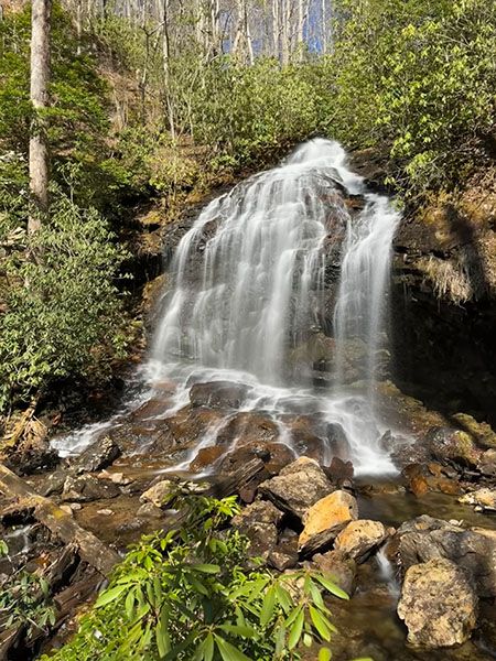
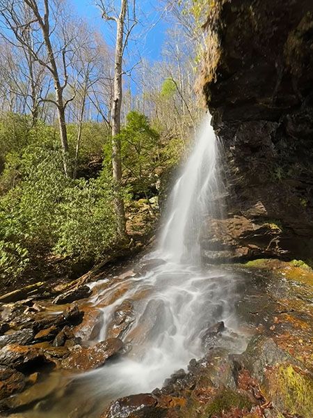
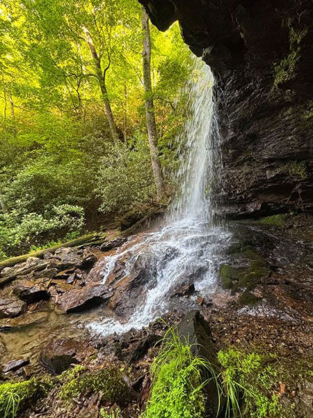
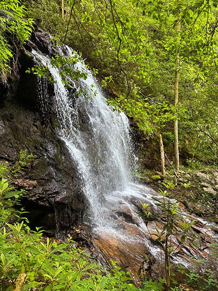
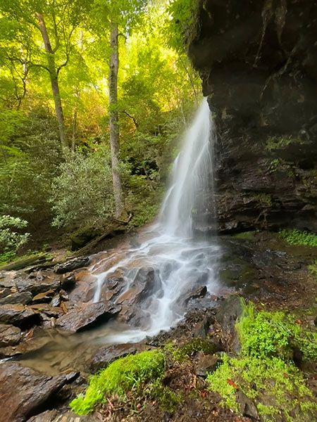
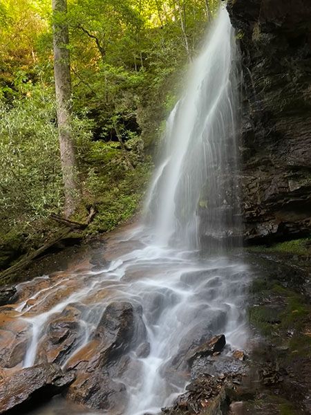
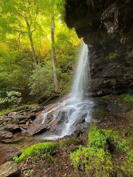
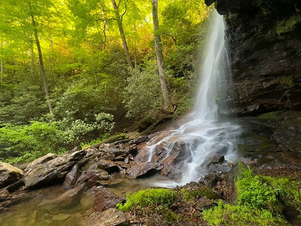
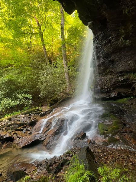
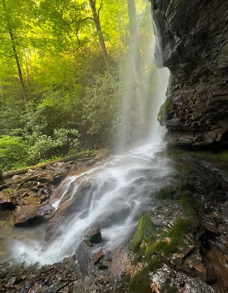
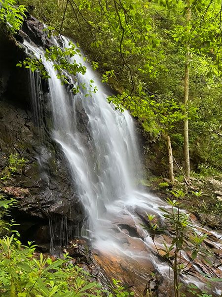
It’s not just that we have a new accessible waterfall to visit. Cover Falls is gorgeous and highly photogenic! Plan to spend some time soaking it all in.
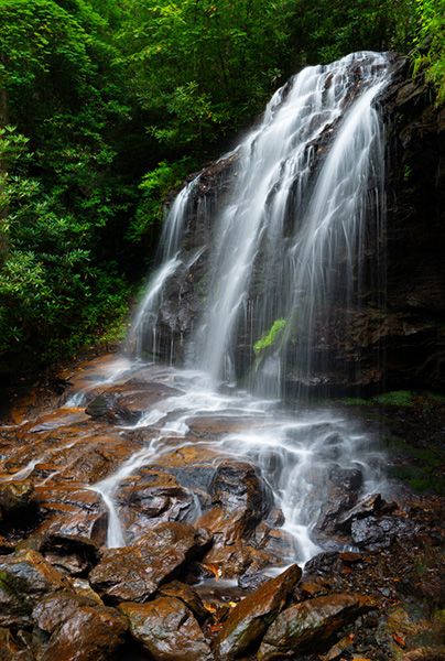
Cover Falls. (001F-123829)
Driving Directions
Open driving directions in map appFrom the junction of Beaver Creek Road (SR 1389) and US 19/129/74 Bypass in Andrews, head north on Beaver Creek Road and in a quarter mile turn right on Stewart Road (SR 1389). Drive 0.4 miles and turn left on Cover Falls Road. Proceed 0.1 miles to the trailhead on the right.
Hiking Directions
Quick Glance
Walk a short distance beyond the gate and bear right on the trail and follow it to the falls.
Detailed Look
About 30 feet beyond the gate is an obvious trail veering right. Take it and pass under a high powerline in a little over 0.1 miles. In another 0.2 miles you’ll cross Britton Creek on a footbridge. Beyond the bridge, the trail ascends rather steeply for a short distance as it switchbacks up the slope. You’ll arrive at the falls in 0.2 miles from the creek crossing.
| Accessibility: | Hiking trail. |
| County: | Cherokee |
| River Basin: | Hiwassee |
| Watercourse: | Britton Creek |
| Watershed: | Small |
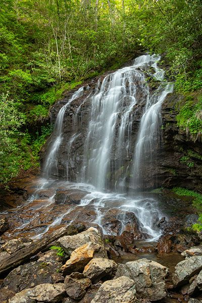
| Type and Height: | Steep, cascading falls about 55 feet high Height measured with rangefinder. |
| Landowner: | Mainspring Conservation Trust |
| Beauty Rating: | 7.5 |
| Elevation: | 1880 feet |
| USGS Map: | Andrews |
| Hike Difficulty: | Moderate, with a steepish section |
| Hike Distance: | 0.5 miles |
| Waterfall GPS: | 35.221256, -83.823033 |
| Trailhead GPS: | 35.215525, -83.82353 |
Photo Gallery
Click a photo to enlarge.