DEW Falls
D.E.W. FallsDorothy Falls
!
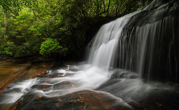
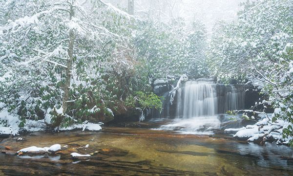
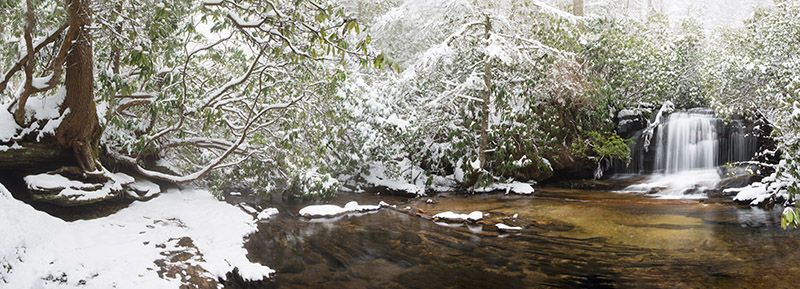
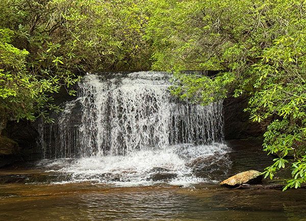
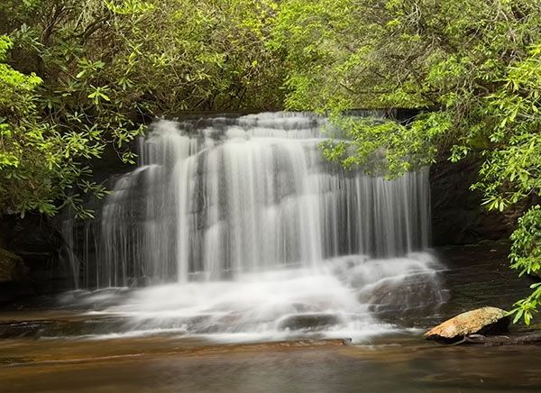
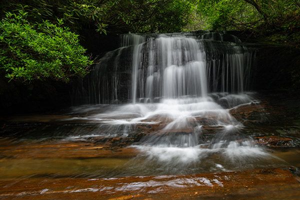
DEW Falls is not big, but it’s in a scenic setting and is easy to reach. It’s definitely worth taking a 30-minute detour from the bigger falls in the area.
The small, somewhat open area at the trailhead just beyond the gate used to be a nice campsite, complete with tent pad and picnic table. I camped there many nights while working on the second edition of North Carolina Waterfalls. Unfortunately, as is too often the case across the mountains, boneheads repeatedly vandalized the site, forcing the Forest Service to gate it permanently.225
Mill Creek is Thompson River’s largest tributary. It’s odd that it isn’t named on the USGS topo map (it is designated on Gaia). It’s not a big creek, but it’s bigger than many other streams that are named. I have a copy of an old deed map that calls it Gumbottom Creek. I’ve also heard locals use that name.
(061F-163430)
Driving Directions
Open driving directions in map appFrom the junction of NC 281 and US 64 west of Lake Toxaway, drive 4.95 miles south on NC 281 and park on the right at the gate. This is a few hundred feet north of the trailhead for Johns Jump Falls.
Hiking Directions
Quick Glance
Follow the old road beyond the gate for a couple of hundred feet and turn left on the obvious path.
Detailed Look
Walk beyond the gate through an old campsite and begin ascending an old road. About 125 feet from the campsite, a side path turns left. Look for a unique Y-shaped tree a few feet in on the side path. The path leads less than 100 yards to the falls. When you reach the falls, you must scramble down the bank for a few feet.
| Accessibility: | Hiking trail |
| County: | Transylvania |
| River Basin: | Savannah |
| Watercourse: | Mill Creek |
| Watershed: | Small |
| Type and Height: | Mostly freefalling 12-foot-high falls Height measured with rangefinder. |
| Landowner: | Nantahala NF, Nantahala RD |
| Beauty Rating: | 6 |
| Elevation: | 3180 feet |
| USGS Map: | Cashiers NC/SC/GA |
| Hike Difficulty: | Easy/moderate You must make a short scramble down a steep bank to reach a good view of the falls. |
| Hike Distance: | About 0.1 miles |
| Waterfall GPS: | 35.0685, -83.00942 |
| Trailhead GPS: | 35.06828, -83.0079 |
Photo Gallery
Click a photo to enlarge.