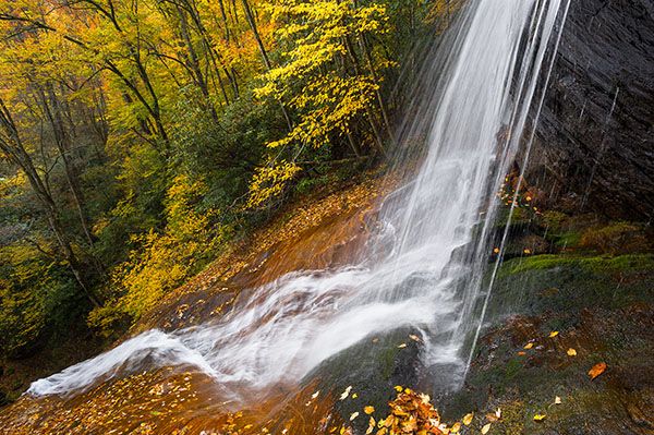
Dill Falls



!
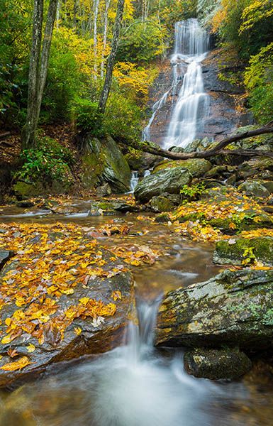
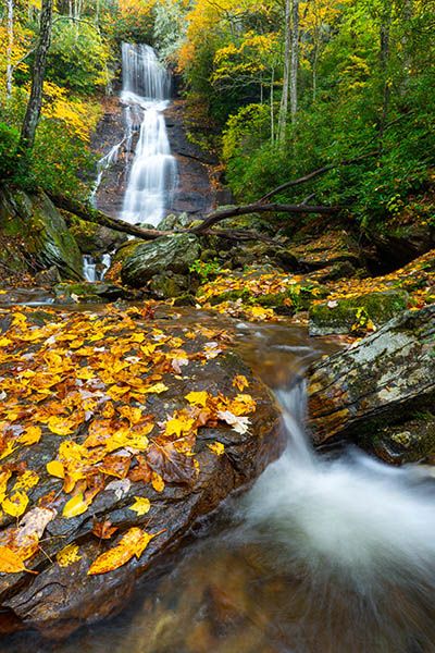
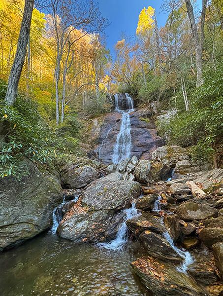
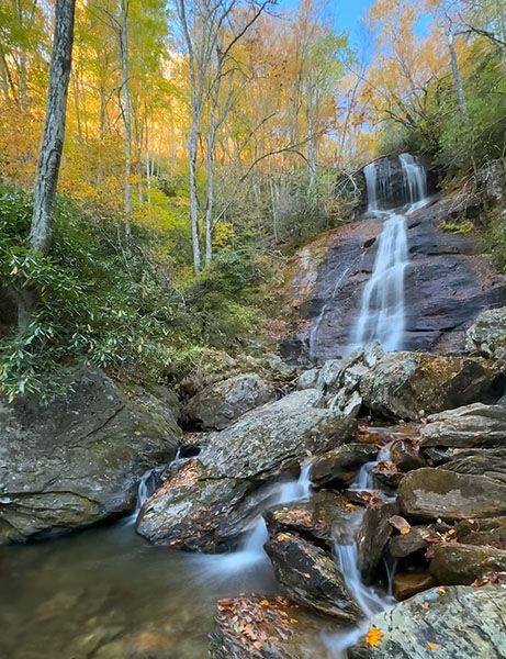
Scenic and easy to reach, Dill Falls is a rewarding stop for waterfall enthusiasts. It’s a great side trip from the Blue Ridge Parkway. If you’re a hard-core waterfaller, you’ll want to add Upper Dill Falls to the journey. You can easily visit both waterfalls during a two-hour detour from the Parkway.
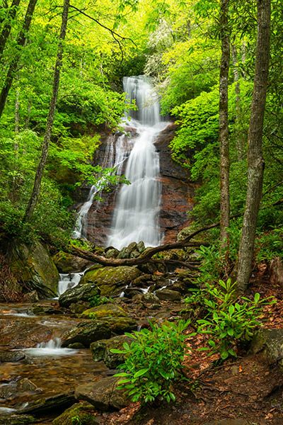
Dill Falls. (028A-101571)
Driving Directions
Open driving directions in map appThe trailhead is the same for Dill Falls and Upper Dill Falls.
From Beech Gap on the Blue Ridge Parkway, drive 2.65 miles south on NC 215 and turn right onto the gravel FS 4663. The road is easy to miss and may look like a driveway. If you’re coming from US 64 near Rosman, drive 14.4 miles north on NC 215 and turn left onto FS 4662.
Continue 1.9 miles on FR 4663, then bear left onto FS 4663B. The turn may seem a little sketchy, but it’s okay. Follow FS 4663B for 0.55 miles to its end.
Note: FS 4663 has a gate 0.6 miles in and it’s typically closed from December 15 to March 15.
Hiking Directions
Quick Glance
Follow the path descending from the parking area to a creek crossing below the falls.
Detailed Look
As you approach the end of FR 4663B, you’ll see two old forest roads on the right. The one cutting sharply right that ascends is the access for Upper Dill Falls. The other one is very close but it descends and looks more like a trail. That’s the one for Dill Falls. It goes down to a crossing of Tanasee Creek a short distance below the falls. You can easily view the falls from there or work your way upstream a bit for a closer view.
| Accessibility: | Hiking trail |
| County: | Jackson |
| River Basin: | Little Tennessee |
| Watercourse: | Tanasee Creek |
| Watershed: | Small |
| Type and Height: | A short freefall, then a steep, cascading slide, all totaling nearly 100 feet high |
| Landowner: | Nantahala NF, Nantahala RD |
| Beauty Rating: | 7 |
| Elevation: | 4120 feet |
| USGS Map: | Sam Knob The topo map mistakenly places Dill Falls at the location for Upper Dill Falls. |
| Hike Difficulty: | Easy+ |
| Hike Distance: | Less than 0.2 miles |
| Waterfall GPS: | 35.28296, -82.94363 |
| Trailhead GPS: | 35.28274, -82.94092 |
Photo Gallery
Click a photo to enlarge.