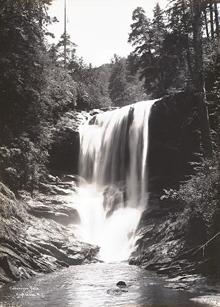
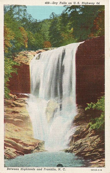
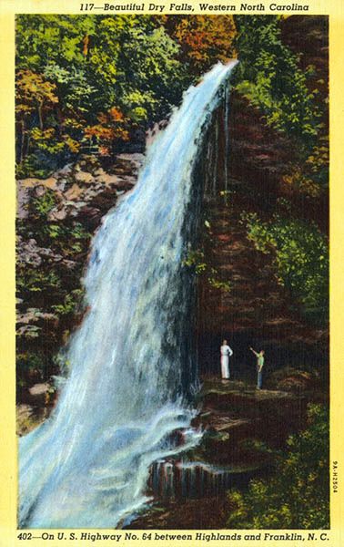
Dry Falls
!
“Here is a fall upon whose virgin rocks no quack has painted his shameless sign; whose precipices have not been invaded by the mob of the grand tour; whose solitary magnificence thrills and impresses you as if in some barren land you came upon the dazzling lustre of a priceless diamond. But to this, and its brother a few miles below, the feet of thousands of the curious will hereafter wander.” Edward King, in The Great South, 1879
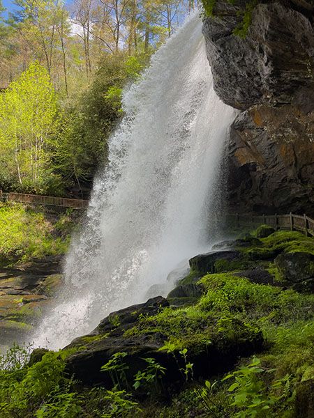
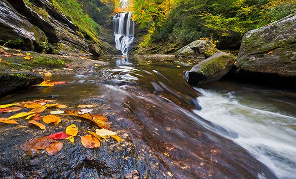
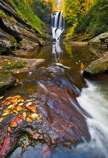
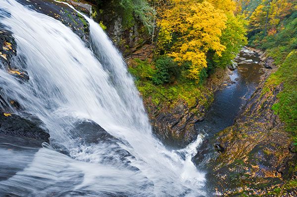
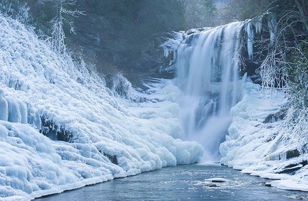
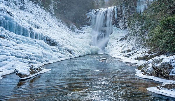
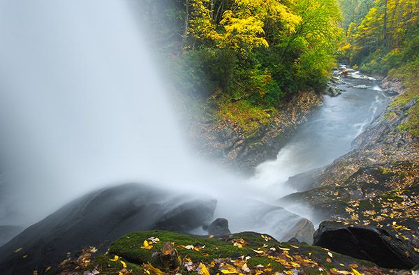
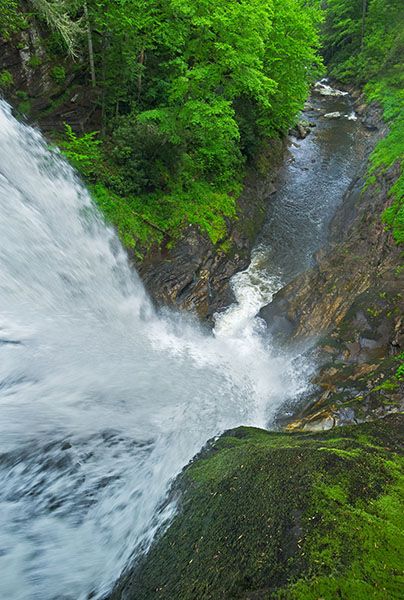
And wander they have. Dry Falls is among North Carolina’s most alluring waterfalls. Beauty, power, geology, biology, photography, history, ease of access, and fun all come together here. Few waterfalls in the state have as much to offer so many different people. About the only thing it doesn’t have is an opportunity for swimming or wading. That’s a big no-no here.
If you want to avoid the crowds at Dry Falls, just get here before breakfast. Even on a weekend, you’ll have it all to yourself at 7 a.m. The small parking lot limits the number of visitors at any given time as there is no place to park along the road, but enough people can park here to make you feel like you’re in a can of sardines. A Forest Service official told me several years ago about plans to build a larger parking lot across US 64, with a footbridge crossing the road. I don’t know if that’s still on the books, but I’m glad they haven’t built it yet.
And speaking of not building something, when the road from Highlands to Franklin was on the drawing boards, consideration was given to routing it behind Dry Falls, just as they did at Bridal Veil Falls. Oh my! If you’ve visited Dry Falls, you know that building a two-lane road behind it would have totally spoiled the waterfall.
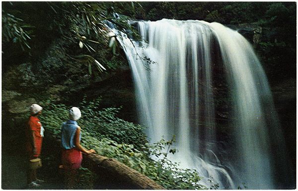
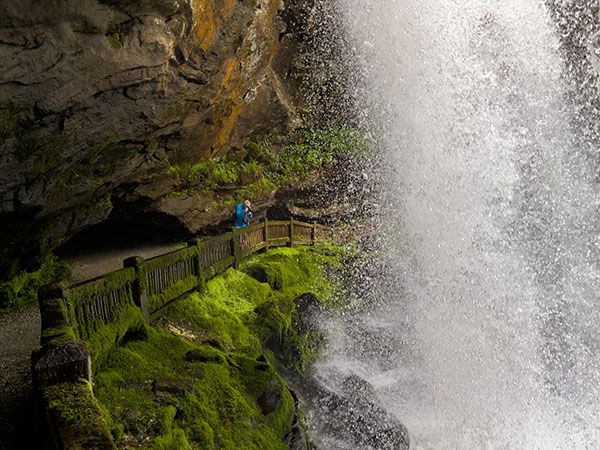
The trail down to the falls is not suitable for persons with limited mobility, but an accessible boardwalk leads to a nice view of the falls at the parking lot level.
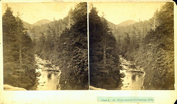
Read the Cullasaja River section for an overview of the river and its waterfalls, including a list of landmarks with mile markers. You can find it by clicking the Little Tennessee River Basin button on the Rivers page.
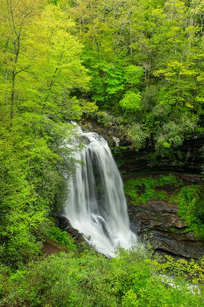
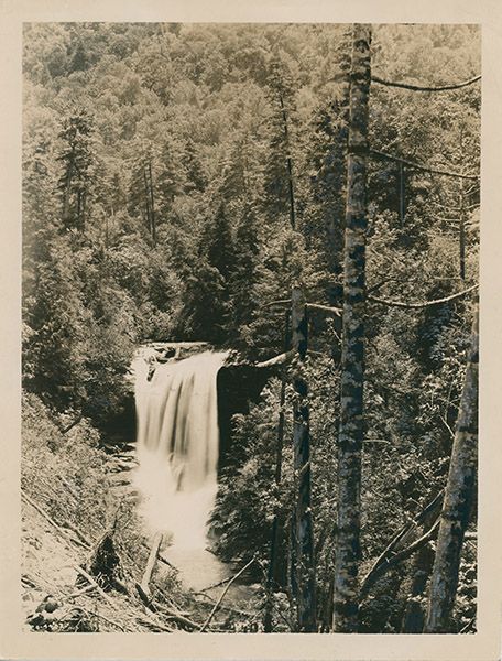
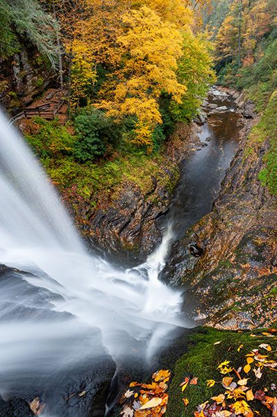
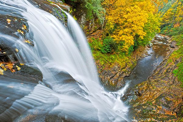
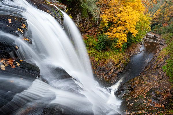
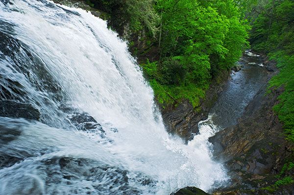
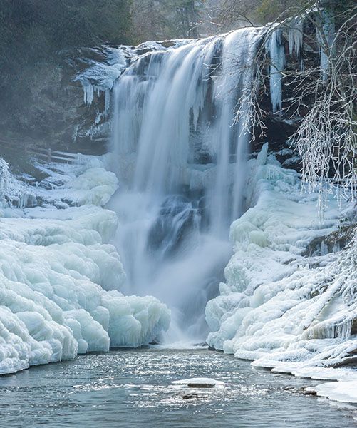
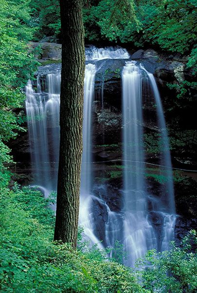
View of Dry Falls from the upper observation deck. (025D-263254)
Driving Directions
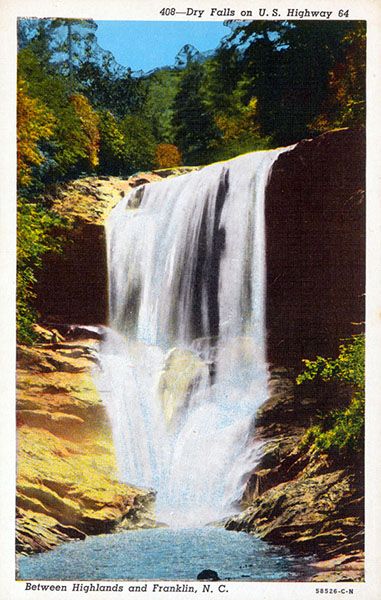
Open driving directions in map appFrom the junction of US 64 and NC 106 in Highlands, drive 3.15 miles west on US 64 to the signed parking area on the left. This is 13.6 miles east of US 23/441 in Franklin.
Hiking Directions
Quick Glance
Pay the fee and follow the obvious trail to the base of the falls or to the boardwalk view of the falls.
Detailed Look
Details not needed for Dry Falls.
| Accessibility: | Paved path |
| County: | Macon |
| River Basin: | Little Tennessee |
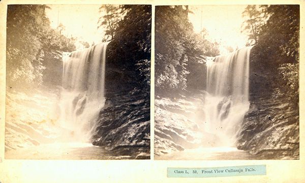
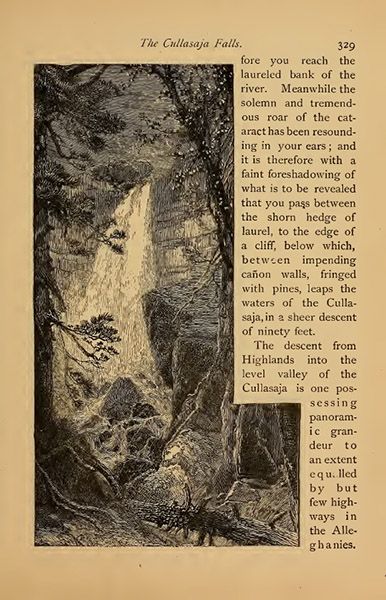
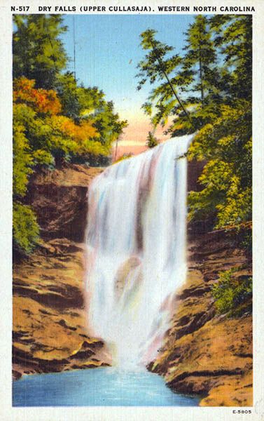
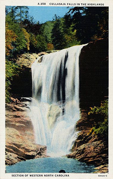
| Watercourse: | Cullasaja River |
| Watershed: | Medium |
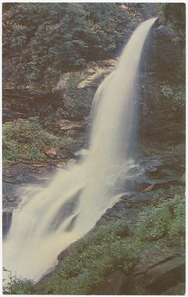
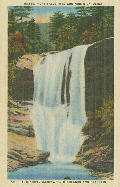
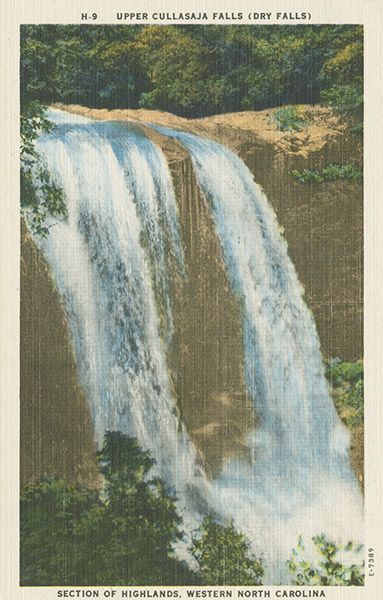
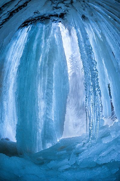
| Type and Height: | 85-foot slide, cascade, and freefall, with most of it freefalling Height measured with rangefinder. |
| Landowner: | Nantahala NF, Nantahala RD |
| Beauty Rating: | 9 |
| Elevation: | 3360 feet |
| USGS Map: | Highlands NC/GA |
| Hike Difficulty: | View from parking area and moderate hike to base |
| Hike Distance: | About 0.1 miles |
| Waterfall GPS: | 35.06869, -83.23889 |
| Trailhead GPS: | 35.06841, -83.23856 |
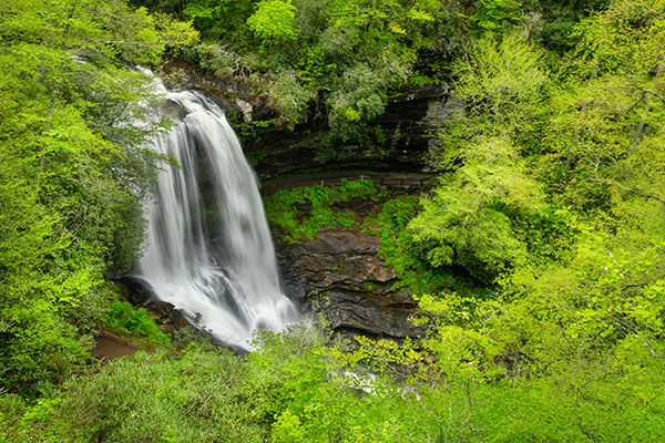
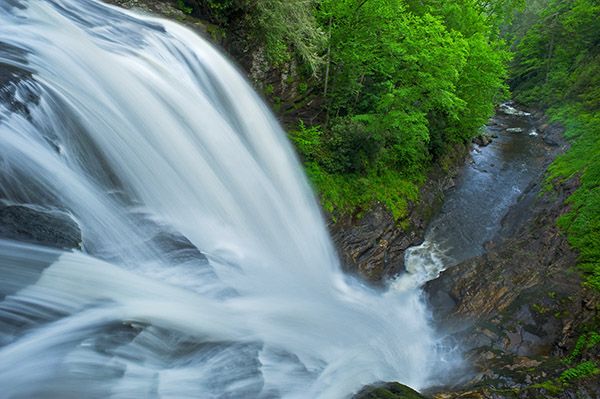
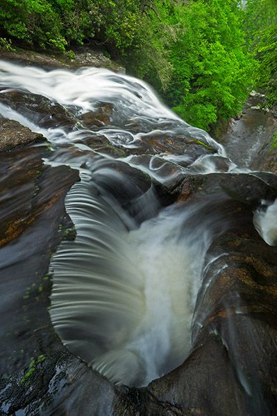
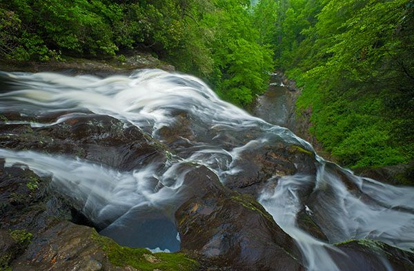
Photo Gallery
Click a photo to enlarge.
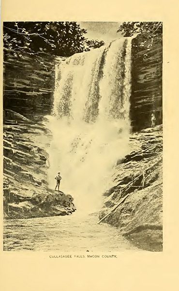
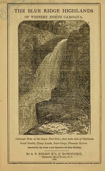
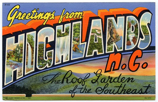
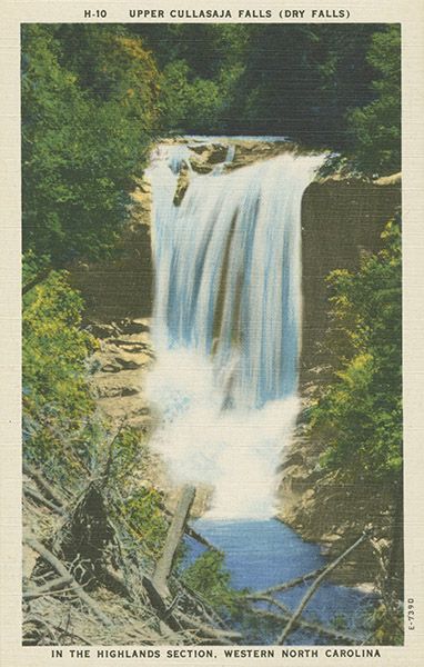
Historical Gallery
Click a photo to enlarge.