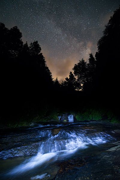
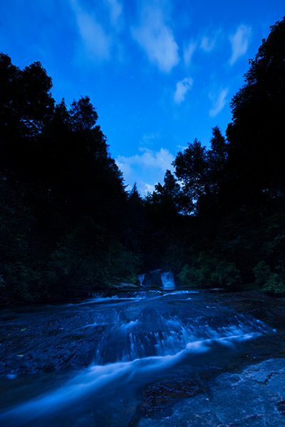
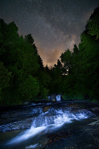
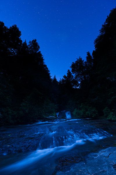
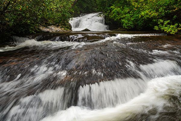
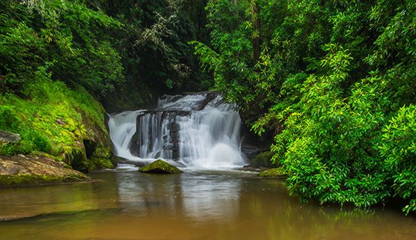
East Fork Falls
!
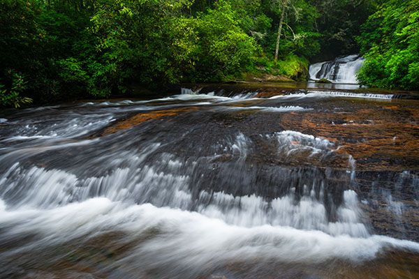
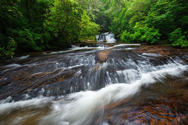
East Fork Falls is not very high, but it makes up for it with beauty and easy access. Headwaters State Forest, in which Reese Place Falls is located, is one of the state’s newer public lands, opening in 2018.
(044B-109343V2)
Driving Directions
Open driving directions in map appFrom the Rosman area, turn off US 64 onto US 178. Drive south 1.6 miles (passing through Rosman) and turn left on East Fork Road (SR 1107). Drive 3.7 miles and turn right to remain on East Fork Road. Drive 2.6 miles and park at the wide pullout on the right.
From the Connestee Falls area, turn off US 276 onto East Fork Road and drive 5.7 miles to the wide pullout on the left.
Hiking Directions
Quick Glance
An obvious path leads to the falls.
Detailed Look
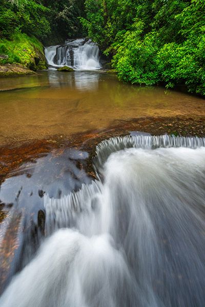
For a full, open view of the waterfall, you’ll need to get out in the river. For a good view of the nice set of cascades below the pool, you’ll need to cross the river, which will likely require wading.
| Accessibility: | Hiking trail |
| County: | Transylvania |
| River Basin: | French Broad |
| Watercourse: | East Fork French Broad River |
| Watershed: | Small/medium |
| Type and Height: | Cascade about 12 feet high Height estimated. |
| Landowner: | Headwaters State Forest |
| Beauty Rating: | 6 |
| Elevation: | 2360 feet |
| USGS Map: | Table Rock SC/NC |
| Hike Difficulty: | Moderate |
| Hike Distance: | Less than 100 yards |
| Waterfall GPS: | 35.11391, -82.74819 |
| Trailhead GPS: | 35.11372, -82.74776 |
Photo Gallery
Click a photo to enlarge.