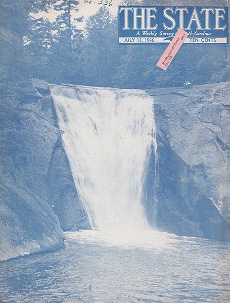
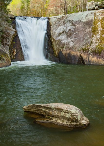
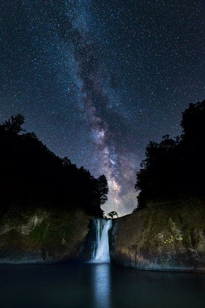
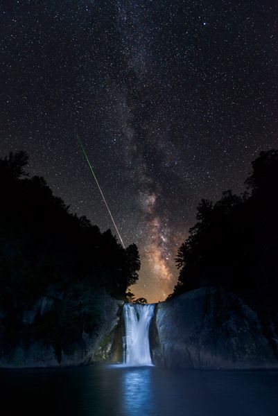
Elk Falls
Elk River FallsBig Falls (Elk River)
!
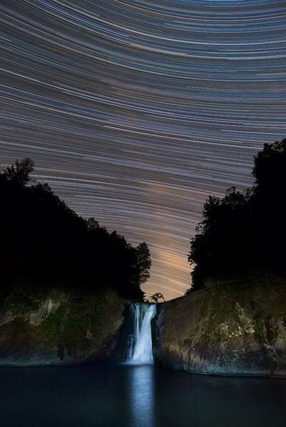
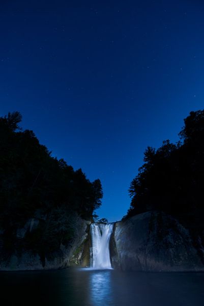
For beauty and ease of access, this is about as good as it gets. Elk River plunges over a wide crevice on large, exposed rockface into a huge, deep pool. On the downstream end of the pool is a gently sloping rock you can walk out on for an excellent view. On hot summer days, expect the company of people sunning on the rock and swimming in the pool. You might also witness daredevils jumping from the top into the pool.
Elk Falls. (033A-118405)
Driving Directions
Open driving directions in map appFrom the junction of NC 194 and US 19E, drive 0.7 miles west on US 19E to “downtown” Elk Park and turn right, then immediately left on Old Mill Road (SR 1303). Follow this road 0.35 miles to Elk River Road, on the right. (From here, Old Mill Road loops back to US 19E if you go straight.) Drive 4 miles on Elk River Road to the parking area beside the river. The road changes to gravel at 3.9 miles, where it enters the national forest.
Hiking Directions
Quick Glance
Follow the trail to the base of the falls.
Detailed Look
From the parking area, you can look downstream and see the brink of the falls. An obvious hiking trail climbs the bank and reaches the top of the falls at just over 0.1 miles. The trail then continues down a series of steps to the base.
| Accessibility: | Hiking trail |
| County: | Avery |
| River Basin: | Watauga |
| Watercourse: | Elk River |
| Watershed: | Medium/large |
| Type and Height: | Near-vertical drop of about 40 feet Height measured with rangefinder. |
| Landowner: | Pisgah NF, Appalachian RD |
| Beauty Rating: | 8 |
| Elevation: | 2740 feet |
| USGS Map: | Elk Park NC/TN |
| Hike Difficulty: | Easy/moderate |
| Hike Distance: | 300 yards |
| Waterfall GPS: | 36.199194, -81.969082 Reading from rock ledge at downstream end of pool. |
| Trailhead GPS: | 36.19734, -84.9701 |
Photo Gallery
Click a photo to enlarge.
Historical Gallery
Click a photo to enlarge.