Endor Falls
!
Endor Falls is a small rapid on Deep River. What it lacks in size it makes up for in rich history and beautiful scenery. Unlike most waterfall sites on Deep River, you feel a sense of isolation at Endor, even though you’ll likely hear the train passing close by if you spend much time there.
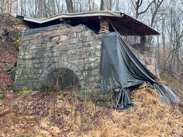
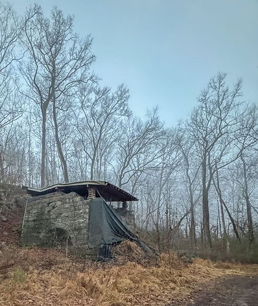
A nice aspect of Endor Falls is that the trailhead is located at Endor Iron Furnace State Historic Site.
For information about Deep River in general, including a table listing all the waterfalls on the river, visit the River Basins & Rivers page and click on the Cape Fear River Basin tab.
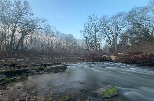
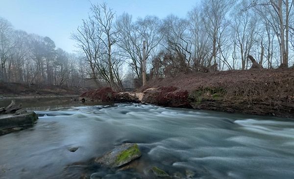
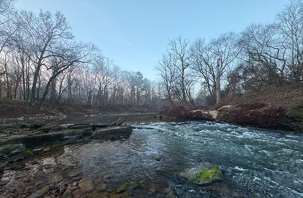
Early morning view of Endor Falls. (027Z-270022)
Driving Directions
Open driving directions in map appThe trailhead is located a few miles northwest of Sanford. Turn off Cotton Road onto Iron Furnace Road (may be unsigned). Drive 0.7 miles to the end of the pavement, then continue 0.2 miles and cross the railroad track. From here you need to continue the gravel road another 0.3 miles. This part is a little rough, so you may want to park and walk.
Hiking Directions
Quick Glance
Follow the river 0.3 miles upstream to the first rapids you see.
Detailed Look
There is no trail leading to the falls, but once you get through the thick growth near the start, you might pick up semblances of fisher paths. It’s mostly easy going as bushwhacks go.
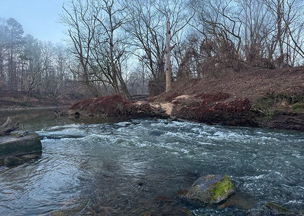
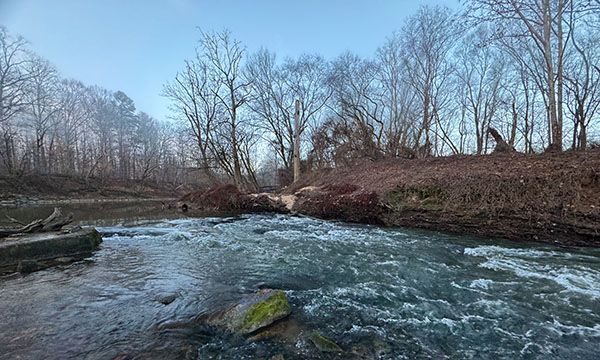
If the water is not very high, you shouldn’t have any trouble knowing when you get there. It’s first real rapids you come to, and there’s a large area of mossy rocks extending from the river-right side into the river and constricting the flow to a narrow channel on the river-left side. If the water is high, I don’t recommend going as the rapid and all those cool rocks will be submerged.
| Accessibility: | Class I bushwhack |
| County: | Chatham, Lee |
| River Basin: | Cape Fear |
| Watercourse: | Deep River |
| Watershed: | Large |
| Type and Height: | River rapid |
| Landowner: | State of North Carolina The state owns land on the river-right side. The river-left side is private. |
| Experience Rating: | Good |
| Elevation: | — |
| USGS Map: | Colon |
| Hike Difficulty: | Moderate Class I bushwhack |
| Hike Distance: | About 0.3 miles |
| Waterfall GPS: | 35.551108, -79.223132 |
| Trailhead GPS: | 35.553451, -79.21853 |
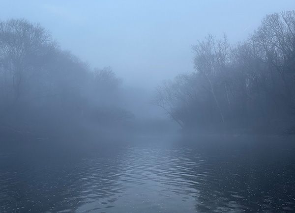
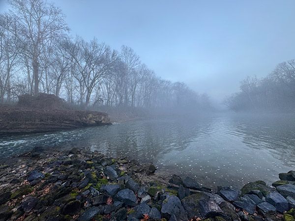
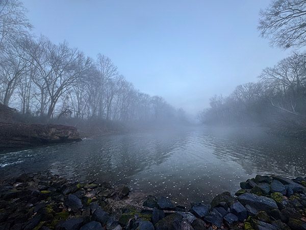
Photo Gallery
Click a photo to enlarge.