Fontana Dam
!
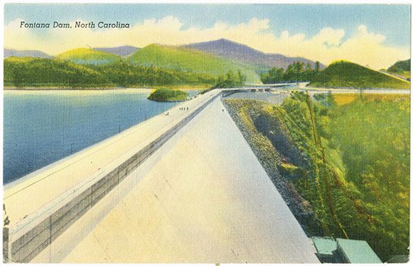
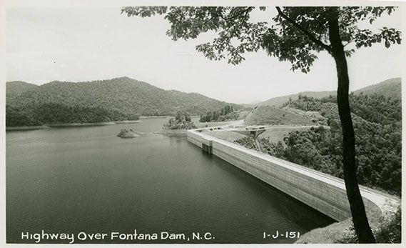
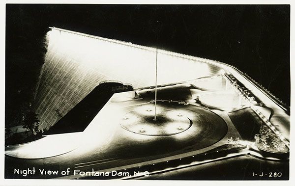
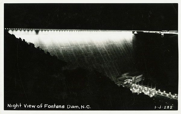
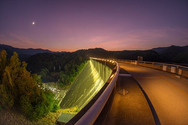
Whether or not you think dams are waterfalls, Fontana Dam is an incredible sight that I highly recommend for everyone. You can drive or walk across the dam for spectacular views—acrophobic ones if you get too close to the railing. The dam’s visitor center, open May through October, provides interpretive materials. Hot showers are available for grubby Appalachian Trail hikers. The trail crosses the dam before beginning its steep climb to the high crests of the Smokies.
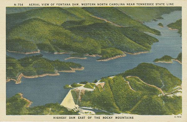
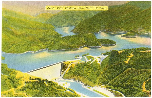
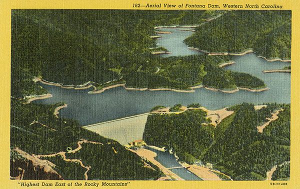
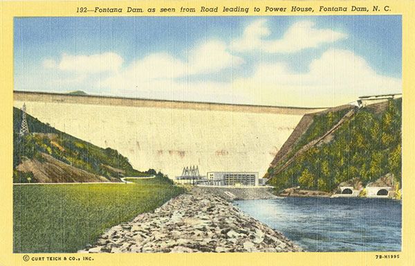
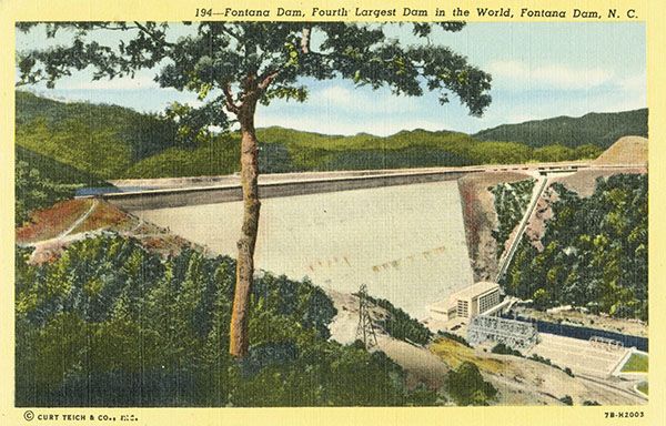
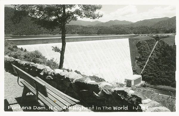
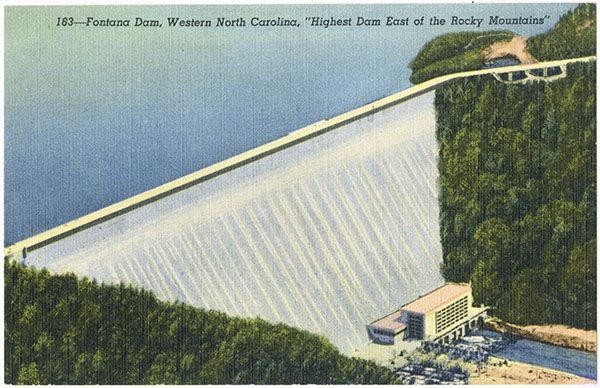
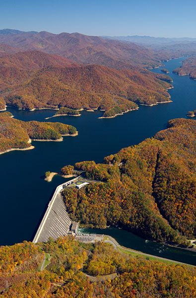
Fontana Dam is a product of the huge demand for electricity to manufacture aluminum to build airplanes during World War II. Crews worked around the clock, completing the dam in only three years. At 480 feet tall, it’s the highest dam in the eastern United States. It stretches 2,365 feet across the gorge.
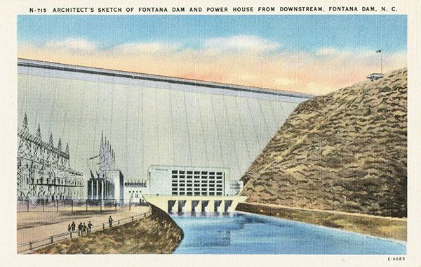
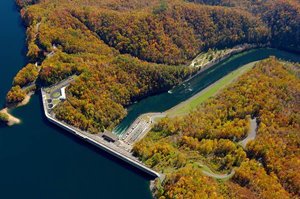
As I’ve stated many times on this site, for me to consider a dam to be an Atypical waterfall, it must have an overflow design so there is visible falling water involved, if only for part of the year. However, Fontana is not a typical overflow dam. When the lake contains more water than needed to generate electricity, excess water flows over two specially designed spillways that are encased in tunnels. The tunnels direct the water away from the dam, discharging it some distance downstream. At the tunnel’s exit, concrete aprons deflect the water into the air so that it doesn’t cause erosion near the base of the dam. The water, traveling at 95 miles an hour, hits these deflectors and shoots some 150 feet into the air—quite a site.
What makes Fontana an Atypical waterfall is the fact that you can see the water entering the spillways at the top of the dam. In fact, it’s a primary feature of the sightseeing experience at Fontana. You walk right up to the edge of the tunnels and peer over. In winter, the lake is drawn down some 50 feet for flood control, so probably the only time you’ll see water in the spillways is during summer.
A great read on the history of Fontana Dam and the entire region affected by Fontana Lake is Lance Holland’s Fontana, A Pocket History of Appalachia, published in 2001.198
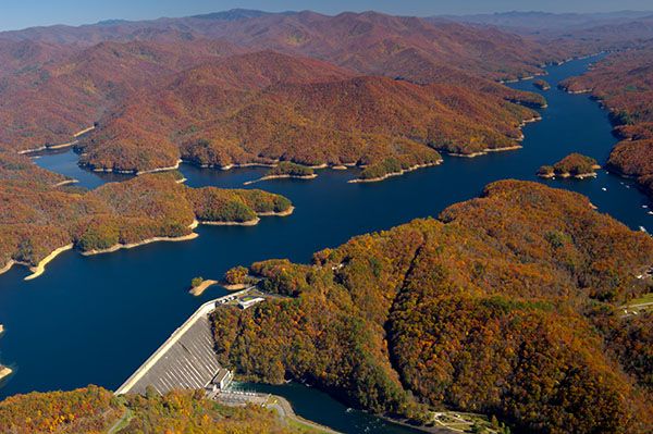
Aerial view of Fontana Dam and Fontana Lake. (089Z12-09520R)
Driving Directions
Open driving directions in map appIf you’re coming from US 19/NC 28, drive 21.4 miles on NC 28 to the stop sign and turn right on Fontana Dam Road. Drive to the road’s end at the dam.
To view the dam from the bottom, turn left at the stop sign and drive about 2.9 miles to the bridge over Little Tennessee River. Turn right just past the bridge and drive 1.0 miles to the dam.
Hiking Directions
Quick Glance
Get out of the car and look around.
Detailed Look
Walk over to the spillways, go inside the visitor center, walk across the top of the dam.
| Accessibility: | Paved path |
| County: | Graham |
| River Basin: | Little Tennessee |
| Watercourse: | Little Tennessee River |
| Watershed: | Large |
| Type and Height: | Big, huge, monster dam, 480 feet high |
| Landowner: | Tennessee Valley Authority |
| Experience Rating: | Superb |
| Elevation: | 1700 feet Full lake level is approximately 1700 feet |
| USGS Map: | Fontana Dam |
| Hike Difficulty: | View roadside |
| Hike Distance: | — |
| Waterfall GPS: | 35.45246, -83.80511 Reading is from center of Dam. |
| Parking GPS: | 35.45158, -83.80174 |
Photo Gallery
Click a photo to enlarge.

Historical Gallery
Click a photo to enlarge.