
Small Dam
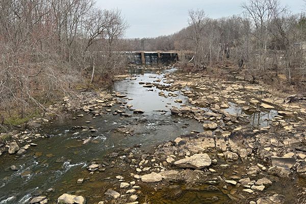
Franklinville dam
Caution: Danger, Will Robinson!
Waterfallson this site and counting
!
The dam is plainly visible from the Andrew Hunter Road Bridge, but I’m not sure it’s worth walking out on the bridge to view it and the only way to see it up close without trespassing is from the water.
For information about Deep River in general, including a table listing all the waterfalls on the river, visit the River Basins & Rivers page and click on the Cape Fear River Basin tab.
(027Q-260999)
SHOW MORE
Driving Directions
The Andrew Hunter Road Road Bridge over Deep River is located in Franklinville, about 1.5 miles from US 64.
Hiking Directions
Quick Glance
Find a safe place to pull off the road, walk out on the bridge, and look 450 feet upstream.
Detailed Look
I don’t know what to add to the quick glance.
| Accessibility: | — |
| County: | Randolph |
| River Basin: | Cape Fear |
| Watercourse: | Deep River |
| Watershed: | Large |
| Type and Height: | 20-foot dam. Height measured with rangefinder. |
| Landowner: | Private |
| Experience Rating: | Meh |
| Elevation: | — |
| USGS Map: | Ramseur |
| Hike Difficulty: | Easy |
| Hike Distance: | — |
| Waterfall GPS: | 35.7434, -79.70302 |
| Parking GPS: | 35.742674, GPS reading is for the view from bridge, but you should not park on the bridge. |