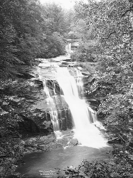
Glencannon Falls
Glen Cannon Falls
!
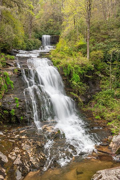
Glencannon Falls, a few miles east of Brevard, is on private property and is inaccessible to the public, but its location within the community of Glen Cannon and its inclusion on the USGS Brevard top map makes it well known. It was also included in Jim Bob Tinsley’s The Land of Waterrfalls.
The waterfall has an upper drop of 22 feet, with an 8-foot drop below that, followed by a couple hundred feet of little cascades, and culminating in a 45-foot lower drop.
As late as the mid-2000s, you could see the lower drop fairly well from the main road in the Glen Cannon community, looking out over the golf course. Since the course has closed, trees have grown up blocking the view.
The waterfall was in danger of being exploited by a property developer, but thankfully a group of Glen Cannon property owners formed a group and purchased the falls before that happened.
Most references to the waterfall and all for the community and golf course use the spelling Glen Cannon, two words. However, the official U.S. Board on Geographic Names spelling for the waterfall is Glencannon, so that’s what I’m using here.
(021H-213005)
| Accessibility: | — |
| County: | Transylvania |
| River Basin: | French Broad |
| Watercourse: | Williamson Creek |
| Watershed: | — |
| Type and Height: | — |
| Landowner: | Private |
| Beauty Rating: | — |
| Elevation: | — |
| USGS Map: | Brevard NC/SC |
| Hike Difficulty: | — |
| Hike Distance: | — |
| Waterfall GPS: | 35.226802, -82.695224 |
| Parking GPS: | — |
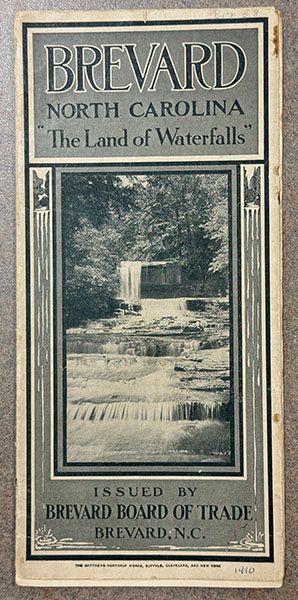
Historical Gallery
Click a photo to enlarge.