Graybeard Falls
!
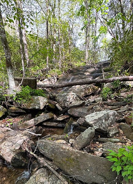
What Graybeard Falls lacks in scenic appeal, it makes up in spades with historical relevance. The waterfall was a popular stop for travelers along Mount Mitchell Railroad in the early 1900s. Click on See More to learn all about it.
Graybeard Trail, which leads to the falls, is part of Montreat Wilderness, a system of more than 20 trails totaling over 40 miles managed by Montreat Conference Center. The Wilderness is protected by a conservation easement. Trails are open to the public. The conference center states this is a “hike at your own risk facility.”
Open the Montreat Wilderness trail map from Montreat Conference Center.
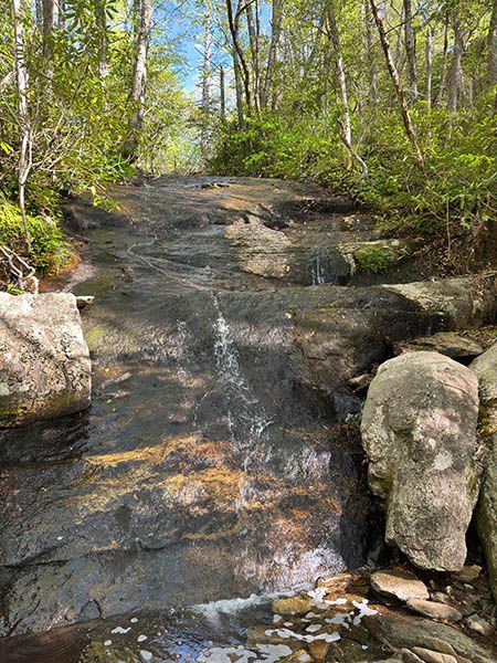
Graybeard Falls. (036E-270378)
Driving Directions
Open driving directions in map appThe northern trailhead on Blue Ridge Parkway is at approximately MP 254.75, which is near the turnoff to Mount Mitchell.
To reach the southern trailhead, drive NC 9 into Montreat. Just beyond Assembly Inn (on the left) and Lake Susan (on the right), bear left on Greybeard Trail [sic] and follow it 0.8 miles to the trailhead, on the right. There is very limited parking here, so get here early, especially on weekends. The blue-blazed Graybeard Trail begins at the kiosk and crosses Flat Creek on a footbridge.
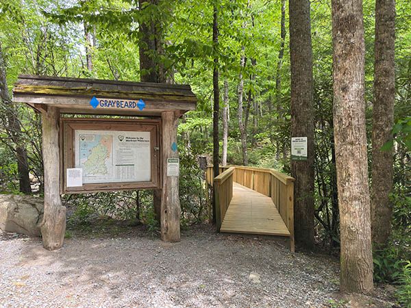
Southern trailhead in Montreat. (270397)
Hiking Directions
Open the Montreat Wilderness trail map from Montreat Conference Center.
Quick Glance
From Montreat, Graybeard Trail leads to a T-junction. Turn right and walk 200 feet to the falls.
From Blue Ridge Parkway, hike Old Mitchell Motor Road Trail about 3.8 miles and turn right on Old Trestle Road Trail. Cross Flat Creek in about a quarter mile, turn left on Graybeard Trail, and hike about 0.7 miles to the falls.
Detailed Look
Montreat trailhead: I haven’t hiked this way in several years and don’t remember much about it. I do know the trail is well signed and blazed. When you get near the falls, you’ll come to a T-junction, where you’ll need to turn right and follow a short spur about 200 feet to the falls.
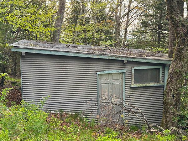
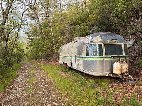
Blue Ridge Parkway trailhead: From the gate, hike the old railroad/motor grade. This section is very rocky in places. You’ll pass by an old hunter’s shack and an abandoned Airstream Argosy camper.
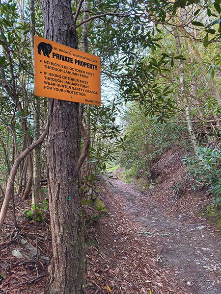
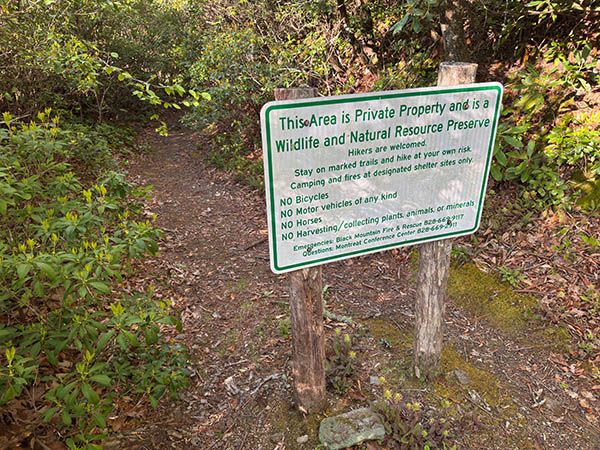
In about 3.8 miles you’ll come to a path veering right with a sign stating you are entering a private wildlife and nature preserve. From this point to the falls you’ll be on Montreat Conference Center property.
In about a quarter mile you’ll cross Flat Creek. Just after crossing you’ll meet Graybeard Trail. Turn left and follow the old railroad grade approximately 0.6 miles, using a long switchback to bring you back to Flat Creek. Graybeard Trail turns right just before the falls. Continue straight at this point and follow the level grade about 200 feet to the waterfall.
Scenes along the northern access to Graybeard Falls.
Other Hiking Options
If you hike from Montreat you may be wondering about connecting to Old Mitchell Motor Road Trail and using it to make a loop hike. If you cross the creek below the falls you’ll notice an overgrown old grade (railroad?) following the contour. Well, that’s promising.
Unfortunately, the grade extends only as far as the broad ridge line. Maybe it does go farther and connect with the old motor road, but I couldn’t find any sign of it beyond the ridge. But why would they go to the expense of building a trestle over the creek and a short section of road or railroad that leads to nowhere?
So, if you want to do the loop hike, you’re gonna have to bushwhack. If you do so, I suspect it will be easier to follow the ridge down to Pot Cove Gap rather than dropping off the ridge to connect with the old motor road.
| Accessibility: | Hiking trail |
| County: | Buncombe |
| River Basin: | French Broad |
| Watercourse: | Flat Creek (Tributary of Swannanoa River) |
| Watershed: | Very small |
| Type and Height: | 21-foot slide on small stream |
| Landowner: | Montreat Conference Center |
| Beauty Rating: | 2 It looks better after a good rain. |
| Elevation: | 4320 feet |
| USGS Map: | Montreat |
| Hike Difficulty: | Moderate |
| Hike Distance: | Approx. 4.7 miles from BRP and 2.8 from Montreat. |
| Waterfall GPS: | 35.67503, -82.285082 |
| Trailhead GPS 1 & 2: | 35.712056, -82.274863 This is for the trailhead at Blue Ridge Parkway. This is for the trailhead in Montreat. |
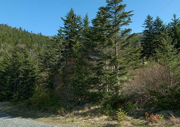
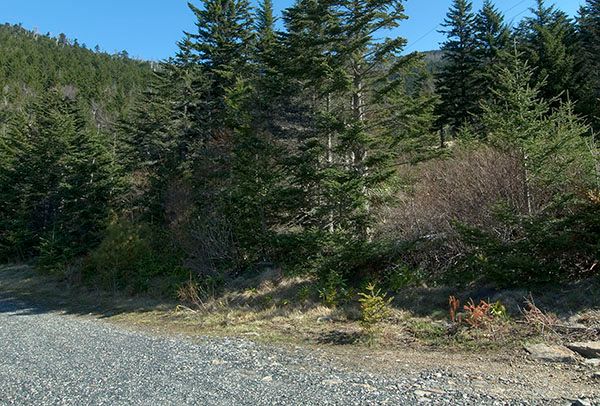
Then & Now