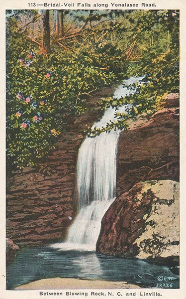
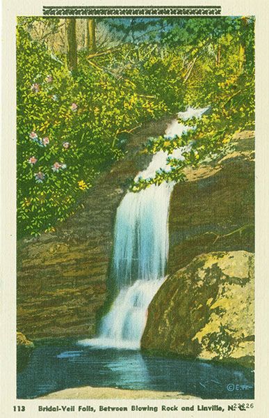
Green Mountain Falls
!
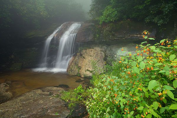
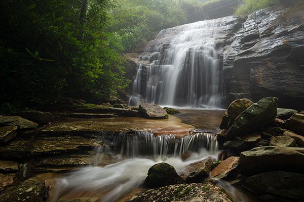
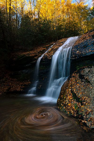
Among North Carolina’s most viewed waterfalls since 1892 when the precursor to US 221 was built—literally splitting it in half—Green Mountain Falls is nevertheless underappreciated, perhaps in part because of its roadside location. People tend to take for granted that which comes so easily and a waterfall you can see clearly while you drive by is a good example. But for those who take the take to pull over and explore it closely, Green Mountain Falls is a special treat. It won’t make anyone’s Top 10 list, but it’s worth more than a drive-by glance. You need to catch it with a good flow for it to look its best, though. Come here when it’s running low and you probably won’t be too impressed.
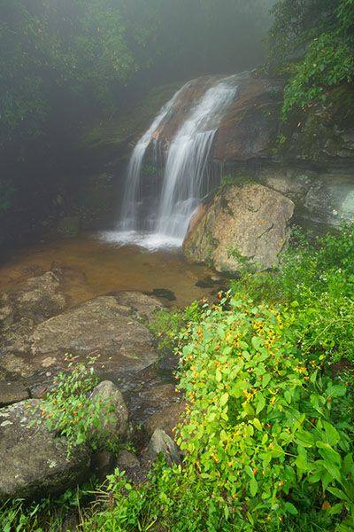
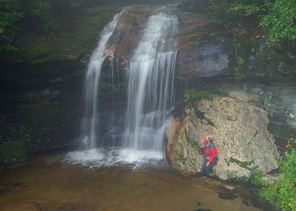
There are two sections to the waterfall, one above the road and one below, each about the same height and each about equal in beauty in my opinion. To get a good view of the lower falls, you must scramble down the bank.
This is the part of the waterfall above the road. (039Z20-168870)
Driving Directions
Open driving directions in map appFrom the junction of US 221 and Blue Ridge Parkway, near the entrance to Grandfather Mountain, drive north on US 221 for 7.3 miles to the falls. This is 1.8 miles south of Holloway Mountain Road.
Hiking Directions
Seeing the lower section from the base requires a somewhat difficult climb down the bank. The easiest route might be to swing a little wide on the river-right side and come out a little bit below the falls.
| Accessibility: | Roadside view |
| County: | Caldwell, Watauga As best as I can determine, the majority, if not all, of the falls is in Watauga County, but part of the upper section may be in Caldwell County. |
| River Basin: | Catawba |
| Watercourse: | Green Mountain Creek |
| Watershed: | Small |
| Type and Height: | Sliding and freefalling falls, dropping 58 feet in two sections |
| Landowner: | Blue Ridge Parkway It’s on BRP property as best as I can determine. |
| Beauty Rating: | 4 |
| Elevation: | 3880 feet |
| USGS Map: | Grandfather Mountain |
| Hike Difficulty: | View roadside |
| Hike Distance: | — |
| Waterfall GPS: | 36.114116, -81.778436 |
| Parking GPS: | 36.114116, -81.778436 |
Photo Gallery
Click a photo to enlarge.
Historical Gallery
Click a photo to enlarge.