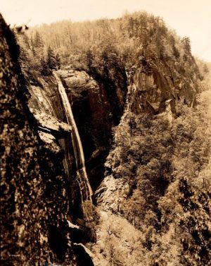
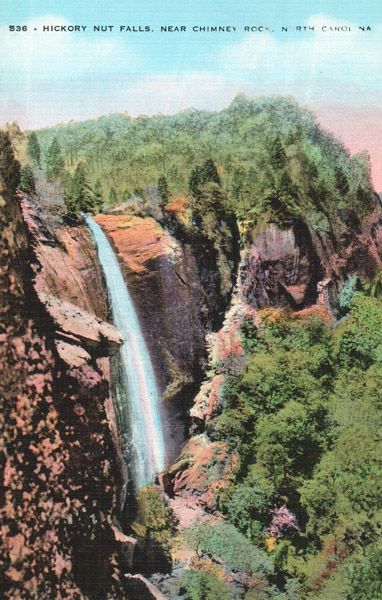
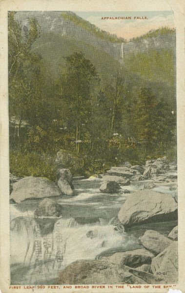
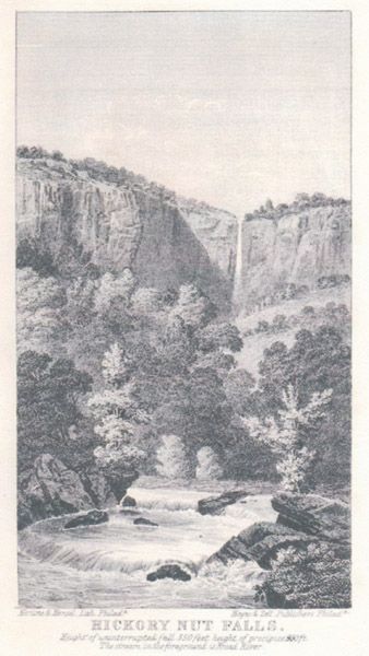
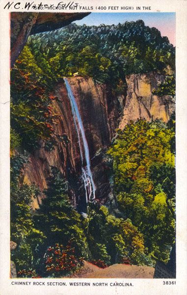
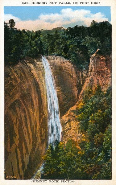
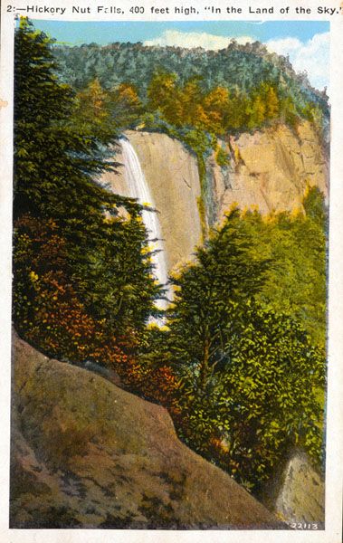
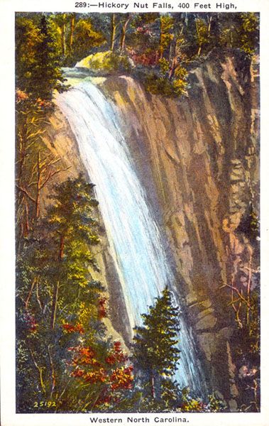
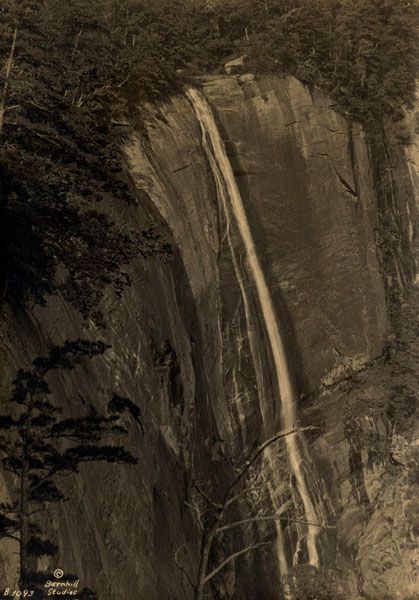
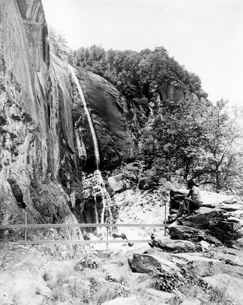
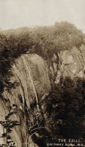
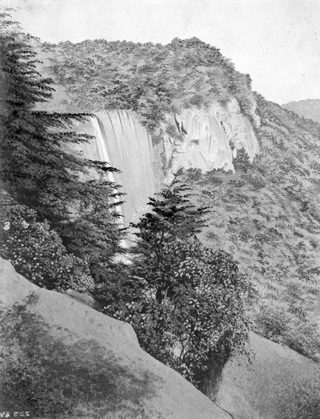
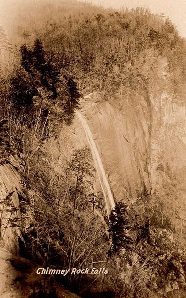
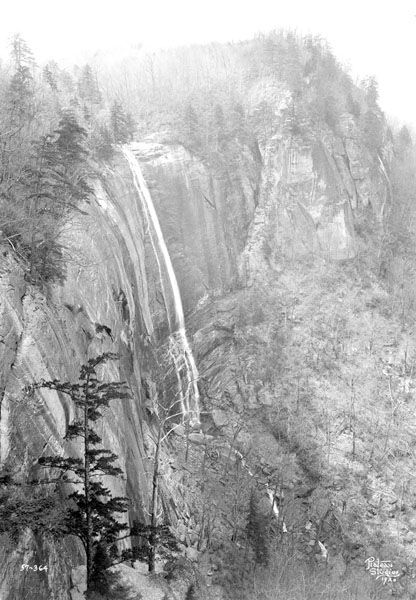
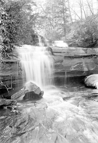
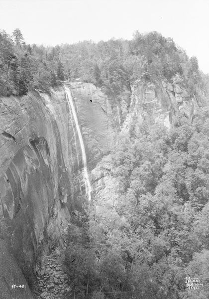
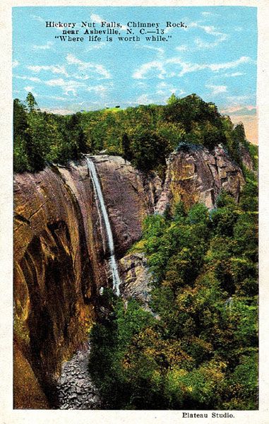
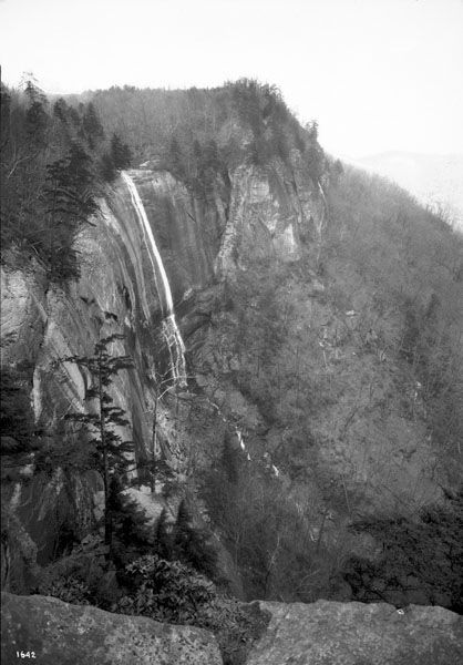
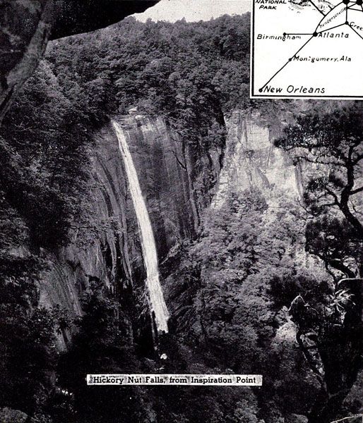
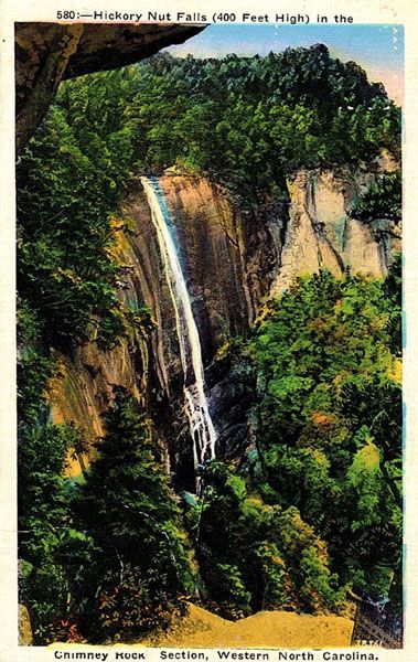
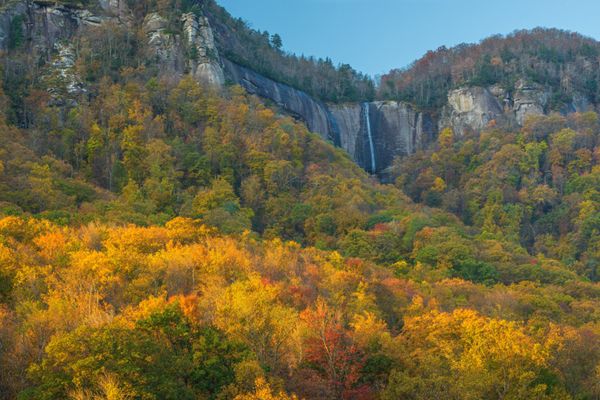
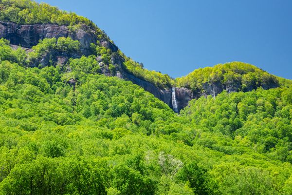
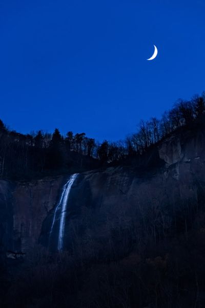
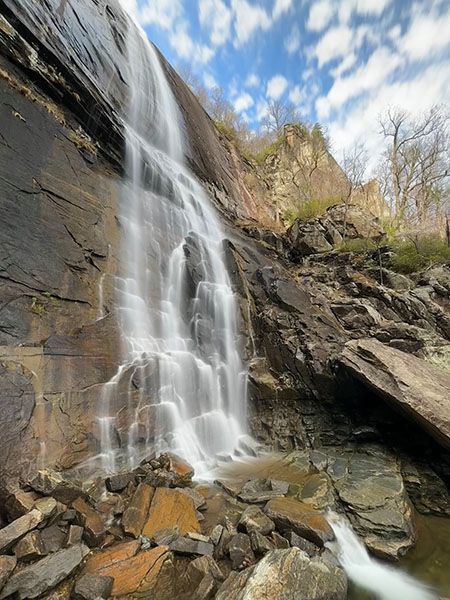
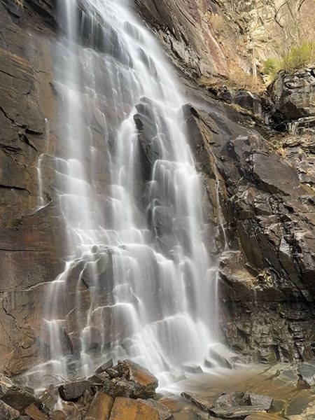
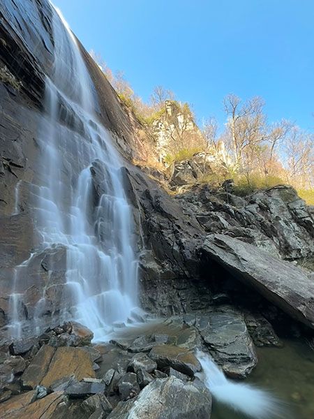
Hickory Nut Falls
!
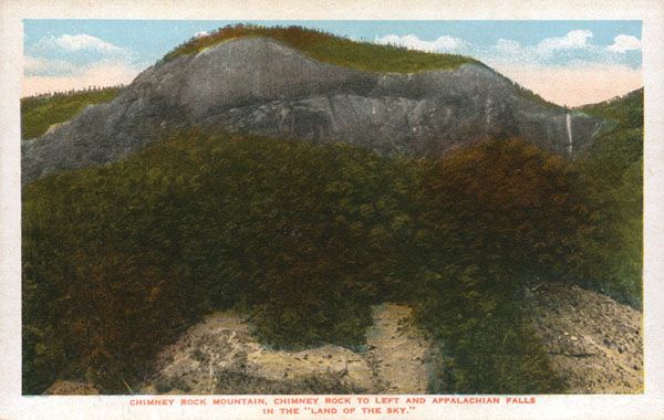
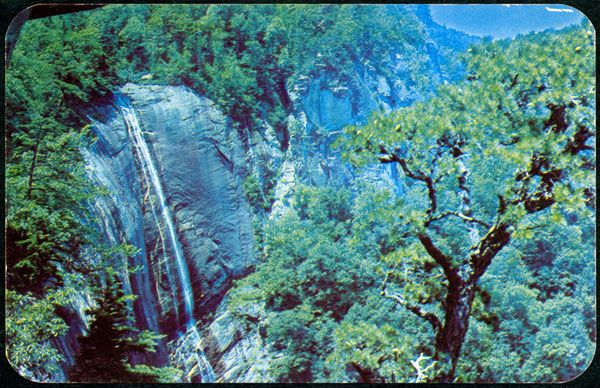
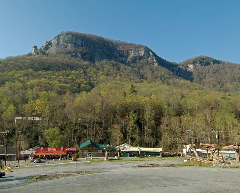
For over a century, Chimney Rock Park was among the greatest tourist attractions in the southern Appalachians, and for good reason. I know of no other place that packed as much geology, biology, and aesthetic attributes into such a small area. The main attraction, then as now, is the towering Chimney Rock, clearly visible to travelers passing through Hickory Nut Gorge on US 64.
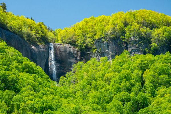
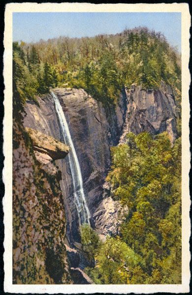
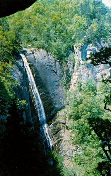
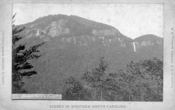
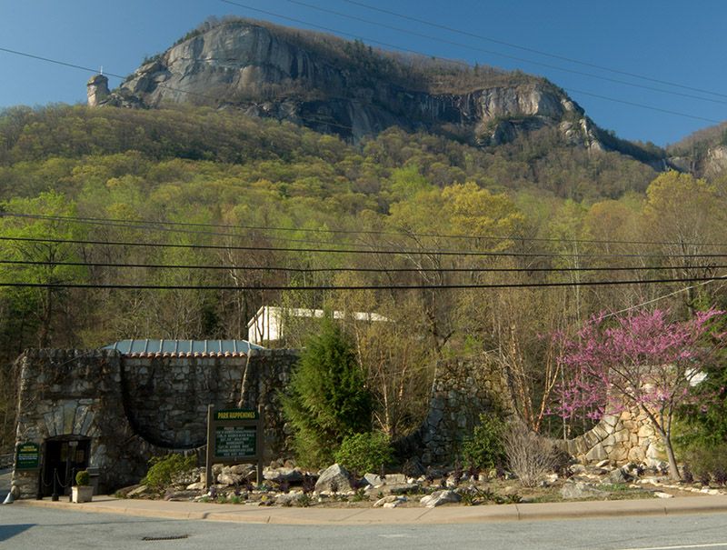
Hickory Nut Falls viewed from Chimney Rock Village. (057A-145767)
Driving Directions
Open driving directions in map appThe entrance to Chimney Rock State Park is off US 64/74A in the heart of Hickory Nut Gorge at Chimney Rock Village. You can’t miss it. Drive the entrance road to the top and park in the large gravel lot on the left just before the road ends. An admission fee is charged.
You’ll pass by the trailhead of Hickory Nut Falls Trail right before you reach the large parking lot. It begins at the sharp left-hand switchback of the road and is well signed.
Hiking Directions
Quick Glance
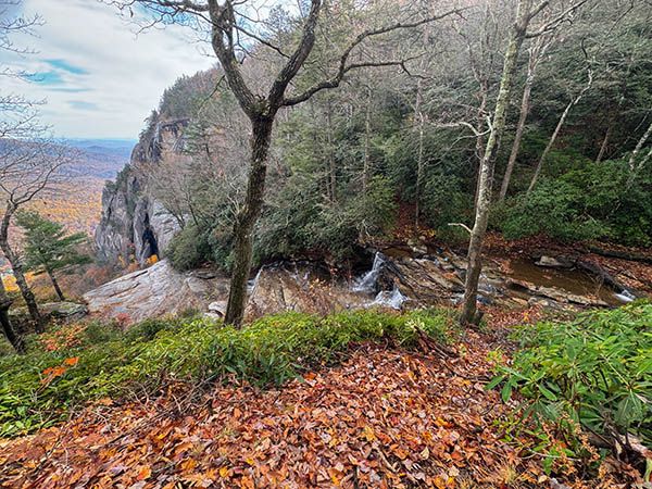
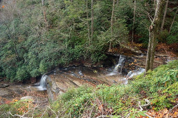
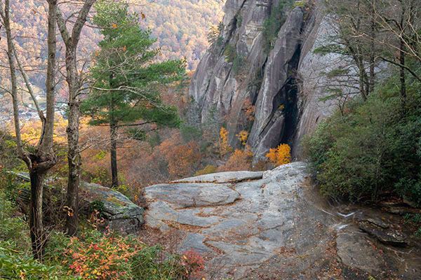
Follow Hickory Nut Falls Trail to the base of the falls.
Detailed Look
Follow Hickory Nut Falls Trail to the base of the falls.
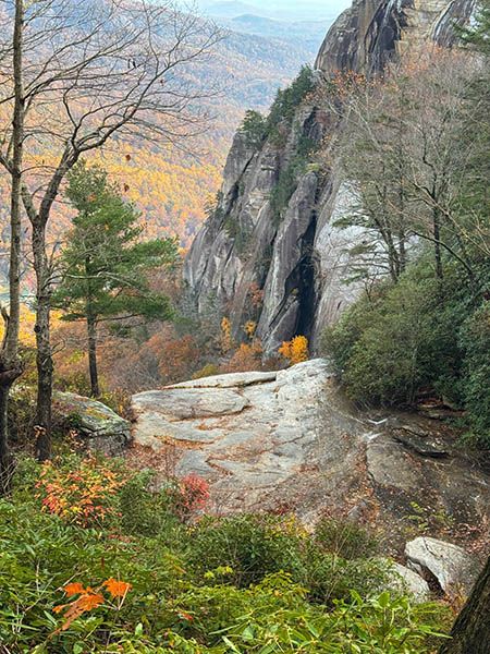
To reach the top of the falls, take the Skyline Trail, which is about 1.1 miles long and doesn't provide a good view of the falls at the end. The first part of the trail is mostly steps—I counted 376 of them—that ascend to Exclamation Point and one of the finest views in the park.
Exclamation point is highly recommended. The remainder of Skyline Trail is a nice woodland walk, but it's a big letdown for those who remember hiking the original Skyline and Cliff Trails.
| Accessibility: | Hiking trail |
| County: | Rutherford |
| River Basin: | Broad |
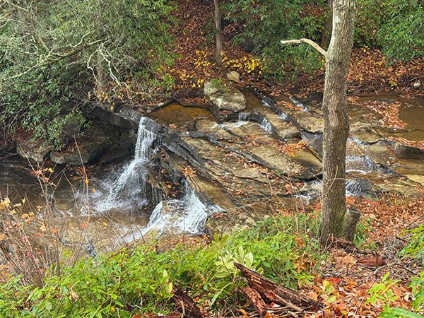
| Watercourse: | Fall Creek |
| Watershed: | Very small |
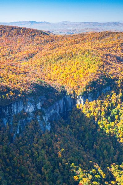
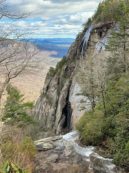
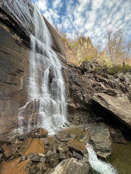
| Type and Height: | Narrow, very steep falls over 350 feet high See the Measuring section for details about the height. |
| Landowner: | Chimney Rock State Park |
| Beauty Rating: | 9 Based on view from base and Chimney Rock Village. |
| Elevation: | 2420 feet |
| USGS Map: | Bat Cave |
| Hike Difficulty: | Moderate Class I bushwhack |
| Hike Distance: | 0.7 miles |
| Waterfall GPS: | 35.43358, -82.25843 |
| Trailhead GPS: | 35.43077, -82.2488 |
Photo Gallery
Click a photo to enlarge.
Then & Now
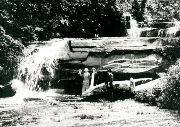
Historical Gallery
Click a photo to enlarge.