Rapid
Howard Falls
Caution: Danger, Will Robinson!
Howards Falls
Waterfallson this site and counting
!
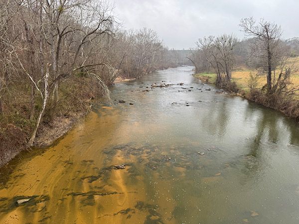
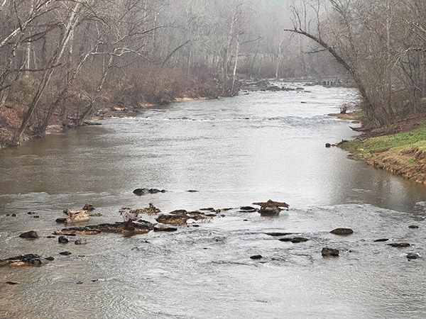
I assume Howard Falls is the rapid below the dam remains you can see from the North Howard Mill Road bridge over Deep River.
Unless you’re paddling the river or working on a checklist of all named waterfalls on it, I recommend skipping this one. The viewpoint from the bridge is unsafe.
For information about Deep River in general, including a table listing all the waterfalls on the river, visit the River Basins & Rivers page and click on the Cape Fear River Basin tab.
(027I-261097)
SHOW MORE
Driving Directions
Open driving directions in map appPlug the GPS coordinates into your phone and let it navigate the backroads for you.
Hiking Directions
Quick Glance
View from bridge.
Detailed Look
It’s not safe walking on bridge. Better to ride in the passenger car of a slow-moving vehicle.
| Accessibility: | — |
| County: | Moore |
| River Basin: | Cape Fear |
| Watercourse: | Deep River |
| Watershed: | Large |
| Type and Height: | River rapid |
| Landowner: | Private |
| Experience Rating: | Meh |
| Elevation: | — |
| USGS Map: | Bennett |
| Hike Difficulty: | View roadside |
| Hike Distance: | — |
| Waterfall GPS: | 35.50116, -79.58213 |
| Parking GPS: | 35.500313, -79.581611 Coordinates are for the view from bridge. Do not park on bridge! |
Photo Gallery
Click a photo to enlarge.