Lanier Falls
!
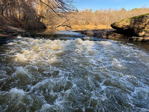
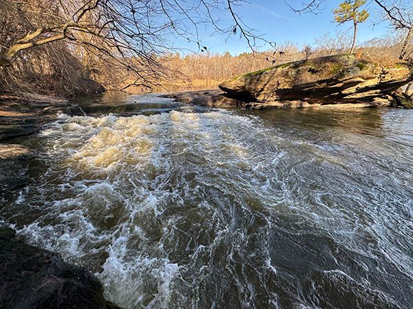
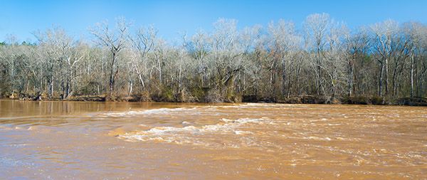
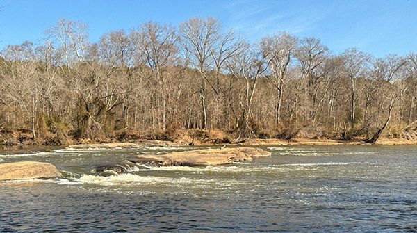
Lanier Falls is the most impressive waterfall on Cape Fear River. But remember, on Cape Fear, “waterfall” means rapid, in this case a Class II. Regardless of how you feel about a rapid having a waterfall name, Lanier Falls is a fine destination, and only one of several in Raven Rock State Park.
The rock outcrop that creates the waterfall extends nearly the entire 475-foot width of the river from the southern, river-right, shore to Buzzard Island, although you can’t tell it’s an island from the river-right side. The outcrop runs at an angle to the river, so the actual width of the falls is some 570 feet.
For information about Cape Fear River in general, including a table listing all the waterfalls on the river, visit the River Basins & Rivers page and click on the Cape Fear River Basin tab.
(014A-259955)
Driving Directions
Open driving directions in map appThe trailhead is at the visitor center for Raven Rock State Park, located at 3009 Raven Rock Road, Lillington, NC.
Hiking Directions
Quick Glance
Hike Campbell Creek Loop Trail to the Lanier Falls spur trail. All trails in the park are well signed and blazed.
Detailed Look
The path comes out right at the falls, but to see it best you’ll need to move around a bit. There are little paths around that you can use to get different views.
| Accessibility: | Hiking trail |
| County: | Harnett |
| River Basin: | Cape Fear |
| Watercourse: | Cape Fear River |
| Watershed: | Amazon |
| Type and Height: | River-wide Class II rapid |
| Landowner: | Raven Rock State Park |
| Experience Rating: | Remarkable |
| Elevation: | — |
| USGS Map: | Mamers |
| Hike Difficulty: | Moderate Class I bushwhack |
| Hike Distance: | About 2.5 miles |
| Waterfall GPS: | 35.478971, -78.930546 |
| Trailhead GPS: | 35.46399, -78.91431 |
Photo Gallery
Click a photo to enlarge.