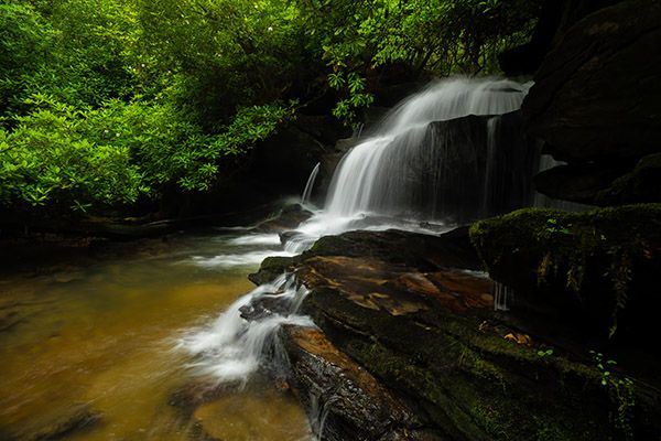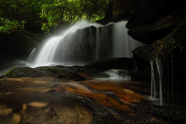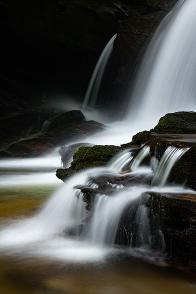
Lemon Falls


!
The phrase “If you didn’t know it was there, you wouldn’t know it was there” could have its origins with Lemon Falls. Right beside the road, but thoroughly hidden by trees and deceptive terrain, it might still be unknown to the waterfalling community were it not for waterfall legend Bernie Boyer’s instincts.
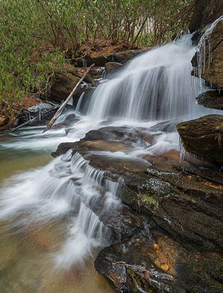
Lemon Falls. (006C-126911)
Driving Directions
Open driving directions in map appFrom US 64 near Rosman, drive north on NC 215 for 6 miles and turn left on Macedonia Church Road (SR 1326). (The road is 11.05 miles south of the Blue Ridge Parkway.) Drive 0.6 miles and park on the left shoulder of the road at the narrow grassy pullout. Lemon Falls is just below the road.
Hiking Directions
Quick Glance
Scramble down one of the paths at the pullout.
Detailed Look
The path nearest the falls, which begins at the widest part of the pullout, is slightly shorter but much harder. Instead, walk a few yards toward NC 215 and take the other path. It’s still challenging, but you won’t have to climb down the rocks.
| Accessibility: | Bank scramble |
| County: | Transylvania |
| River Basin: | French Broad |
| Watercourse: | Lamance Creek |
| Watershed: | Small |
| Type and Height: | Cascading and free-falling falls about 14 feet high Height measured with rangefinder. |
| Landowner: | Pisgah NF, Pisgah RD |
| Beauty Rating: | 6 |
| Elevation: | 2620 feet |
| USGS Map: | Rosman |
| Hike Difficulty: | Difficult |
| Hike Distance: | A few yards It’s a very short scramble down the bank, but it’s steep. |
| Waterfall GPS: | 35.19973, -82.86471 |
| Trailhead GPS: | 35.19991, -82.86433 |
Photo Gallery
Click a photo to enlarge.