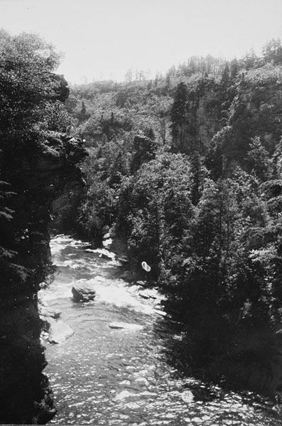
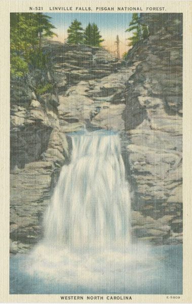
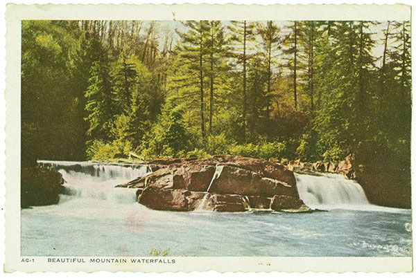
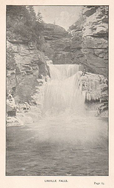
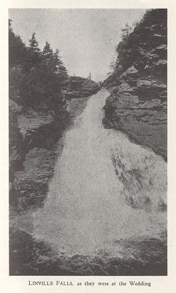
Linville Falls
!
“Somehow Linville Falls runs in our blood.” Tense Franklin Banks
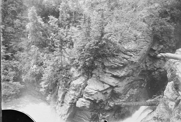
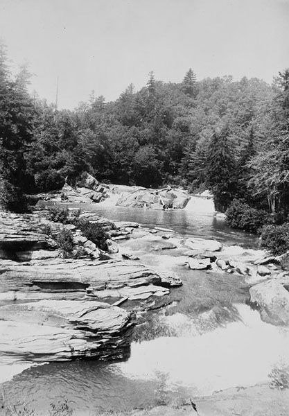
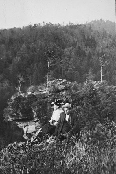
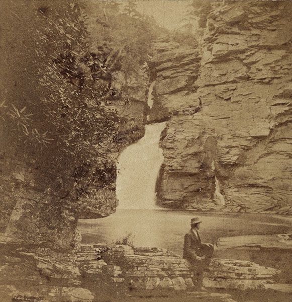
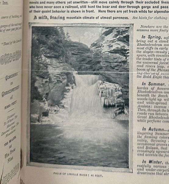
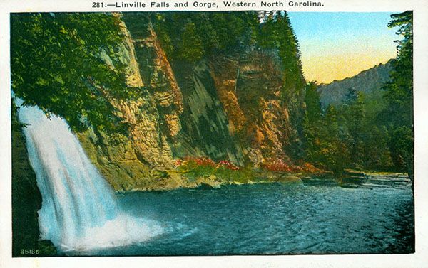
The most storied waterfall in North Carolina, Linville Falls is unparalleled in its combination of beauty, striking geology, deep history, and outstanding recreational opportunities. It has been a favorite subject for artists, writers, poets, photographers, scientists, and romantics since at least the early 1800s. North Carolina doesn’t have an officially designated state waterfall, but if it were to choose one, Linville would be the perfect choice.
I can see how a traveler in the mid-1800s could make the statement, “We have seen Niagara in all its artistic splendor, and we have seen what was called grand scenery, but never, never, have we seen anything to equal the scenery of Linville Falls, nor do we ever expect to see the like again until we revisit them.”194
How about that? A North Carolina waterfall seen as grander than the mighty Niagara!
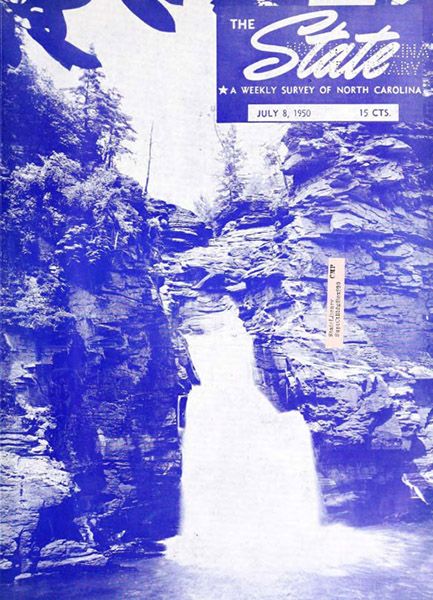
Literature abounds about Linville Falls and Linville Gorge, but it can be a daunting task to assimilate the information from all the different sources. It sure was for me while preparing this page! Here are three highly recommended resources that make it much easier. In addition to these, the Literature section features some juicy historical writings about Linville Falls. The entire books these excerpts come from are worth some quality reading-chair time for anyone interested in Western North Carolina history.
Tense Franklin Banks, The Story of Linville Falls, A Village, A People, A Wilderness (Comin’ Home Publications, 2021). Banks takes an exhaustive, 339-page deep dive into the history of Linville Falls and the Linville Falls community.
Christopher Blake, River of Cliffs: A Linville Gorge History (The History Press, 2017).
Allen T. Hyde, The Linville Gorge and Wilson Creek Hiker’s Guide: An Introduction (self published, 2021). You want the third edition, the one with 308 pages. Hardly an “introduction,” Hyde’s book is detailed exploration of the region’s human and natural history, as well as its hiking opportunities.
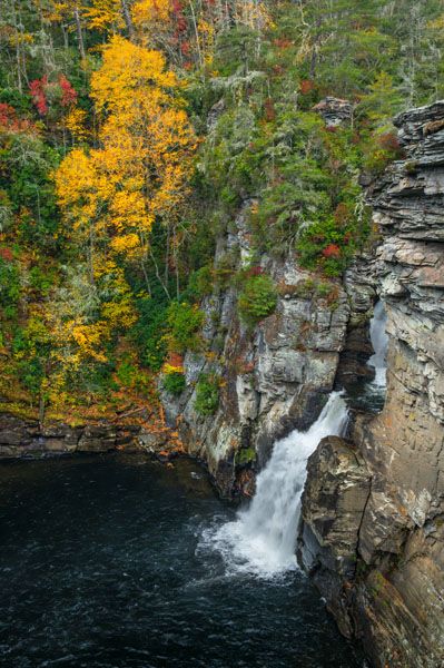
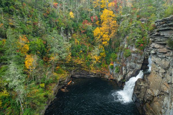
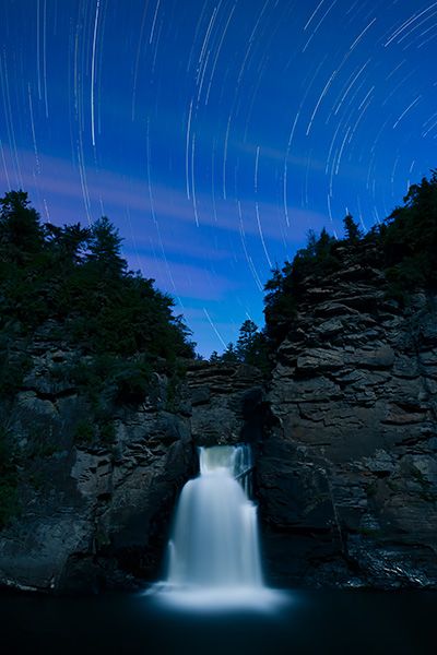
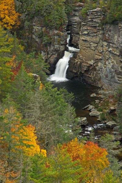
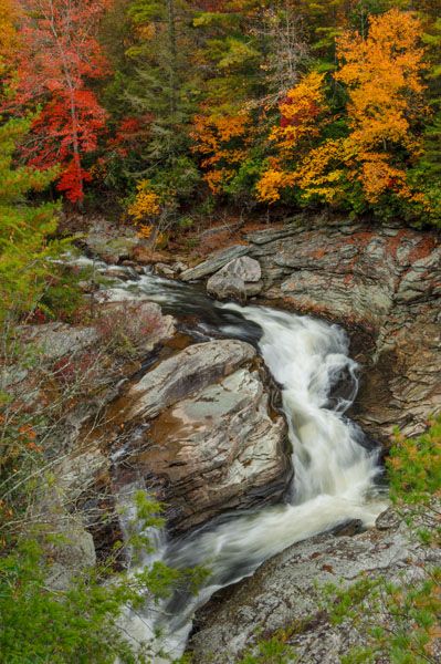
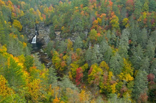
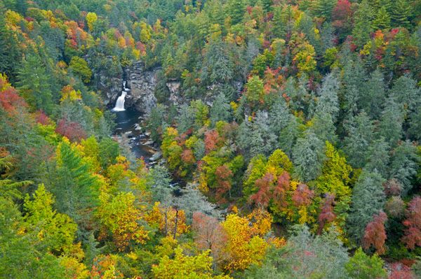
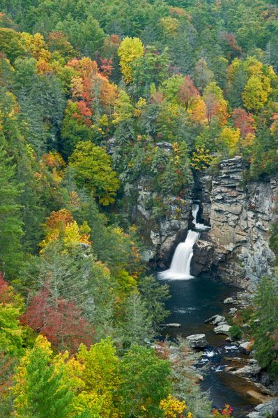
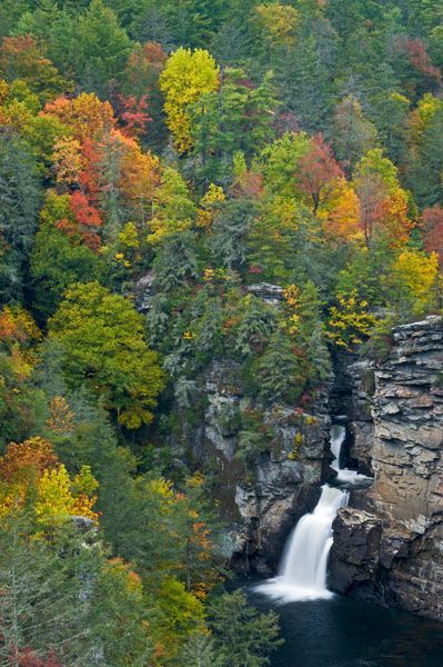
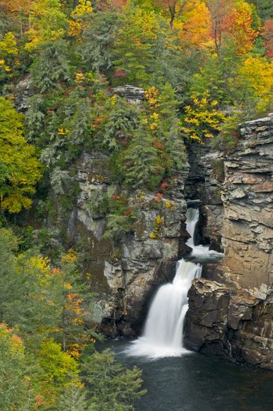
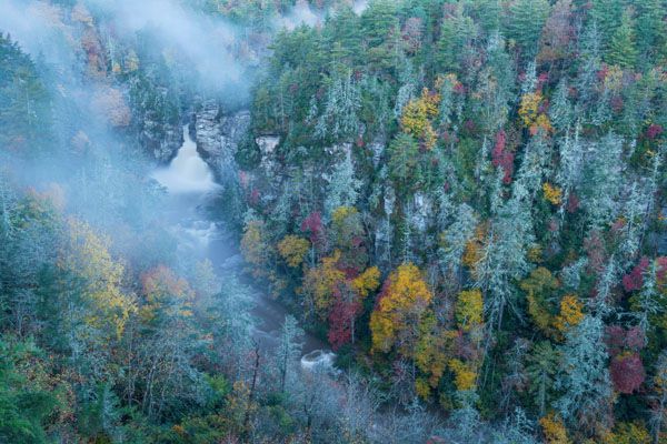
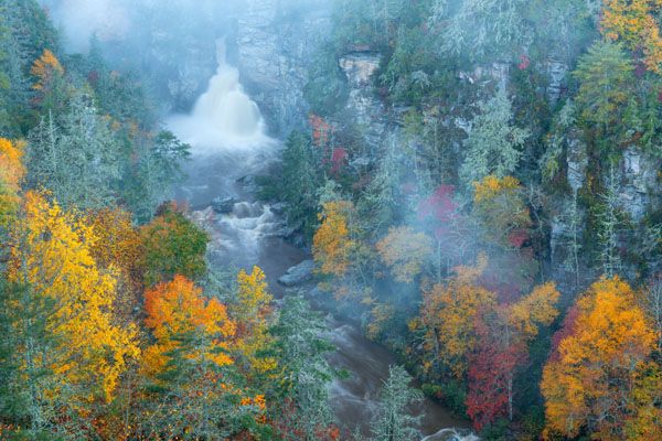
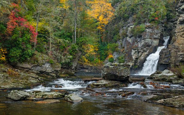
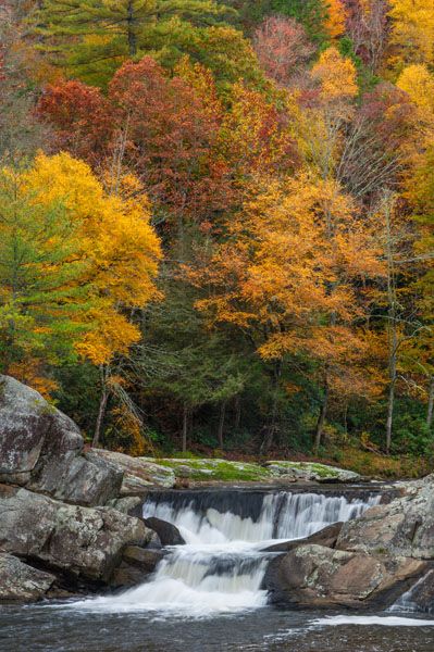
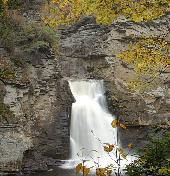
Autumn view of Linville Falls from Plunge Basin Overlook. (064A-201506)
Driving Directions
Open driving directions in map appPisgah National Forest Trailhead
The trailhead is off Kistler Memorial Highway (Old NC 105). Drive 0.7 miles south on US 221 from its junction with Blue Ridge Parkway (Milepost 317.5) and turn left on NC 183. Drive 0.6 miles on NC 183 and veer right onto the gravel Kistler Memorial Highway. It is 0.1 miles to the parking area, on the left.
Blue Ridge Parkway Trailhead
From Milepost 316.5 of Blue Ridge Parkway (1 mile north of the US 221 intersection), turn onto the Linville Falls spur road. The road leads 1.4 miles to a large parking area.
Hiking Directions
Quick Glance
Follow the well-marked trails.
Detailed Look
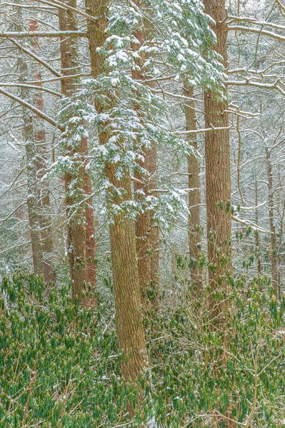
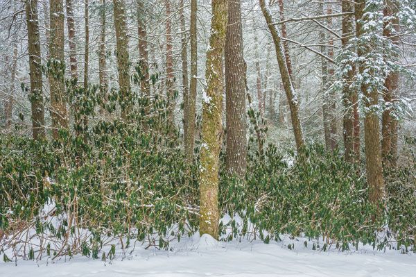
The trails at Linville Falls are well signed and easily followed, so I won’t get into much detail here. Remember, everything on the river-left side is currently closed because of damage from tropical Storm Helene.
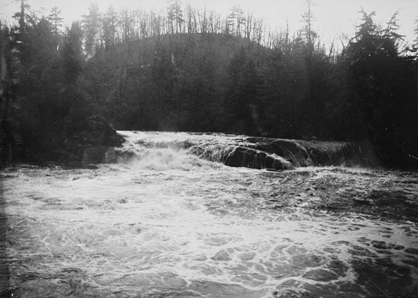
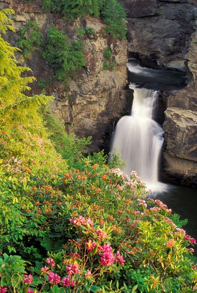
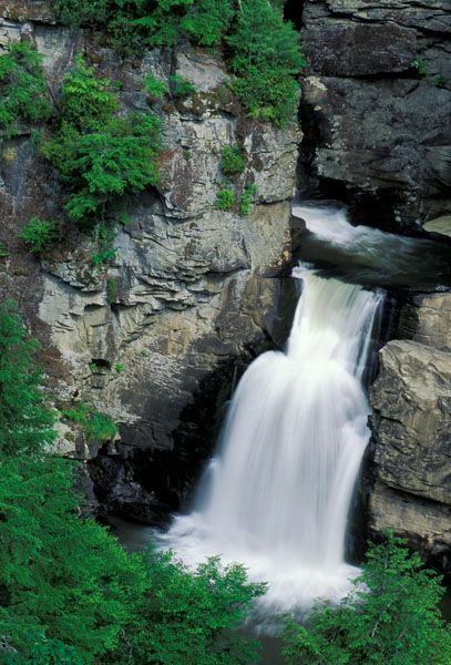
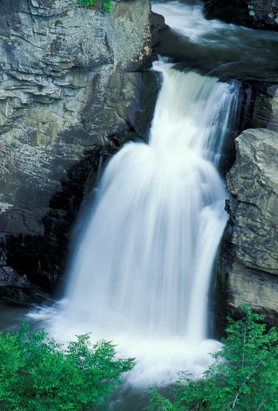
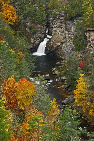
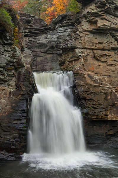
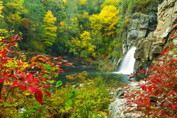
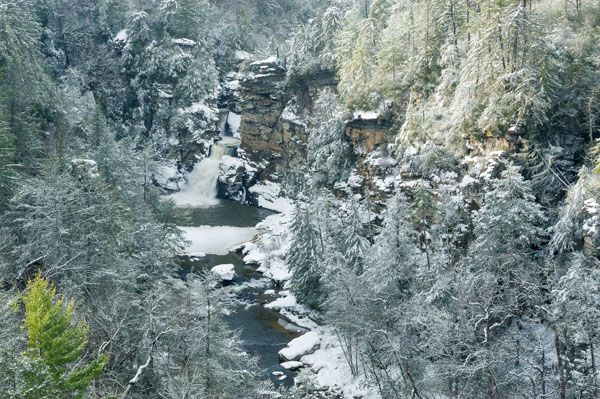
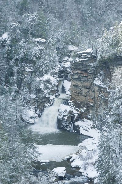
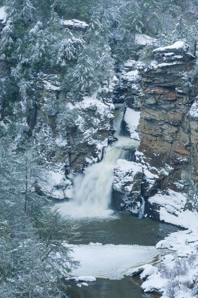
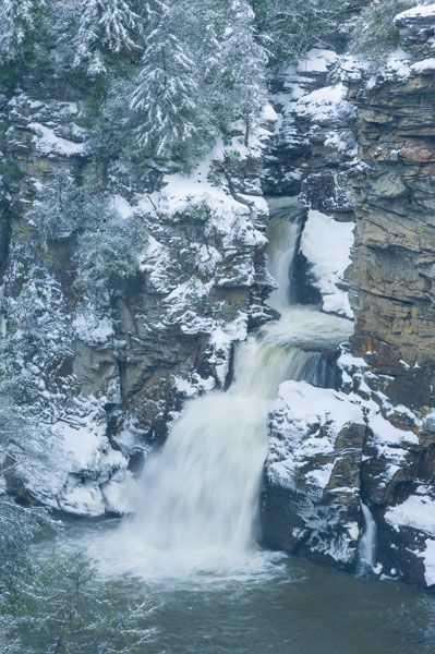
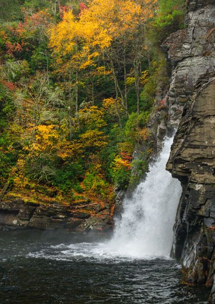
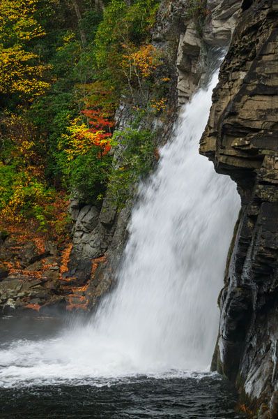
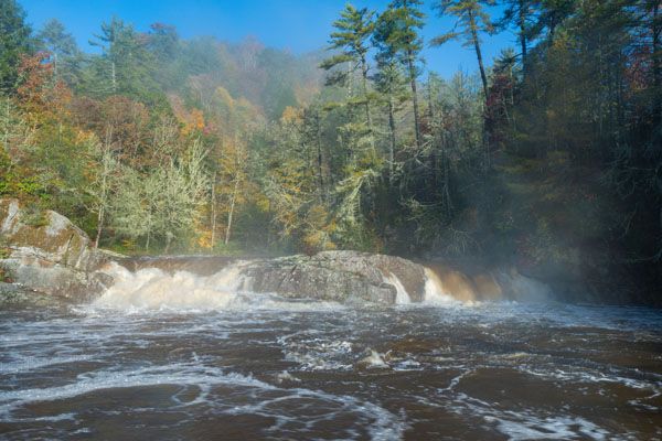
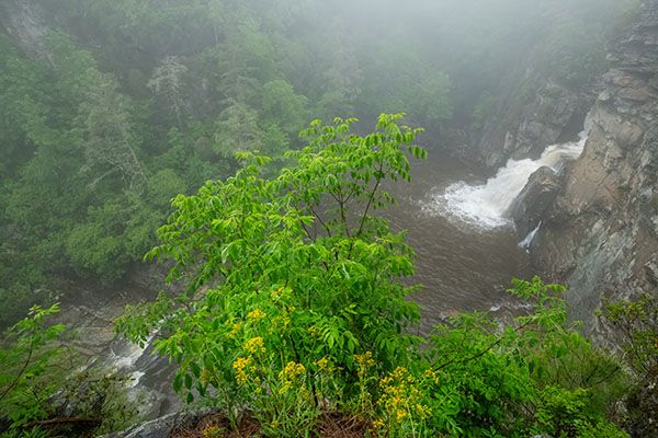
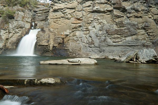
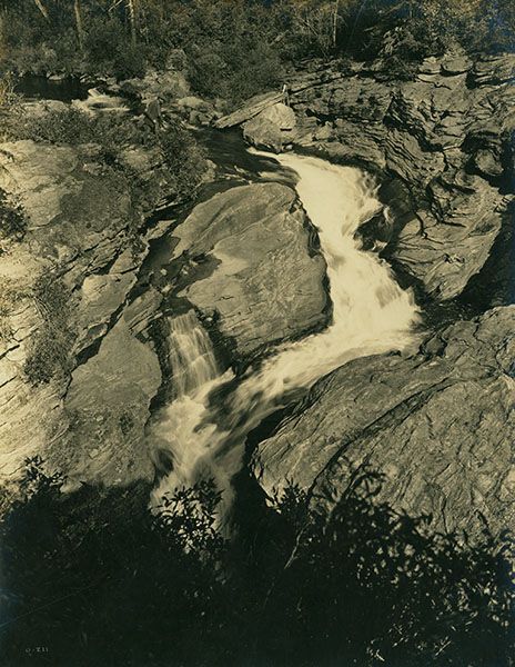
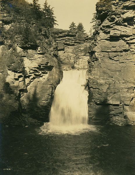
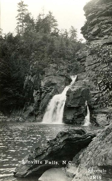
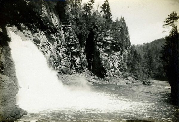
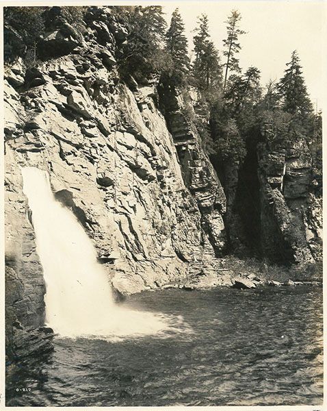
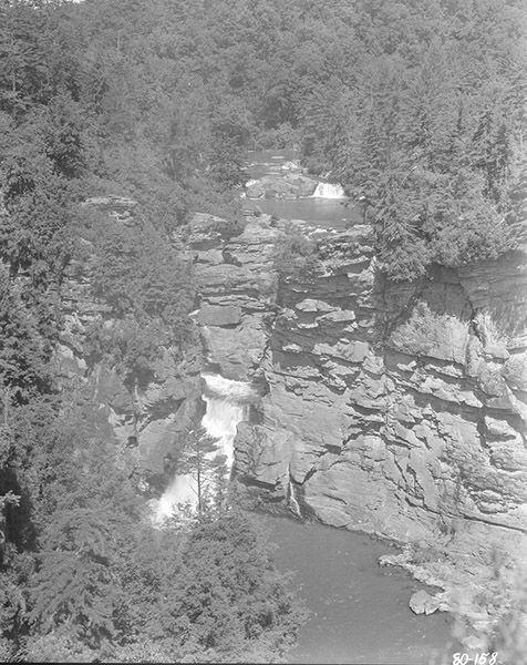
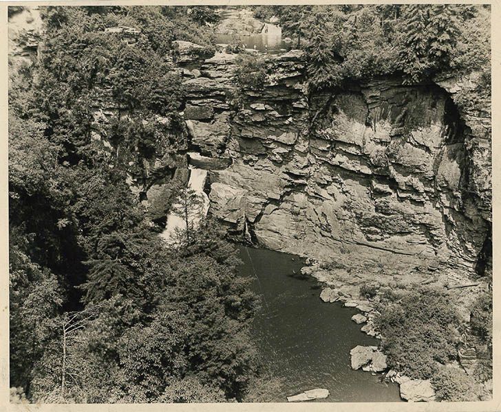
At Upper Falls Overlook (river-right side), you can see the small upper waterfall and the large pool on the upstream side and look downstream to see the river flowing through the chasm at the falls.
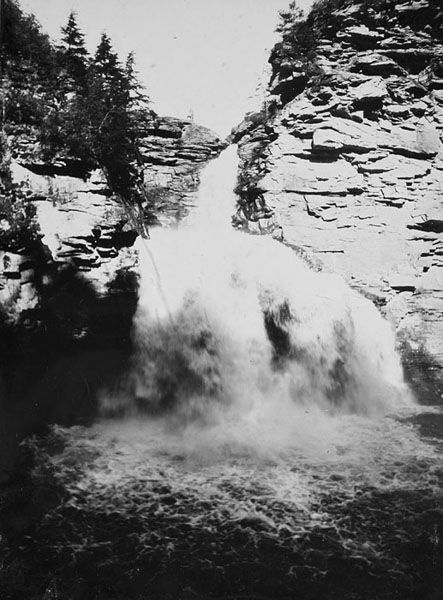
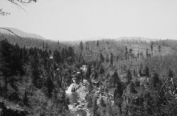
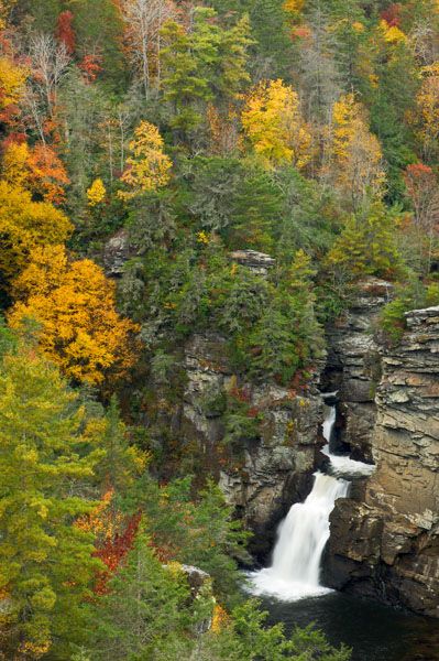
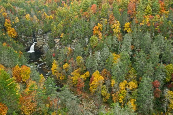
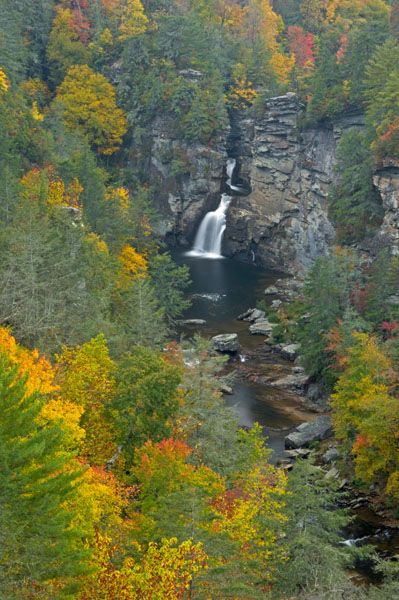
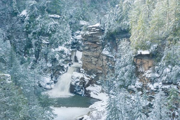
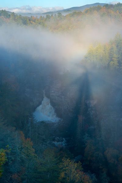
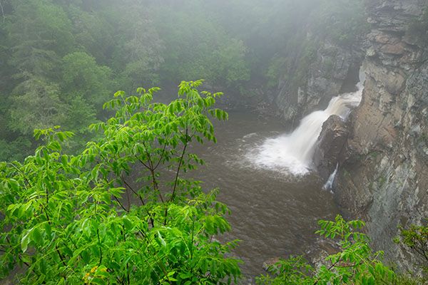
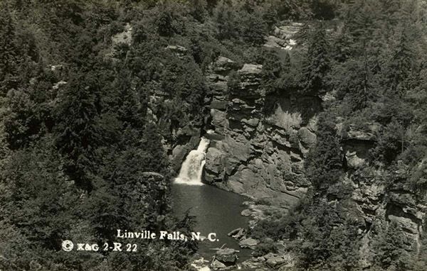
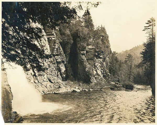
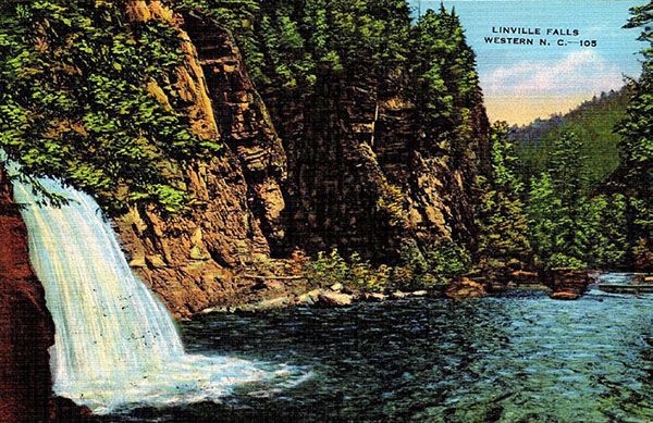
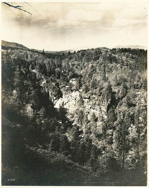
Chimney View and Erwins View (river-right side) both provide excellent distant views. Erwins View features a more sweeping view of the falls, gorge, and distant mountains, while Chimney View offers a more intimate experience with the waterfall.
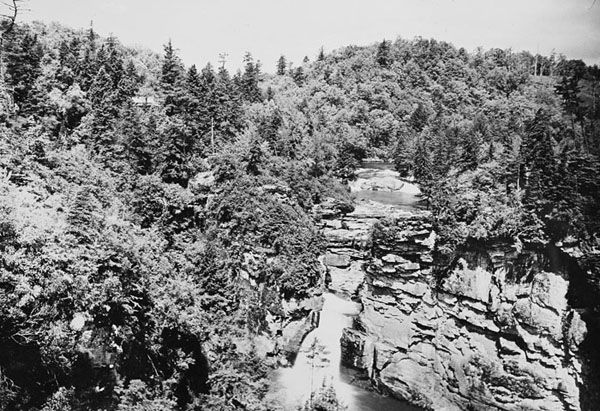
On the river-left side of the river, Plunge Basin Overlook provides superb views of the Chimneys on the west side of the gorge and gives an interesting perspective of the falls.
Plunge Basin, on river right, is where the trail ends at the river near the base of the falls. You can’t see anything from this point. To view the waterfall, scramble upstream along the rocks. If the water level is above normal, this is a difficult trek, made much easier if you get your feet wet.
Keep in mind that both swimming and climbing on the rocks are prohibited. Also, I have not been down to the base since Helene. From Chimney View on the river-right side you can tell that the riverbank was scoured. I have no idea how that will affect getting up to the plunge pool.
Here are the approximate distances for the trails from the paved BRP parking area:
Upper Falls Overlook: 0.5 miles
Chimney View: 0.75 miles
Erwins View: 0.9 miles
Plunge Basin Overlook: 0.5 miles
Plunge Basin: 0.75 miles
The trail leading from the unpaved National Forest trailhead runs 0.3 miles to join the trail coming from the paved parking area.
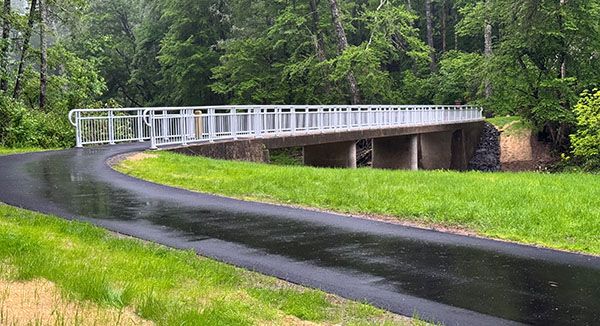
The new bridge over Linville River at the trailhead. (064A-270693)
| Accessibility: | Hiking trail |
| County: | Burke |
| River Basin: | Catawba |
| Watercourse: | Linville River |
| Watershed: | Large |
| Type and Height: | Powerful cascades and freefalls totaling 100 feet Height measured with rangefinder. I’m including the upper section in the 100-foot measurement. |
| Landowner: | Blue Ridge Parkway |
| Beauty Rating: | 10 |
| Elevation: | 3160 feet |
| USGS Map: | Linville Falls |
| Hike Difficulty: | Moderate |
| Hike Distance: | See Hiking Directions |
| Waterfall GPS: | 35.94993, -81.92715 Reading taken from Upper Falls Overlook at the top of the main falls. |
| Trailhead GPS 1 & 2: | 35.95543, -81.92798 This is for the paved Blue Ridge Parkway parking area on the river-left side. This is for the unpaved National Forest parking area on the river-right side. |
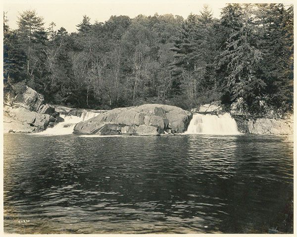
Photo Gallery
Click a photo to enlarge.
Then & Now
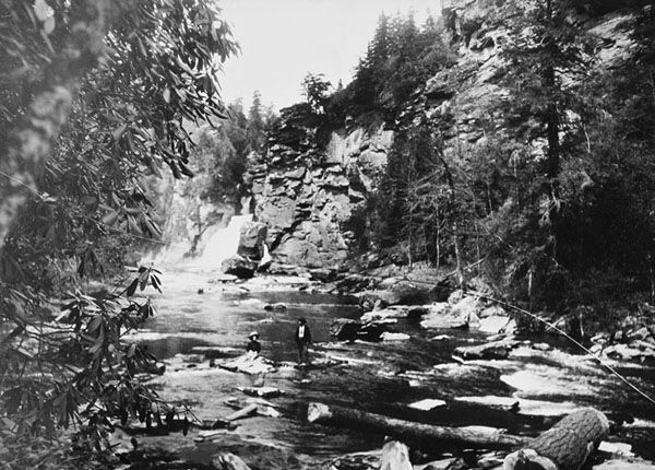
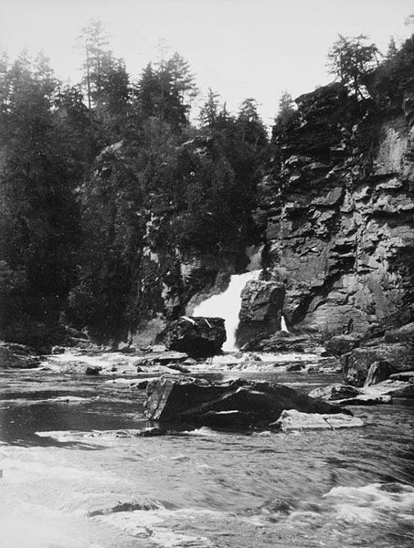
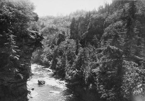
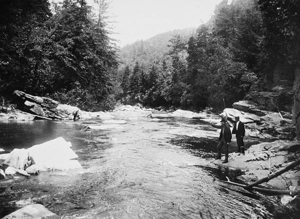
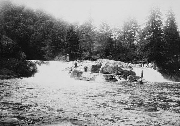
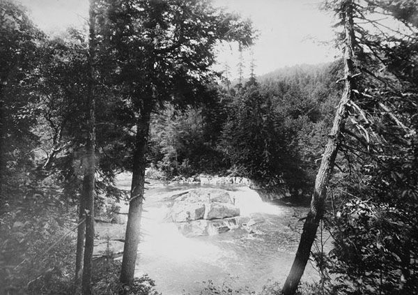
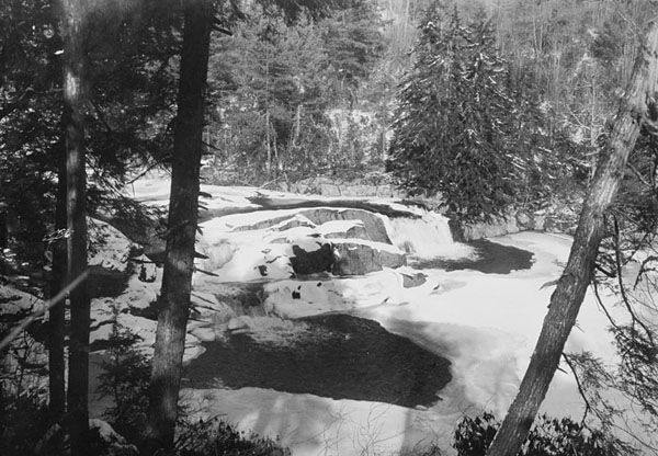
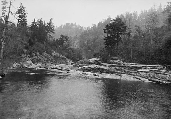
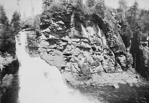
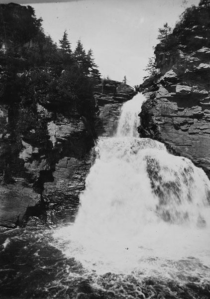
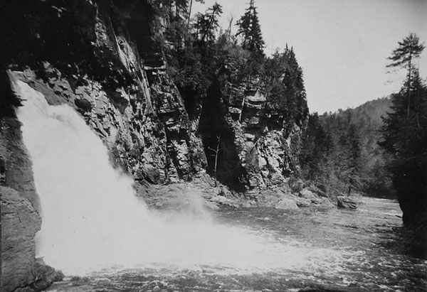
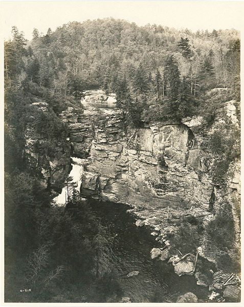
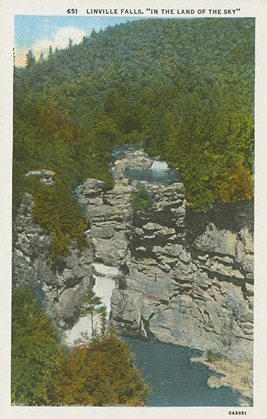
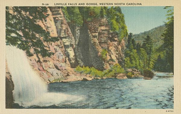
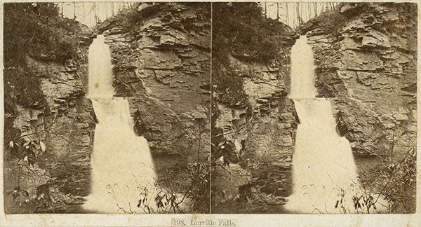
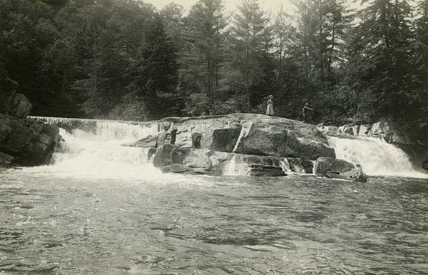
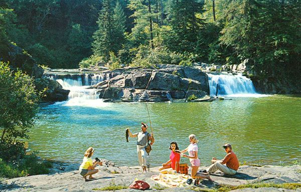
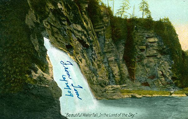
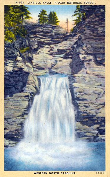
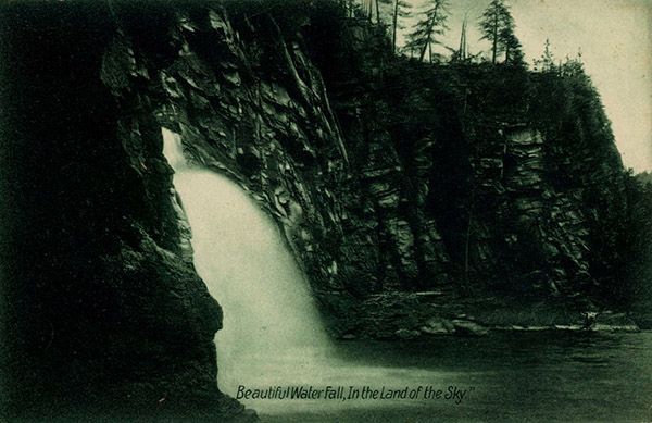
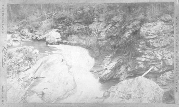
Historical Gallery
Click a photo to enlarge.
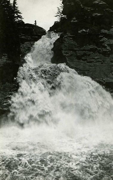
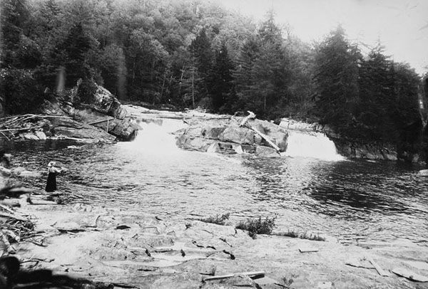
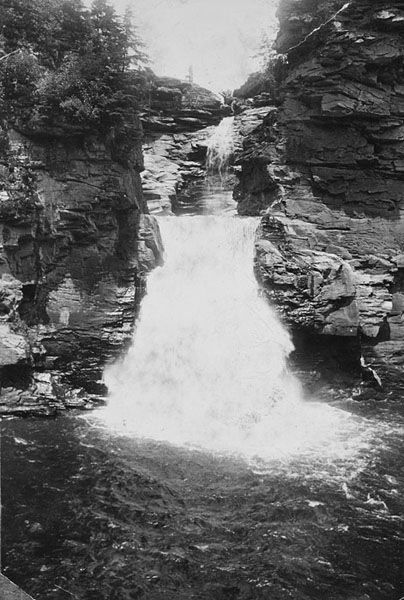
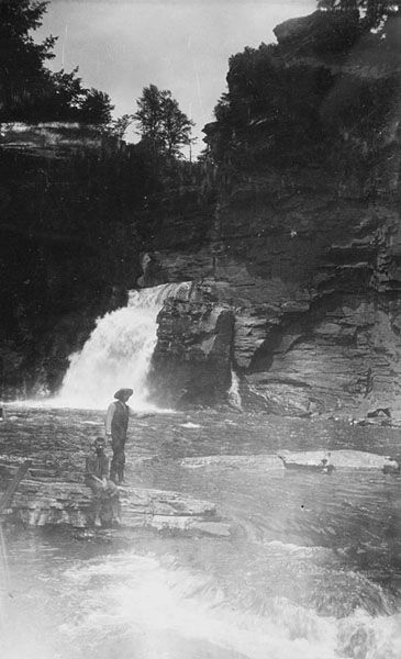
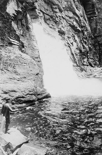
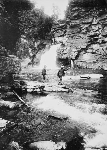
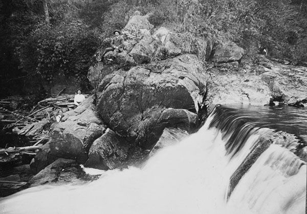
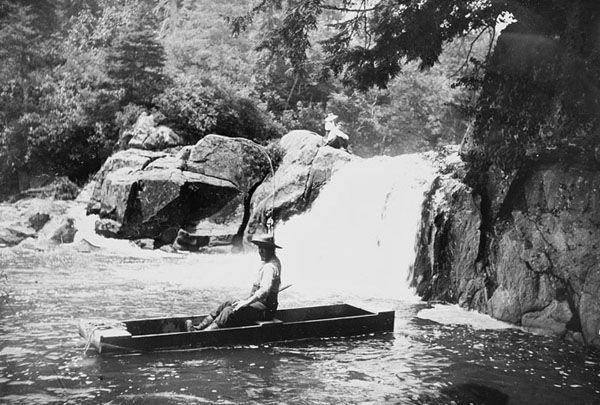
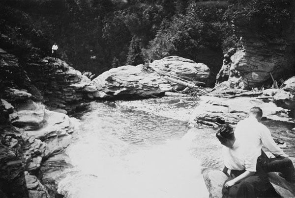
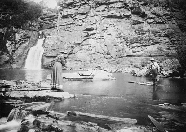
Frank Bicknell Historical Gallery
Click a photo to enlarge.