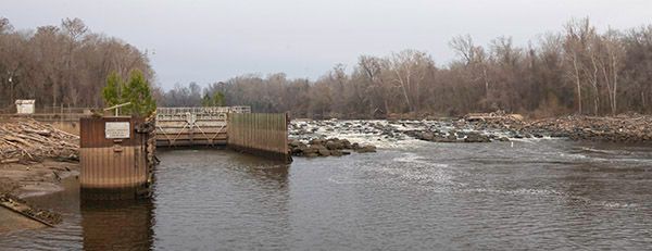
Lock and Dam Number 1
!
The lower of three locks on Cape Fear River above Wilmington. It’s very similar to Lock and Dam Number 2, but I like this one a little better. The small dam here is built as a fish ladder.
The three locks and dams on Cape Fear River were constructed between 1915 and 1935 to provide a navigable channel for commercial vessels between Wilmington to Fayetteville. The locks were regularly used for many years, but river commerce slowly declined and they are no longer needed for commercial transport. In fact, I don’t believe they are currently operating for any vessels. The locks have been considered for removal for several years, but it’s complicated issue as Number 2 and Number 3 are used as water supply intakes, and there are other concerns involved.
For information about Cape Fear River in general, including a table listing all the waterfalls on the river, visit the River Basins & Rivers page and click on the Cape Fear River Basin tab.
(014Z29-270066)
Driving Directions
From U.S. Army Corps of Engineers website:
Lock and Dam #1 is located at Kings Bluff approximately 39 miles above Wilmington. Lock and Dam 1 is accessible to public use via SR 1734 Lock #1 Rd. from North Carolina State Highway 87.
996 Lock #1 Road
Riegelwood, North Carolina 28456
Hiking Directions
Quick Glance
Walk down to the deck overlooking the river for the best view.
Detailed Look
No details needed.
| Accessibility: | — |
| County: | Bladen |
| River Basin: | Cape Fear |
| Watercourse: | Cape Fear River |
| Watershed: | Amazon |
| Type and Height: | Small fish-ladder dam |
| Landowner: | US Army Corps of Engineers |
| Experience Rating: | Meh |
| Elevation: | — |
| USGS Map: | Kelly |
| Hike Difficulty: | Easy |
| Hike Distance: | Short walk |
| Waterfall GPS: | 34.403259, -78.293537 Measurement taken from kiosk in the parking area. |
| Parking GPS: | — |
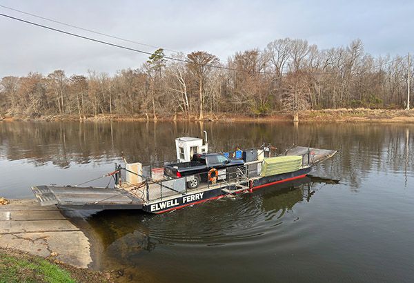
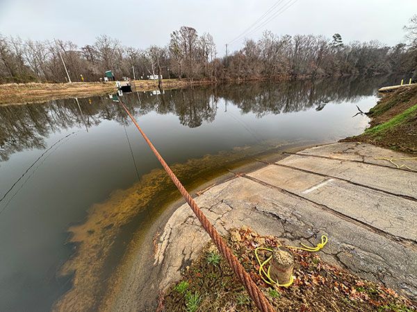
Photo Gallery
Click a photo to enlarge.