Lower Catawba Falls



!
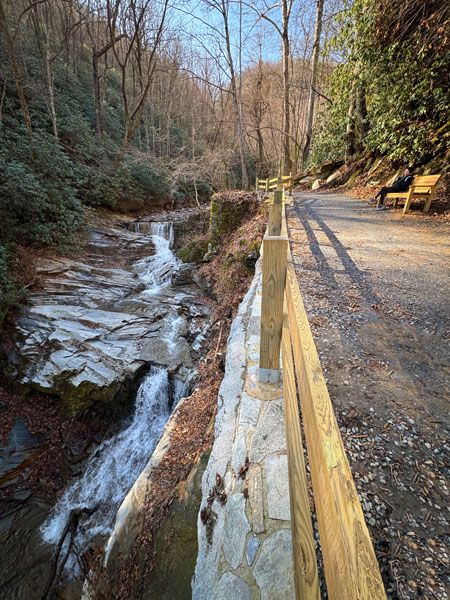
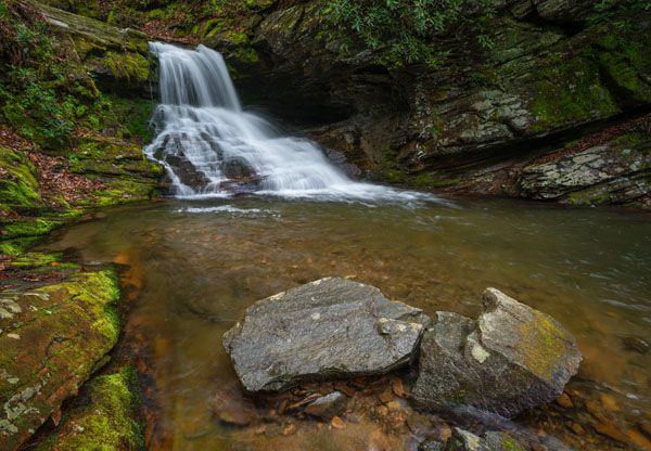
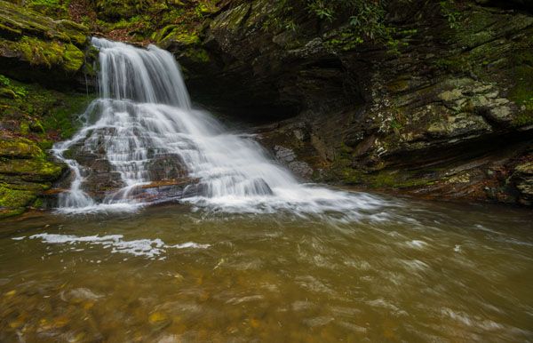
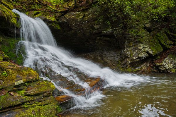
You’ll pass Lower Catawba Falls on the way to Catawba Falls. There’s an open view of it right from the trail. A few years ago, moss-covered rocks and lush banks gave the waterfall a tropical feel, but Tropical Storm Helene stripped away all that greenery in 2024. It’s still worth a stop, and the green is slowly returning.
There used to be a side path down to the base of the falls, but it’s no longer there after Helene. The view from the trail is perfectly good, though it’s not ideal for photos.
At the top of the falls are the remains of Old Fort Dam, built in the 1920s to generate electricity for Old Fort.
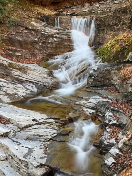
The upper section of Lower Catawba Falls with Old Fort Dam on top. (017CG-260712)
Driving Directions
Open driving directions in map appFrom I-40 Exit 73 in Old Fort, take Catawba River Road (SR 1274). If you’re traveling east, turn right at the end of the exit ramp. If you’re traveling west, turn left at the ramp, pass under I-40, turn right onto the eastbound exit ramp, then immediately turn left. Follow Catawba River Road for 3.1 miles to its end at the large parking area.
Hiking Directions
The loop hike takes you to Lower Catawba Falls, Catawba Falls, and Upper Catawba Falls. The Detailed Look provides directions for the entire loop.
Quick Glance
Hike the loop trail counterclockwise. When you see a waterfall below the trail, you’re there.
Detailed Look
Catawba Falls River Trail starts to the right of the restrooms and follows the river upstream past Catawba Falls to Upper Catawba Falls. Catawba Falls Ridge Trail starts to the left of the restrooms and follows Allison Ridge to Upper Catawba Falls. Together, they form a 3.3-mile loop, not counting the stairs.
The River Trail hike to Catawba Falls is mostly easy, with a few moderate stretches. From Catawba Falls to Upper Catawba Falls, the route climbs more than 500 steps and is difficult—though much less so than before the stairs were built. The Ridge Trail between the trailhead and Upper Catawba Falls is moderate to difficult. It has no stairs, but it’s steep in places.
I’ll describe the hike in a counterclockwise direction, which is the shortest way to reach the waterfalls and is how most people hike the trail.
Start on River Trail, to the right of the restrooms. After an easy quarter mile, you’ll reach the 103-foot footbridge over the Catawba River. Here are the remains of the hydropower plant that once supplied power to Old Fort.
From the footbridge, continue another half mile to Clover Patch Branch, an easy rock hop. Just beyond the stream, the new Catawba Falls Wildflower Trail begins on the right. This 0.25-mile trail parallels River Trail and rejoins it less than 0.2 miles ahead.
Continuing River Trail, it’s a little less than 0.1 miles to the overlook of Lower Catawba Falls and Old Fort Dam. There used to be a decent path descending to the base of the falls, but that path no longer exists. You can view the falls okay from the overlook.
From Lower Catawba Falls, it’s less than 0.2 miles to the 107-foot footbridge over Chestnut Branch, then another 250 feet to the base of Catawba Falls.
To reach Upper Catawba Falls, climb the elaborate stair system. I counted 500 steps up and 7 down, while the trailhead kiosk lists 580. That total may include the 29 steps cut into the bank before the upper falls, plus the steps descending to the base.
The stairs offer excellent views of Catawba Falls. On the steel tower section, you may also see nervous hikers gripping the inside railing—and, as I did, nervous dogs struggling with the punched-steel steps.
From the top of the stairs, it’s about 0.1 miles to the steps that descend to the viewing deck at the base of Upper Catawba Falls. Before those steps, a side path turns left and drops to the river downstream from the falls. Cross there to pick up Ridge Trail up the bank.
Continue the loop on Ridge Trail for 0.6 miles on the newly constructed trail section. This part provides nice views when the leaves are off the trees. You can easily see I-40 in the distance, though I wouldn’t call that a highlight.
The final 1.5 miles is mostly old roadbed. This stretch is unremarkable and steep in places.
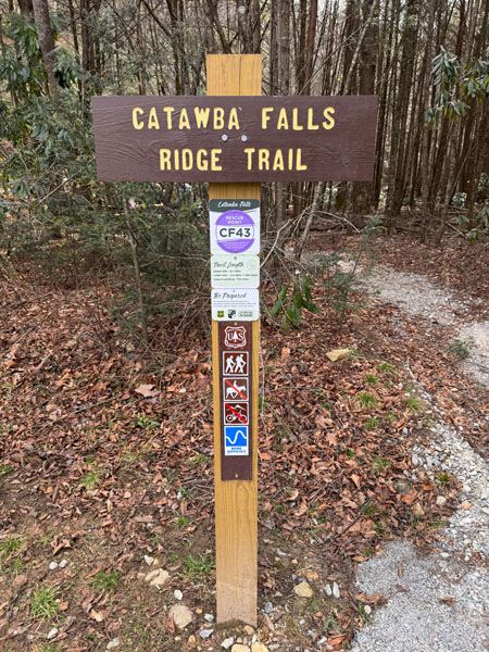
This trail begins to the left of the restrooms and leads to Upper Catawba Falls. You can return on Catawba Falls River Trail. (017A-260709)
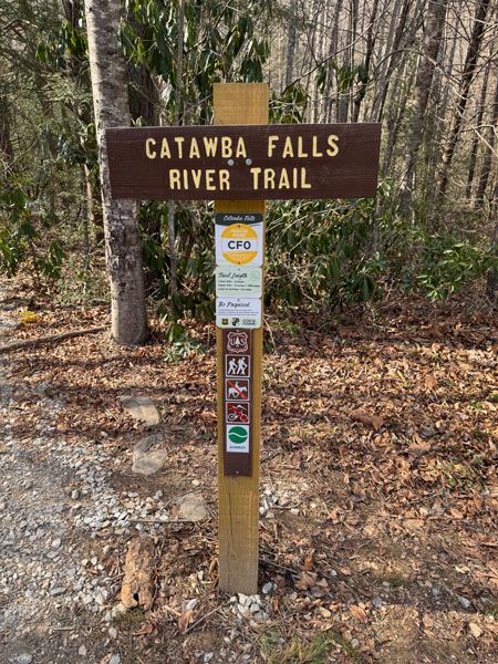
This trail begins to the right of the restrooms and leads to Lower Catawba Falls, Catawba Falls, and Upper Catawba Falls. You can return on Catawba Falls Ridge Trail. (017A-260708)
| Accessibility: | Hiking trail |
| County: | McDowell |
| River Basin: | Catawba |
| Watercourse: | Catawba River |
| Watershed: | Small |
| Type and Height: | Freefalling, sliding, and cascading falls, 36-foot high (including dam) Height measured with rangefinder. |
| Landowner: | Pisgah NF, Grandfather RD |
| Beauty Rating: | 5 |
| Elevation: | 1799 feet |
| USGS Map: | Moffitt Hill |
| Hike Difficulty: | Easy/moderate |
| Hike Distance: | 0.9 miles |
| Waterfall GPS: | 35.60675, -82.243129 This is for the view from the trail. |
| Trailhead GPS: | 35.613256, -82.23087 |
Photo Gallery
Click a photo to enlarge.