Lower Hungry River Falls
Lower Big Hungry River Falls
!
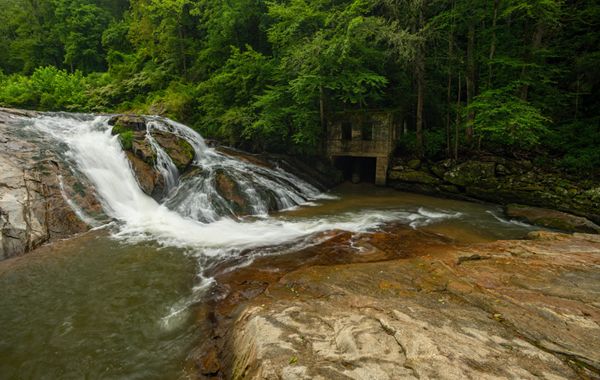
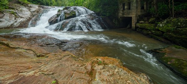
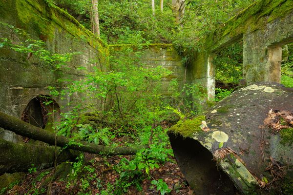
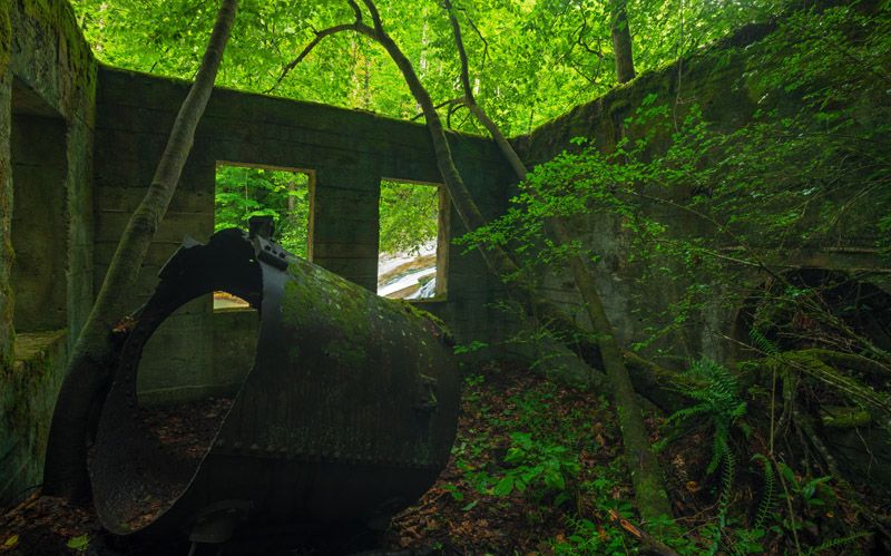
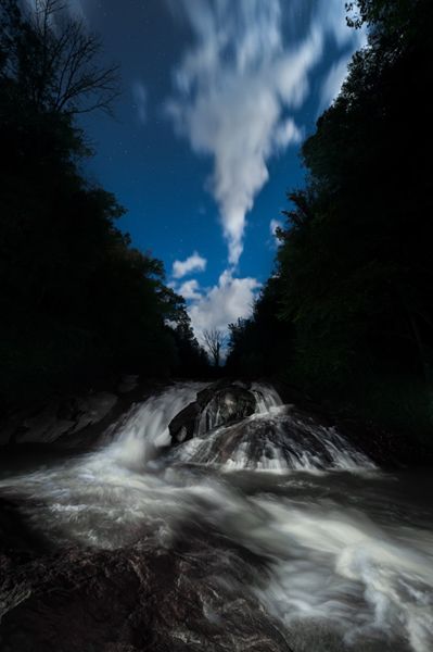
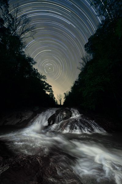
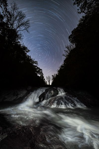
Like fine wine, Lower Hungry River Falls had gotten better with age. An old, dilapidated dam once stood on top of the falls, catching huge amounts of debris and creating an ugly mess, as well causing a safety hazard. In 2015, the dam was removed and after the unsightly scars from improving the access road for the heavy demolition equipment had mostly healed, this waterfall became a terrific destination for the first time in over a hundred years.
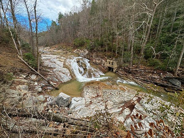
Then, on September 26, 2024, Tropical Storm Helene paid a visit and severely impacted the area. The storm caused landslides on the access trail and scoured the riverbed, leaving fallen trees and debris everywhere.
I visited the falls two months after Helene and it was a big mess, but a manageable one. I could navigate the landslides okay and access the falls. Remarkably, the sandy beach areas were still there. I haven’t returned since then, but I’m sure the situation has improved, so I’m keeping the checkmark icon.
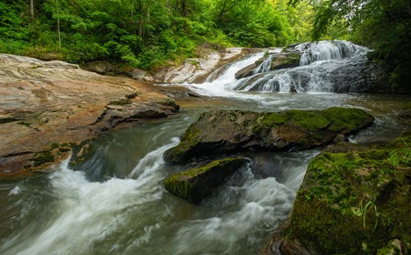
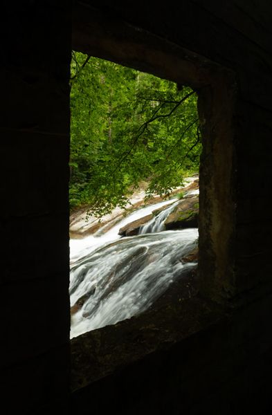
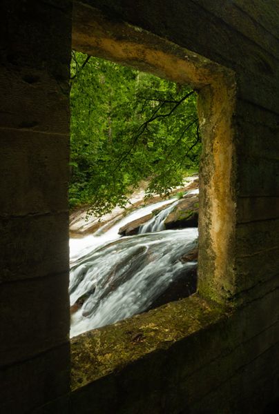
Lower Hungry River Falls. Pre-Helene photo. (002J-166722R)
Driving Directions
Open driving directions in map appThe trailhead is the same for Case Falls, Briefcase Falls, Lower Briefcase Falls, and Lower Falls on Hungry River.
Southeast of Hendersonville, take Exit 53 off I-26 onto Upward Road. Head east (away from Hendersonville) on Upward Road for 1.6 miles and turn right on Big Hungry Road (SR 1802). The road forks at 0.5 miles; stay left to remain on Big Hungry Road. Continue 0.25 miles to another fork and bear right. From this fork, drive 0.5 mile and turn right on Gallimore Road (SR 1956). Drive 0.6 miles to the parking area at the end of the road.
The road ends at a turnaround, with room to park along the outside of the curve. The large, gated parking area in the field is for kayakers accessing Green River. As far as I can determine, kayakers aren’t allowed to park in the turnaround, but it’s okay for hikers. To be safe, you can leave a note on your dash with “hiker” written on it.
Hiking Directions
Quick Glance
Face the turnaround with the kayaker parking to the right. On your left is an old gated road entering the woods, which leads to the falls.
Detailed Look
Hike description before Helen: Face the turnaround with the kayaker parking to the right. Enter the woods on the left, on the old gated road. (A small creek flows under the turnaround. Do not cross it and do not take the road at the end of the turnaround.) You’ll swing left around a curve, which is the point from which one leaves the road to reach Case, Briefcase, and Lower Briefcase waterfalls. Continue on the old road. At about 0.3 mile from the gate, the road starts to climb and a side path veers right. Follow the side path about 100 yards to the falls.
Hike description after Helene: You’ll have to navigate the landslides and fallen trees. The old road now comes to a viewpoint high above the falls. The best way to reach the base is to descend to the river along the landslide closest to the falls. From there, it’s a short easy walk along the riverbed up to the falls. falls.
| Accessibility: | Hiking trail |
| County: | Henderson |
| River Basin: | Broad |
| Watercourse: | Hungry River |
| Watershed: | Medium |
| Type and Height: | Cascading and sliding falls, 20 feet high Height measured with rangefinder. |
| Landowner: | Green River Game Land |
| Beauty Rating: | 5 |
| Elevation: | 1660 feet |
| USGS Map: | Cliffield Mountain |
| Hike Difficulty: | Moderate Class I bushwhack |
| Hike Distance: | 0.4 miles |
| Waterfall GPS: | 35.292565, -82.356128 |
| Trailhead GPS: | 35.29019, -82.35955 |
Photo Gallery
Click a photo to enlarge.