Mingo Falls
!
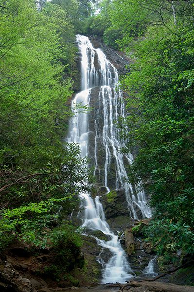
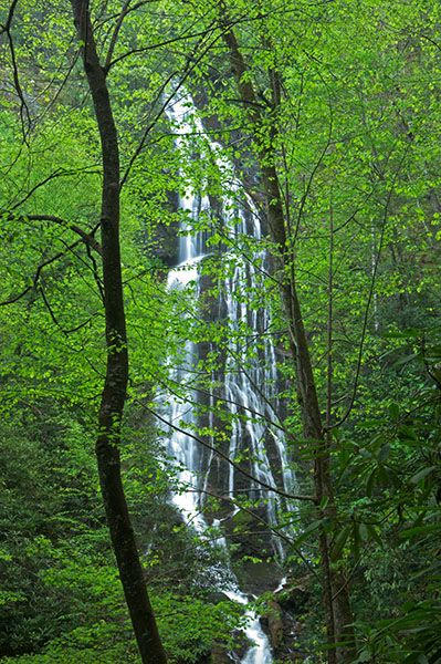
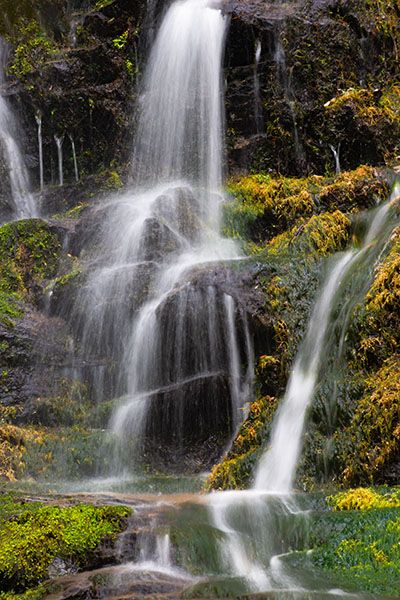
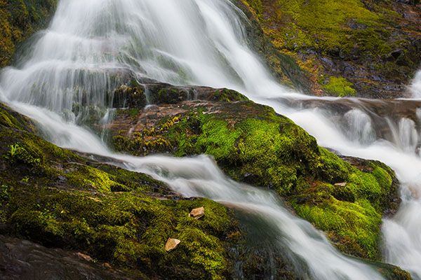
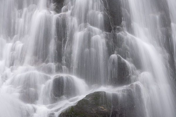
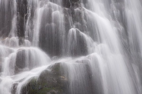
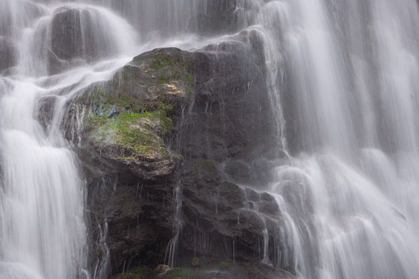
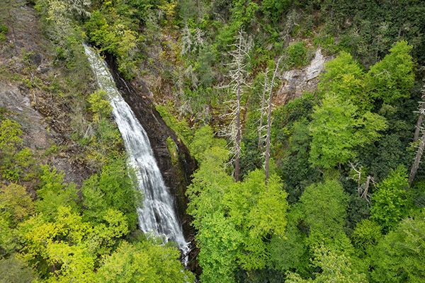
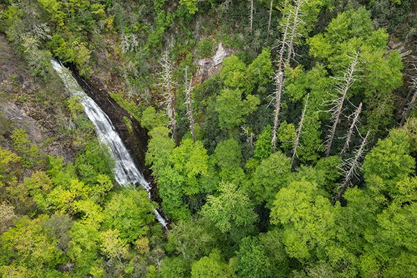
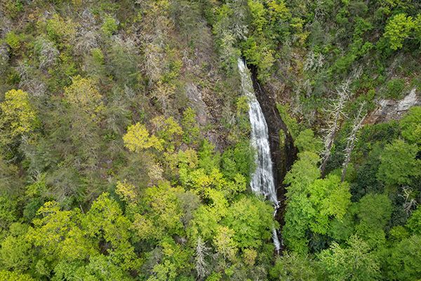
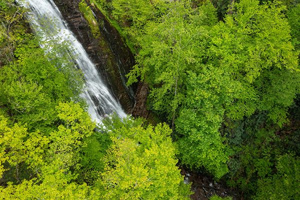
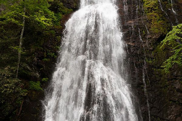
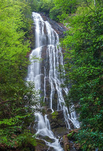
The striking, highly photogenic Mingo Falls is among the most popular waterfalls in the Smokies—and deservedly so. Visit early to beat the crowds. Though often assumed to be within Great Smoky Mountains National Park, the waterfall is actually on the Qualla Boundary, homeland of the Eastern Band of Cherokee Indians.
(14-01-15971)
Driving Directions
Open driving directions in map appFrom the Blue Ridge Parkway/Newfound Gap Road (US 441) junction in Great Smoky Mountains NP, drive 0.5 miles south toward Cherokee on Newfound Gap Road, then turn left onto Saunooke Bridge Road. After 0.2 miles, turn left onto Big Cove Road. Continue 4.7 miles, then turn right at the Mingo Falls sign. The parking area is straight ahead, across the bridge.
Both Big Cove Road and Newfound Gap Road begin in Cherokee, so you can use either if you’re coming from that direction.
Hiking Directions
Quick Glance
Follow the obvious trail.
Detailed Look
Start behind the kiosk, climb 163 steps, then continue along a level path a little over 100 yards. Climb nine more steps to reach the footbridge below the falls.
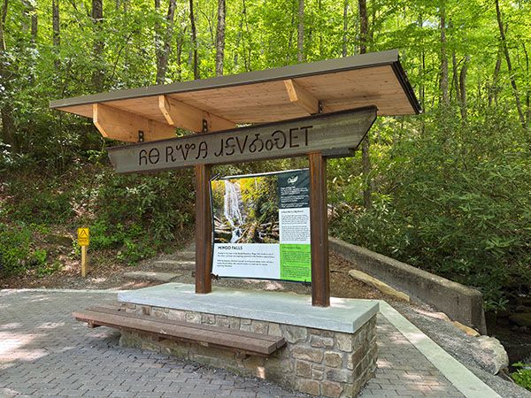
The kiosk at the Mingo Falls trailhead. (14-01-270548)
| Accessibility: | Hiking trail |
| County: | Swain |
| River Basin: | Little Tennessee |
| Watercourse: | Mingo Creek |
| Watershed: | Small |
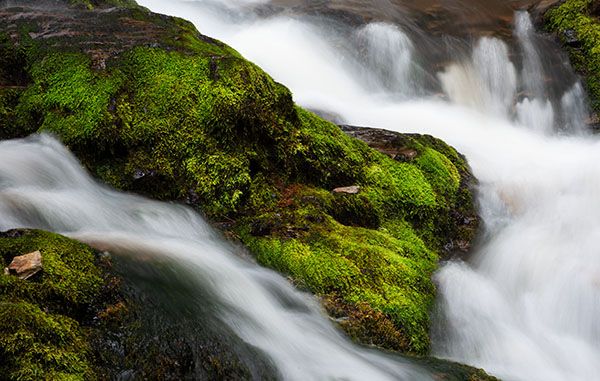
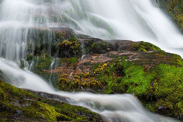
| Type and Height: | Very steep 175+-foot-high waterfall falling over countless tiny ledges 175 feet is the portion visible from base, measured with rangefinder. There is more above this. |
| Landowner: | Eastern Band of Cherokee Indians |
| Beauty Rating: | 9 |
| Elevation: | 2560 feet |
| USGS Map: | Smokemont |
| Hike Difficulty: | Difficult A bunch of steps! |
| Hike Distance: | 163 steps plus 123 yards |
| Waterfall GPS: | 35.53204, -83.2754 |
| Trailhead GPS: | 35.534033, -83.276218 |
Photo Gallery
Click a photo to enlarge.