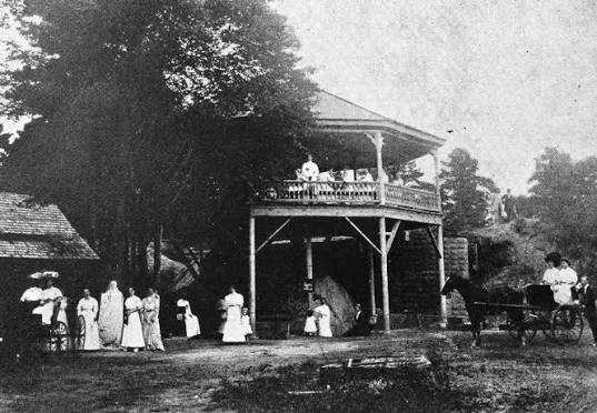
Panacea Falls
Waterfallson this site and counting
!
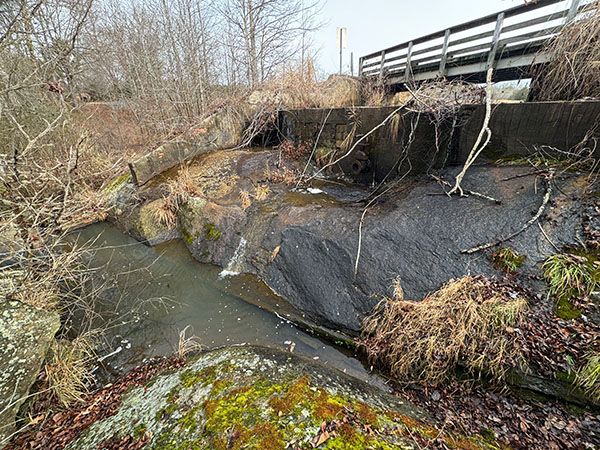
If you visit Panacea Falls expecting to add a charming little waterfall to your life list, you’ll be sorely disappointed. The waterfall itself has little to recommend it. But viewed in the context of its setting and history, it can make for a pleasant outing. The story is interesting, and the rolling landscape has a beauty more typical of North Carolina’s Foothills. Even so, it probably isn’t worth a long drive.
(116H-259216)
SHOW MORE
Driving Directions
Panacea Springs is at 955 Panacea Springs Road in Littleton.
Hiking Directions
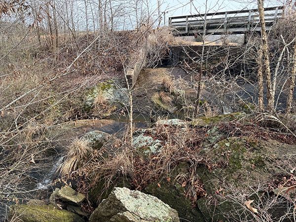
The bridge offers a clear view of the dam at the top of the falls. You can walk along the roadside for a different angle, but you won’t see much of the waterfall.
| Accessibility: | Roadside view |
| County: | Warren |
| River Basin: | Tar-Pamlico |
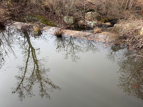
| Watercourse: | Tributary of Bens Creek |
| Watershed: | Very small |
| Type and Height: | Unremarkable falls, 10-12 feet high |
| Landowner: | Private, viewed from road |
| Beauty Rating: | 1 |
| Elevation: | 220 feet |
| USGS Map: | Littleton |
| Hike Difficulty: | View roadside |
| Hike Distance: | View roadside |
| Waterfall GPS: | 36.388634, -77.919643 Reading is from the bridge at the top of the falls. |
| Parking GPS: | — |
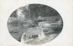
Photo Gallery
Click a photo to enlarge.
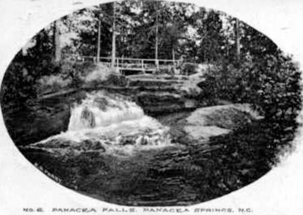
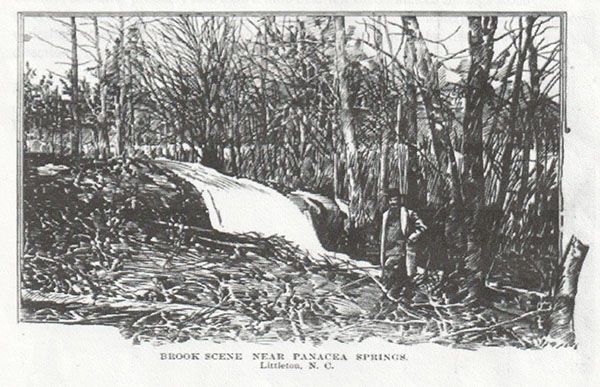
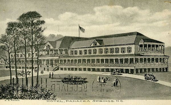
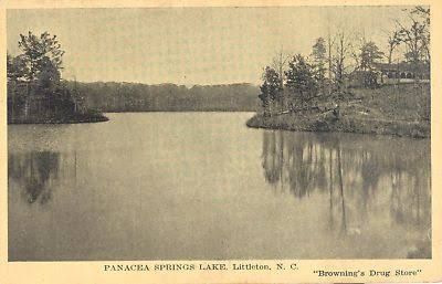
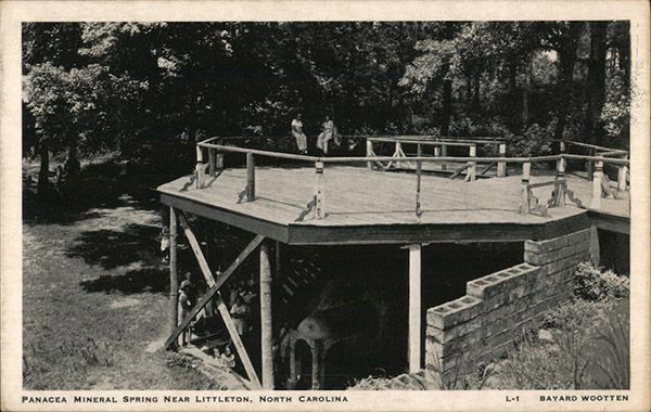
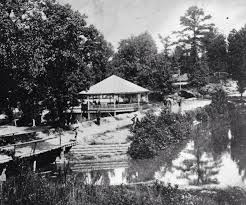
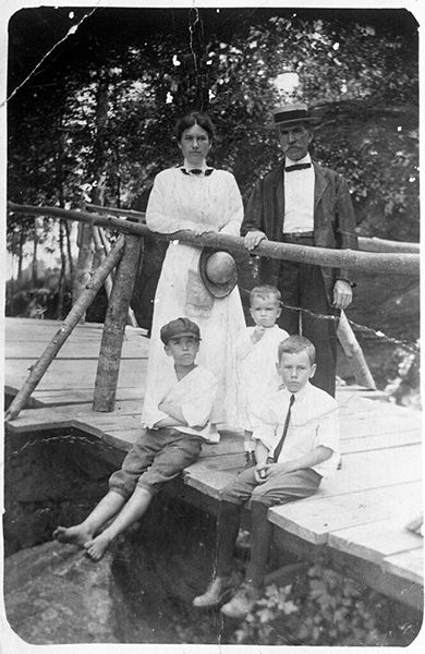
Historical Gallery
Click a photo to enlarge.