Potholes Falls
!
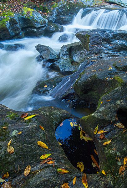
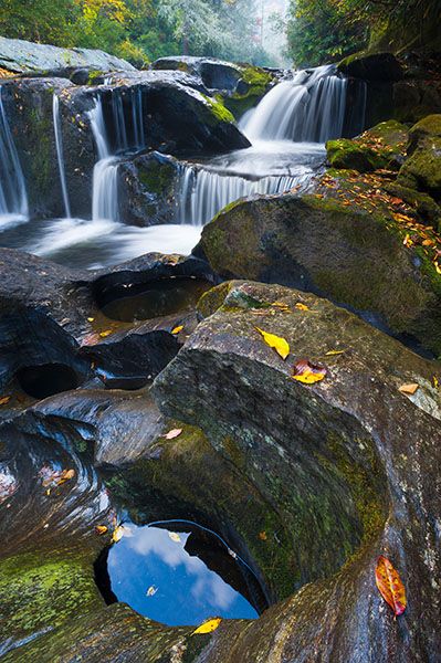
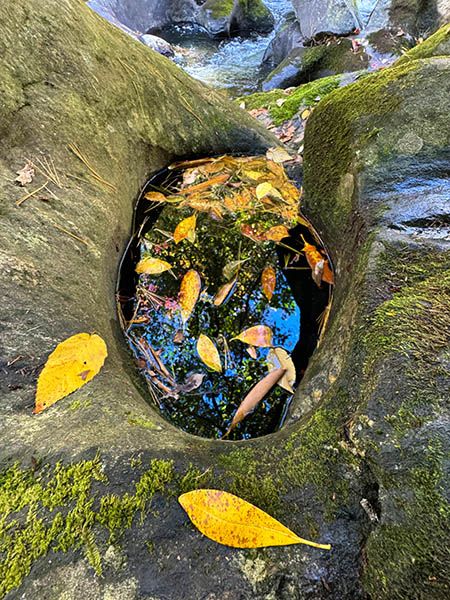
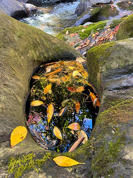
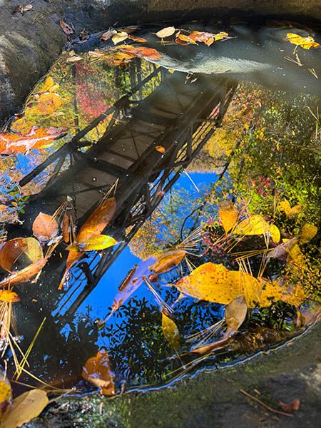
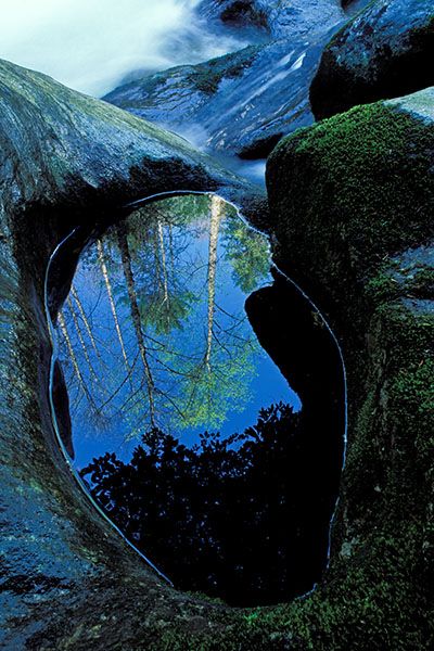
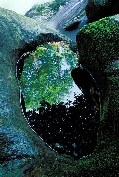
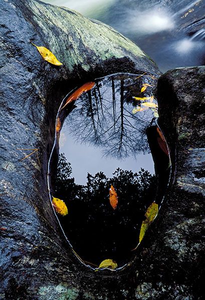
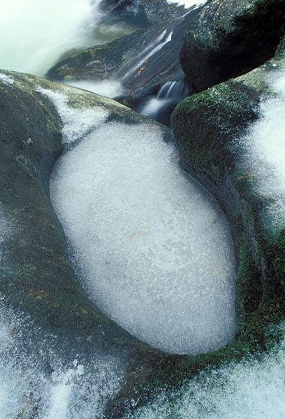
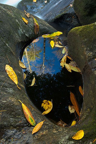
It may only be 15 feet high, but Potholes Falls is among my favorites. Chattooga River carved this little section into a picturesque cluster of potholes, sculpted rock, and cascades.
The waterfall is also easy to view. You can walk a few feet out on the old bridge and look down or take the short path down to the river at the top of the falls. You can also take the short, but more challenging, path down to the river below the bridge. From there you’ll get a close view of the sculpted rock.
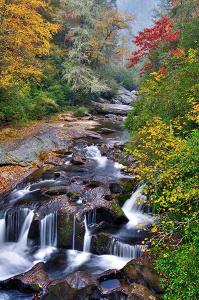
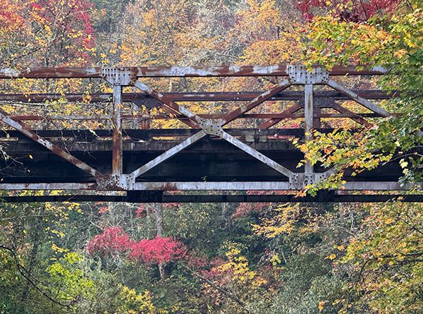
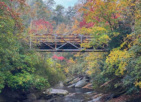
Potholes Falls viewed from Iron Bridge. (019A-62253M3)
Driving Directions
Open driving directions in map appFrom US 64 in Highlands, head east on Horse Cove Road (Main Street) and descend into Horse Cove. Horse Cove Road ends at 4.55 miles where Whiteside Cove Road (SR 1606) turns left and Bull Pen Road (FS 1178) goes straight.
Go straight on the unpaved Bull Pen Road. At 3 miles, you’ll come to a bridge over the Chattooga River. (The road is paved for a distance before you reach the river, then it’s unpaved again after you cross the bridge.) Park on the left, just before crossing the bridge.
There is room here for only two vehicles and parking is not allowed along the side of the paved road near the bridge. You can park at the wide spot on the road back up the hill.
Hiking Directions
Quick Glance
Walk out on the bridge and look down.
Detailed Look
Walk out on the bridge and look down. Also, a short path leads from the parking area down to the top of the falls. Also, on the other side (river left) of the bridge, stone steps lead down to the river. Once there, you’ll have to scramble over the slippery rocks to get up to the falls.
| Accessibility: | Roadside view and scramble to base |
| County: | Macon |
| River Basin: | Savannah |
| Watercourse: | Chattooga River |
| Watershed: | Medium |
| Type and Height: | 15-foot cascading falls over sculpted rock |
| Landowner: | Nantahala NF, Nantahala RD |
| Beauty Rating: | 7 |
| Elevation: | 2380 feet |
| USGS Map: | Highlands NC/GA |
| Hike Difficulty: | Easy The hike to the bottom will be tough for some people. |
| Hike Distance: | It’s directly under the road |
| Waterfall GPS: | 35.016007, -83.126365 Reading made from the center of Iron Bridge. |
| Trailhead GPS: | 35.01604, -83.126542 |
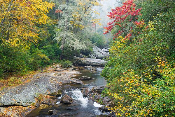
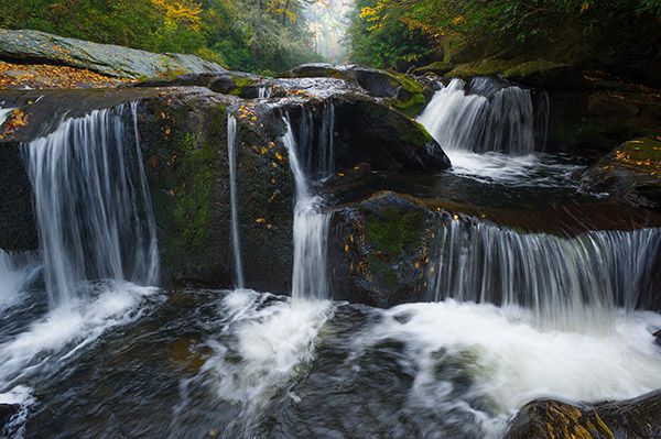
Photo Gallery
Click a photo to enlarge.