
Shut-in Falls
!
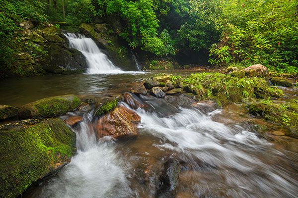
This is a fun little waterfall to see on a visit to Hot Springs. I like the hike and the waterfall is photogenic. It’s little known, so you’ll likely have it to yourself. It does have a drawback though. A power line crosses the creek above it. I’d give it a higher beauty rating if it wasn’t for that.
(115K-252496)
Driving Directions
Open driving directions in map appFrom Hot Springs, drive 3 miles northwest (toward Tennessee) on US 25/70 and turn left onto Upper Shut-in Road (SR 1183). Drive 2.4 miles to a small pullout on the left, just before a bridge, the third bridge over Shut-in Creek.
Hiking Directions
Quick Glance
Follow the trail from the pullout to the falls.
Detailed Look
The trail begins at the pullout. It parallels Shut-in Creek for a short distance before swinging into the East Fork Shut-in Creek drainage. At one point the trail runs for a few yards in the creekbed and you pass some scenic cascades. The trail crosses the creek a little bit downstream from the falls. You may want to get out in the water for a better view.
| Accessibility: | Hiking trail |
| County: | Madison |
| River Basin: | French Broad |
| Watercourse: | East Fork Shut-in Creek |
| Watershed: | Small |
| Type and Height: | Cascading falls, 7 feet high Height measured with rangefinder. |
| Landowner: | Pisgah NF, Appalachian RD |
| Beauty Rating: | 3 |
| Elevation: | 1880 feet |
| USGS Map: | Lemon Gap NC/TN |
| Hike Difficulty: | Moderate |
| Hike Distance: | 0.2 miles |
| Waterfall GPS: | 35.873155, -82.885264 |
| Trailhead GPS: | 35.87546, -82.884334 |