Silvervale Falls


!
I’ve visited Silvervale Falls many times since the early 1990s, and nearly every trip has revealed a fresh layer of graffiti all over the falls. The disregard for nature—and for other visitors—seems to have been handed down through generations of vandalous boneheads. I’ve often joked that we might as well rename it Graffiti Falls.
If you can look past the graffiti, Silvervale Falls is an unexpectedly impressive waterfall. It’s on a small stream, though, so it looks best after wet weather.
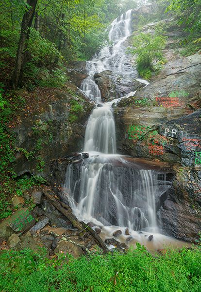
Silvervale Falls. (087A-125889)
Driving Directions
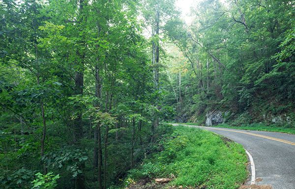
Open driving directions in map appFrom Blowing Rock, start at the junction of US 321 Business and US 321 south of town. Drive south on US 321 for 6.7 miles, then turn right onto Waterfalls Road (SR 1371). Continue 1.75 miles; the falls will be on the left. Waterfalls Road continues another 1 mile to Kirby Mountain Road, where a left turn returns you to US 321.
From Lenoir, take US 321 north. At NC 268, which turns right, set your odometer and continue 4.5 miles on US 321. Turn left onto Kirby Mountain Road (SR 1370), drive 0.5 miles, then turn right onto Waterfalls Road. Follow Waterfalls Road for 1.0 miles to the falls.
Hiking Directions
No hiking here.
| Accessibility: | Roadside view |
| County: | Caldwell |
| River Basin: | Catawba |
| Watercourse: | Greenfield Branch |
| Watershed: | Very small |
| Type and Height: | Cascading and freefalling falls over 100 feet high Portion visible from base measured with rangefinder at 102 feet. According to LiDAR map, there is perhaps another 20 feet above this. |
| Landowner: | Private, viewed from road The upper portion of the falls may be within the US 321 property corridor. |
| Beauty Rating: | 4 |
| Elevation: | 1800 feet |
| USGS Map: | Buffalo Cove |
| Hike Difficulty: | View roadside |
| Hike Distance: | View roadside |
| Waterfall GPS: | 36.048362, -81.594713 |
| Parking GPS: | 36.048362, -81.594713 |
Then & Now