Soco Falls




!
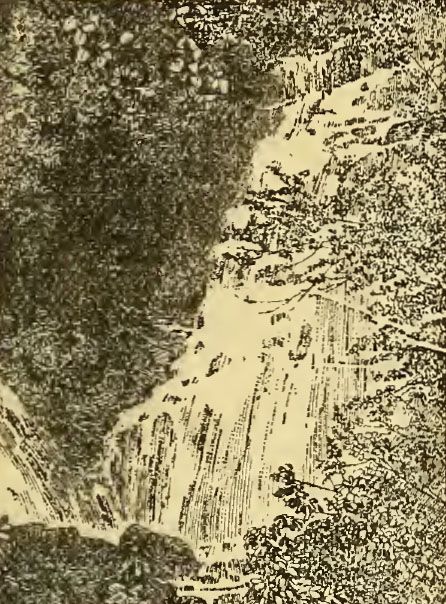
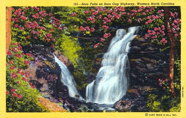
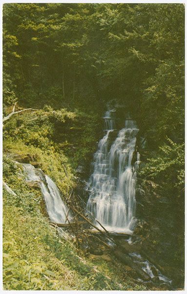
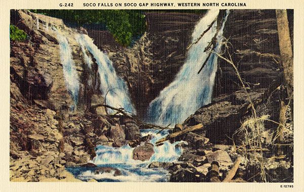
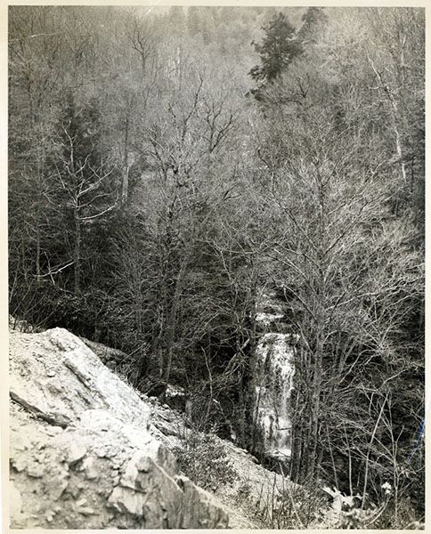
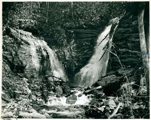
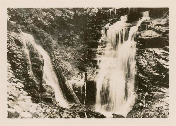
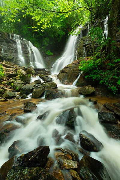
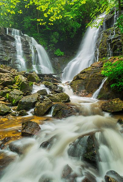
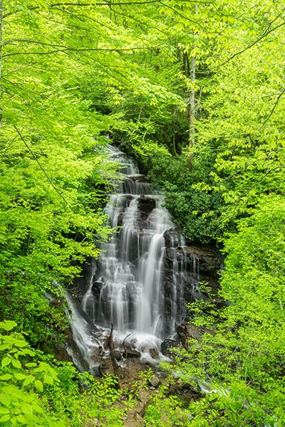
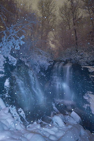
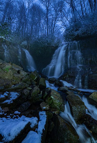
Soco Falls is a double waterfall where Brush Creek meets Soco Creek. It’s one of the region’s better waterfalls for both beauty and accessibility, though there are a few caveats. It’s very popular, so expect company. And because of its popularity—and the convenient new parking area—it can be easy to assume the hike is easier than it is. See “Special Considerations” below for more on that.
Until recently, visitors reached the waterfall from a narrow pullout just above the falls. It was a dangerous situation. The pullout was on a sharp curve, and cars were constantly pulling in and out or blocking traffic when it filled up, which happened often.
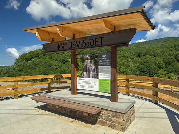
In 2025, the Eastern Band of Cherokee Indians (EBCI) built a spacious new parking area farther from the falls. It features picnic tables, benches, portable toilets, an informational kiosk, and multiple parking spaces. The old pullout has been fenced off, so parking there is no longer possible. Big thanks to EBCI for providing this excellent facility!
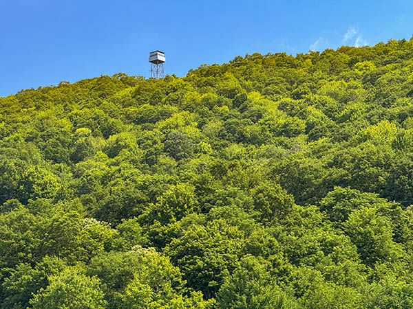
Look up at the mountain across the road from the parking area and you’ll see a lookout tower. You’d be forgiven for thinking it’s an old fire lookout—it looks just like one, aqua paint aside. But it’s actually a modern cell tower designed to resemble a fire lookout. I don’t know how the color was chosen; if it was meant to blend into the sky, it doesn’t work especially well on overcast days. Still, credit to the designer for creating a cell tower that isn’t an eyesore.
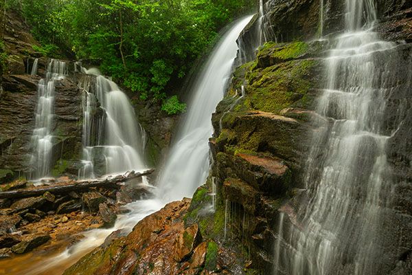
Soco Falls. (14-03-122696R)
Driving Directions
Open driving directions in map appThe parking area is on US 19, 1.0 miles south of the Blue Ridge Parkway bridge and about 10 miles north of Cherokee.
Hiking Directions
Quick Glance
The trail begins at the kiosk at the lower end of the parking area and is well marked and easy to follow.
Detailed Look
No details needed.
| Accessibility: | Hiking trail |
| County: | Jackson |
| River Basin: | Little Tennessee |
| Watercourse: | Soco Creek & Brush Creek |
| Watershed: | Small |
| Type and Height: | Double cascading waterfall about 50 feet high Height measured with rangefinder. See “Measuring” for details. |
| Landowner: | Eastern Band of Cherokee Indians |
| Beauty Rating: | 6 |
| Elevation: | 3840 feet |
| USGS Map: | Sylva North |
| Hike Difficulty: | Easy, with a steep section |
| Hike Distance: | 0.2 miles |
| Waterfall GPS: | 35.492481, -83.169632 |
| Trailhead GPS: | 35.493775, -83.167221 |
Photo Gallery
Click a photo to enlarge.
Historical Gallery
Click a photo to enlarge.