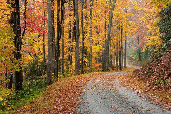
Stairstep Falls
!
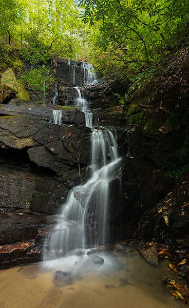
I wasn’t very kind to Stairstep Falls in the third edition of North Carolina Waterfalls. I don’t know if the waterfall changed in the eighteen years between visits or if I changed (pretty sure the latter), but on my most recent I found a nice little waterfall. It does need a decent water flow to look its best.
(002F-210676)
Driving Directions
Open driving directions in map appSouth of Hendersonville, take Exit 53 off I-26 onto Upward Road. Drive east (away from Hendersonville) on Upward Road 1.6 miles and turn right on Big Hungry Road (SR 1802). The road forks at 0.5 miles; stay left to remain on Big Hungry Road and continue 0.25 miles to another fork. Bear right at this fork and drive 4.4 miles and turn right on an unpaved road. A gravel parking area is on the left at the start of the road. This is the trailhead for Emily Falls.
There is a gate just beyond the parking area. I don’t know if there is a regular schedule for it. It was closed on an August visit and open on an October trip. Beyond the gate, the road is part of Long Ridge Trail. Hike or drive the trail 0.5 miles to the right curve and parking area, just before reaching another gate.
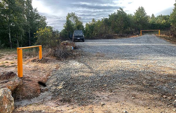
Trailhead. (002F-trailhead)
Hiking Directions
Quick Glance
Hike Turkey Gut Trail to Stairstep Falls Trail, on the right. The side path to the falls is a short distance down Stairstep Falls Trail.
Detailed Look
On the left is a gate at an old road that goes left and right. Go right on Turkey Gut Trail and follow the old road for about 0.6 miles, where a trail joins on the right. Continue straight (look for a double blue blaze on a poplar tree) a little over 100 yards to the junction with Stairstep Falls Trail, on the right.
Take Stairstep Falls Trail, which immediately crosses Stairstep Creek on sketchy footlogs. It might be safer to cross creek about 20 feet upstream. Also, the footlogs may have washed away during Helene.
About 150 feet beyond the creek crossing is the side path that descends very steeply to the base of the falls. The hike to this point is moderate, but the side path is tough.
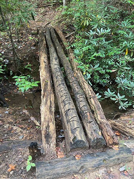
Sketchy footlogs over Stairstep Creek. (002F-crossing)
| Accessibility: | Forest road and hiking trail |
| County: | Polk |
| River Basin: | Broad |
| Watercourse: | Stairstep Creek |
| Watershed: | Very small |
| Type and Height: | Small, multilevel falls, 26 feet high Height measured with rangefinder. |
| Landowner: | Green River Game Land |
| Beauty Rating: | 4 |
| Elevation: | 1860 feet |
| USGS Map: | Cliffield Mountain |
| Hike Difficulty: | Moderate, with steep climb from trail to base |
| Hike Distance: | 0.7 miles |
| Waterfall GPS: | 35.277574, -82.3175 |
| Trailhead GPS: | 35.284852, -82.316806 |
Photo Gallery
Click a photo to enlarge.