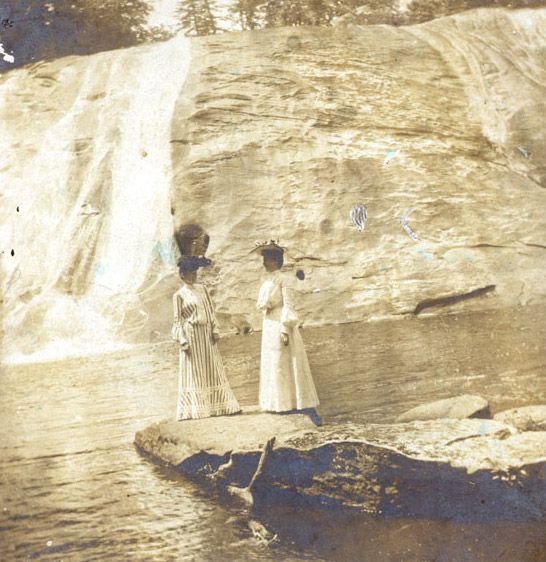
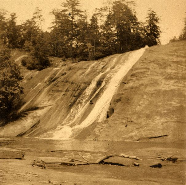
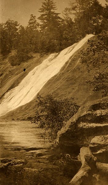
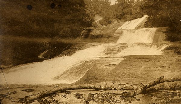
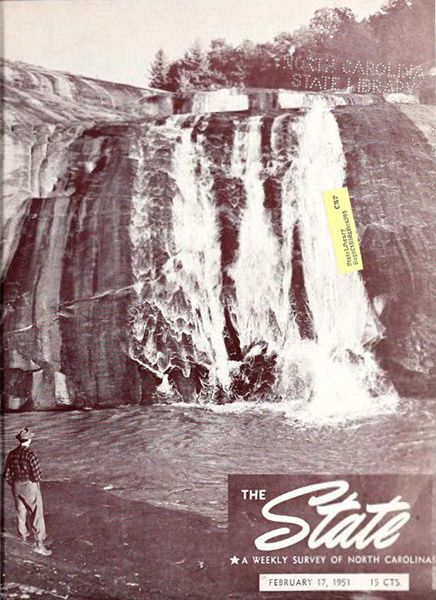
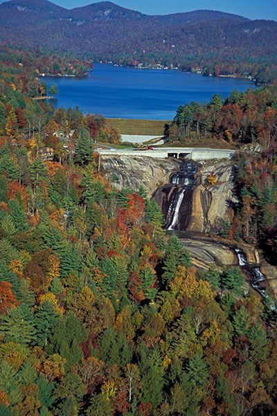
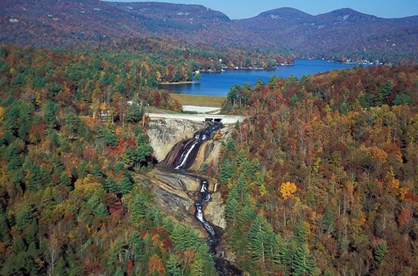
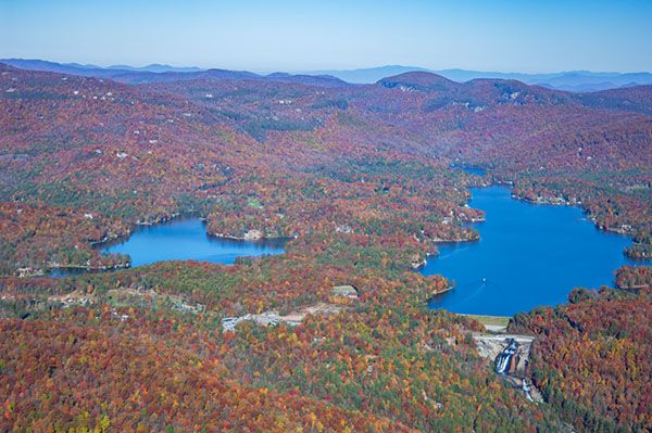
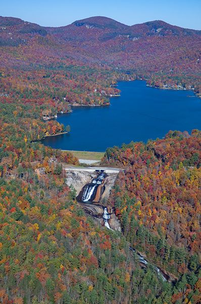
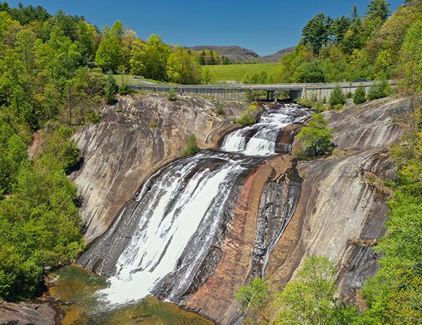
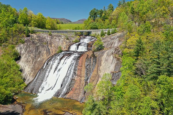
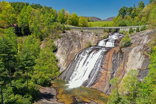
Toxaway Falls
!
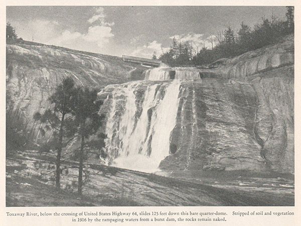
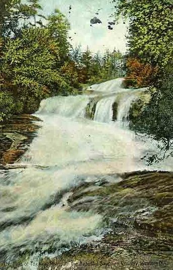
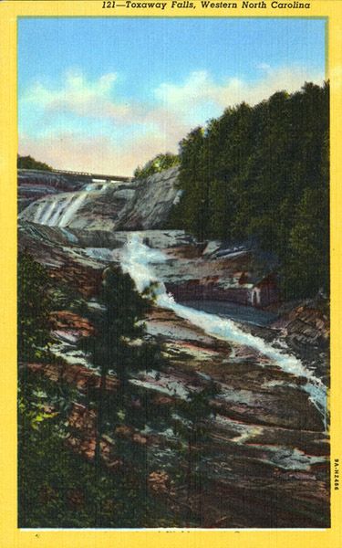
Toxaway Falls is probably the only waterfall that can give Linville Falls a run for its money as the most storied falls in the state. And it’s the only significant waterfall that can boast having an entire lake flow over it within a few hours, if that were a thing to boast about. US 64, a major artery in southwestern North Carolina, crosses the river directly at the top of the falls.
I could go on and on. In fact, I did. Click Show More for the full scoop.
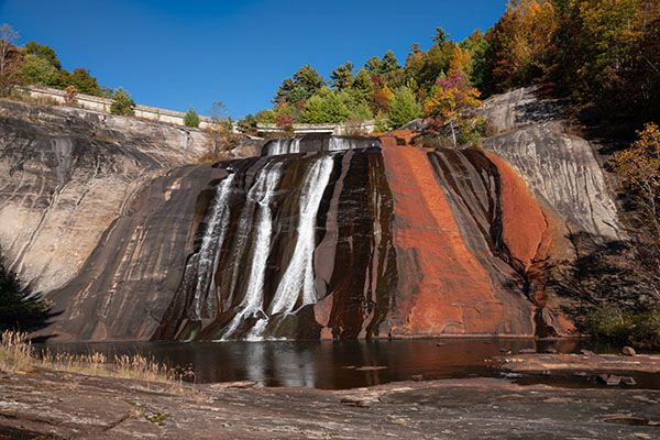
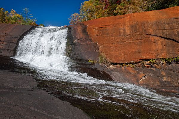
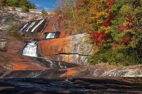
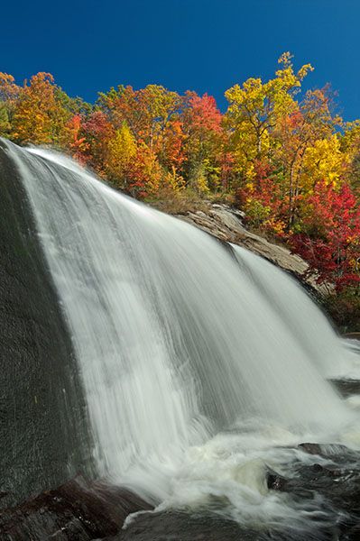
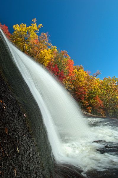
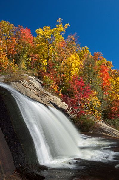
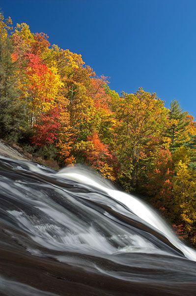
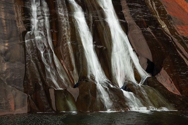
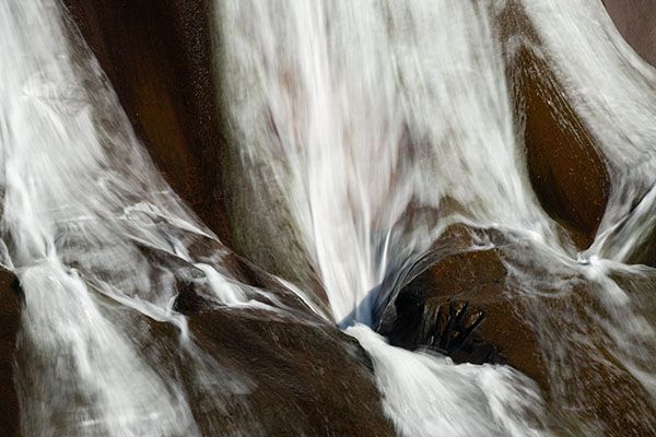
The main upper drop of Toxaway Falls. (038P-268528)
Driving Directions
Open driving directions in map appToxaway Falls lies immediately below the US 64/NC 281 bridge over the river. The bridge is 0.4 miles west of where NC 281 turns off north and 2.2 miles east of where it turns off south. A pullout is on the east side of the bridge.
Hiking Directions
Quick Glance
For a quick look at the falls, cross the road and walk along the catwalks on both sides of the bridge.
Detailed Look
Everything I’m describing here s intended only for waterfallers who have experience getting off trail, crossing streams, and scrambling around on slippery rocks. Everyone else should view the waterfall only from the catwalk.
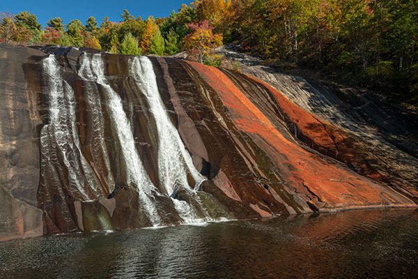
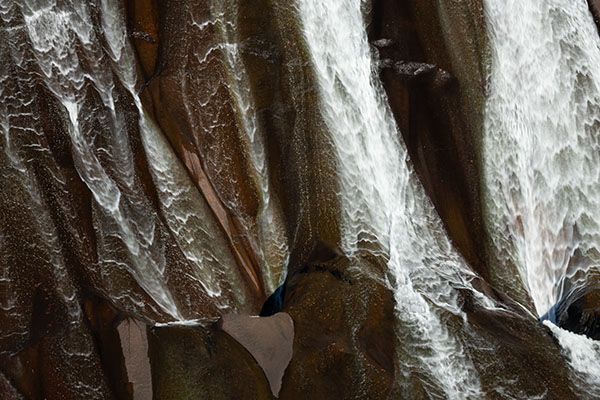
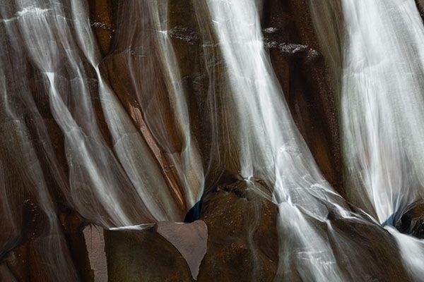
To experience Toxaway Falls fully, you must climb down and view each section from its base. You can reach the base of the small initial drop fairly easily by taking the short scramble path that descends on the river-left side of the falls.
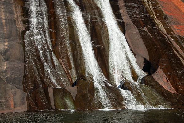
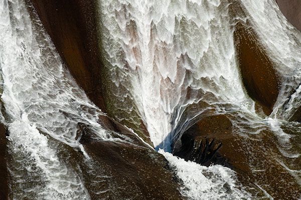
Reaching the base of the main section and the levels downstream requires a more difficult bushwhack and scramble. For the lower sections, it will be easier to walk down the exposed rock on the river-right side, but this will require crossing the river. At average or low water levels, you can safely cross the river but if the flow is high, forget it.
Any rock surface that is perpetually wet from seepage or river flow could be extremely slippery, so stay on the dry rocks as much as possible. If the rocks are wet only from rain, they might not be very slick, but you won’t be able to differentiate between what’s wet from rain and what’s from seepage, so I recommend not going when it’s rainy.
| Accessibility: | Roadside view and steep scramble |
| County: | Transylvania |
| River Basin: | Savannah |
| Watercourse: | Toxaway River |
| Watershed: | Small/medium |
| Type and Height: | Long, multilevel falls, 301 feet high |
| Landowner: | Gorges State Park, Private The property line is the center of the river. |
| Beauty Rating: | 8 |
| Elevation: | 2960 feet |
| USGS Map: | Reid NC/SC |
| Hike Difficulty: | View roadside and difficult scramble |
| Hike Distance: | A few yards to roadside viewpoint |
| Waterfall GPS: | 35.122239, -82.92756 Reading made at the base of the lowest section. |
| Trailhead GPS: | 35.124316, -82.931081 |
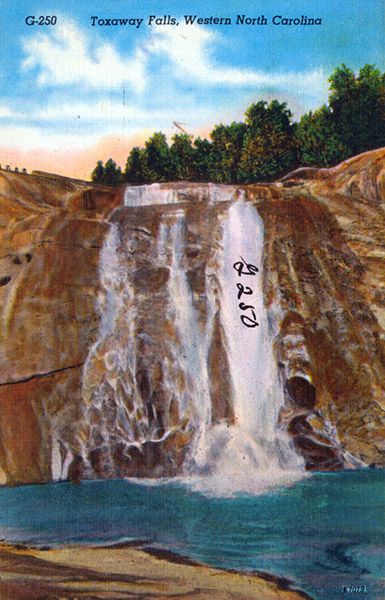
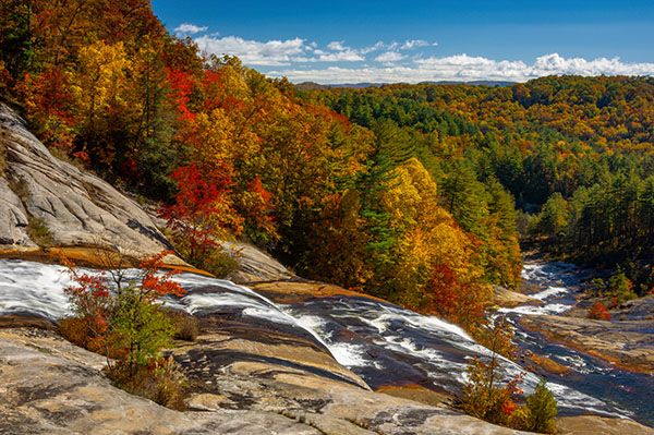
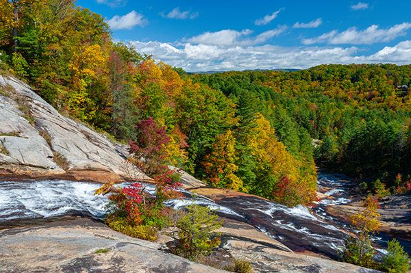
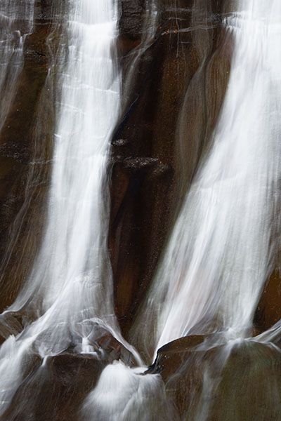
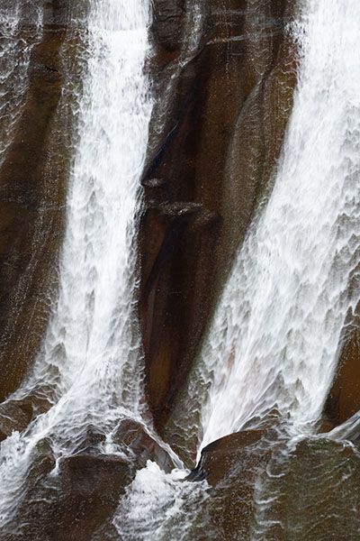
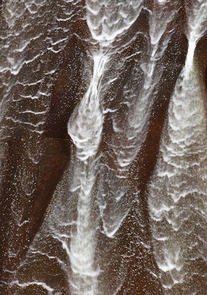
Photo Gallery
Click a photo to enlarge.
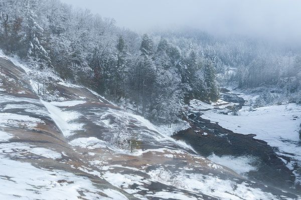
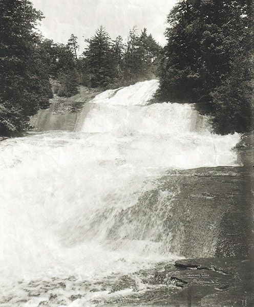
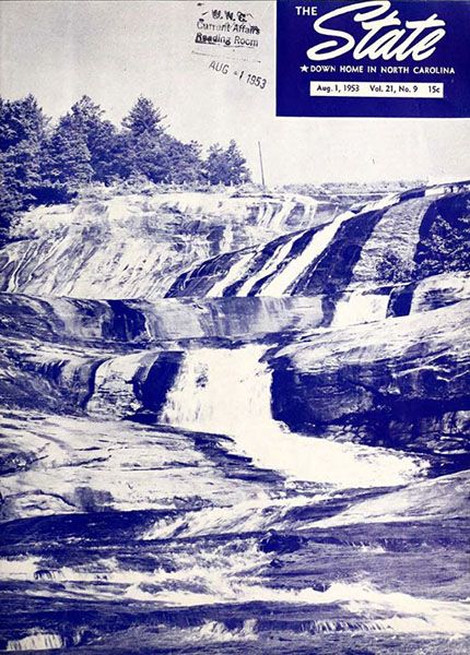
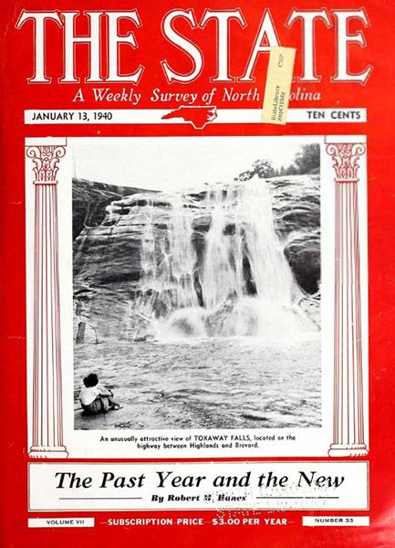
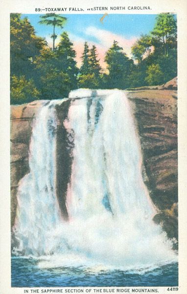
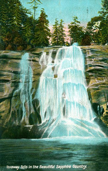
Historical Gallery
Click a photo to enlarge.