
Upper Little Creek Falls
!
Upper Little Creek Falls doesn’t impress me very much, but I’ve heard others say otherwise. I’ve been twice, but with so many other worthy candidates out there, I doubt I’ll ever learn if the third time is the charm.
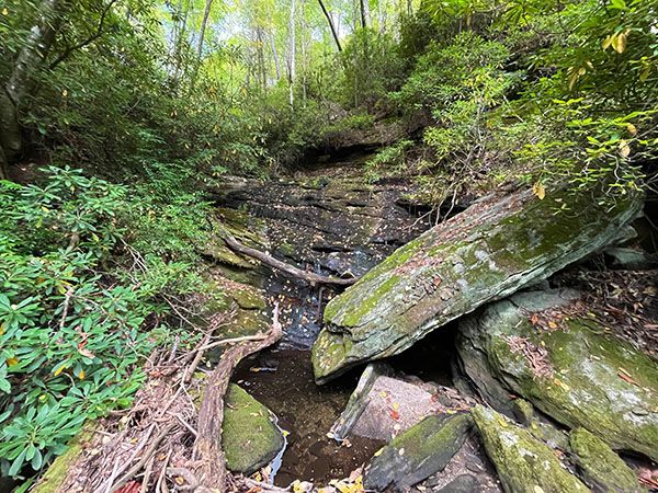
Upper Little Creek Falls with very low water level. (003D-252445)
Driving Directions
Open driving directions in map appFrom Horse Cove, drive 1.7 miles on the unpaved FS 401 (Rich Gap Road) to FS 4622, which veers off on the right. From NC 28, drive 2.3 miles on Rich Gap Road to FS 4622. Coming from this direction, the road becomes unpaved at 1.4 miles.
Hiking Directions
Quick Glance
Ascend 0.9 miles to the end, continue on faint path to top of ridge, then descend other side to falls.
Detailed Look
Ascend moderately on the grassy FS 4622. In 0.3 miles, the road makes a sharp right-hand switchback. This is the spot where you leave the road if you hike to Little Creek Falls.
For Upper Little Creek Falls, continue on the road another 0.6 miles to the road’s end. A faint path continues from the end of the road for about 100 feet to a point where the path appears to turn left. Go to the right here and climb the steep slope. It might be hard to distinguish a path, but that’s okay. The idea is simply to gain the ridge and climb down the other side to the creek.
When you reach the ridge, you should follow it to the right or left a short distance before descending to the creek. This avoids cliffs straight down the other side. I’ve done both and find the left route much easier. It’s very steep, but the woods are more open than the gnarly descent you’d encounter if you go to the right on the ridge before heading down.
| Accessibility: | Forest road and bushwhack |
| County: | Macon |
| River Basin: | Savannah |
| Watercourse: | Little Creek |
| Watershed: | Small |
| Type and Height: | Main drop about 30 feet high, with slides above Height measured with rangefinder. |
| Landowner: | Nantahala NF, Nantahala RD |
| Beauty Rating: | 3 |
| Elevation: | 3280 feet |
| USGS Map: | Highlands NC/GA |
| Hike Difficulty: | Moderate road walk and Class II-III bushwhack |
| Hike Distance: | Appox 1.1 miles |
| Waterfall GPS: | 35.027938, -83.18143 |
| Trailhead GPS: | 35.02546, -83.173761 |