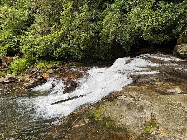
Waterfall 2 on Looking Glass Creek
!
This is one of three falls within a three-mile section of US 276 that many people drive by without having a clue that they just passed a scenic waterfall right beside the road. None of the three can be viewed well from the road, though. You’ll need to scramble a little on makeshift paths to reach them.
The other two falls are Waterfall 1 on Looking Glass Creek and Waterfall 3 on Looking Glass Creek.
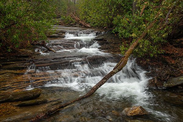
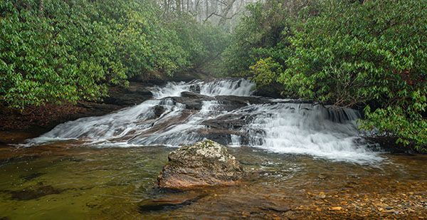
The three separate drops here are so close together that it seemed logical to treat them collectively as a single waterfall. But this is a subjective choice, and everyone can make their own conclusion.
This is the middle section. (065W2-212222)
Driving Directions
Open driving directions in map appA large pullout on the creek side of US 276 is 6.7 miles south of Blue Ridge Parkway and 8.5 miles north of the junction with NC 280/US 64. A picnic table is at the pullout.
Hiking Directions
Quick Glance
Scramble paths lead from the pullout to the upper and middle sections. To view the lower section, follow creek downstream from the middle section.
Detailed Look
There is no official trail here; it’s just makeshift paths. As you face the creek from the pullout, there is a path on the right side that descends steeply to a large flat rock and view of the upper level. That’s not the best route, though. Instead, take the path that is on the left. It starts to the left of the farthest south of six boulders lined up by the pullout.
Descend the path a short distant to a split. To the right is the upper-level view. To the left is a very steep climb down to the creek between the middle and lower sections. To view the middle level, you need to cross the creek. It’s easy, but it’s a wade unless the water is very low.
To view the lower section, follow the creek downstream a short distance. You can get a good view from the top, but to see it from the base requires a tough bushwhack on the river-left bank.
| Accessibility: | Bank scramble |
| County: | Transylvania |
| River Basin: | French Broad |
| Watercourse: | Looking Glass Creek |
| Watershed: | Small/medium |
| Type and Height: | Three sections totaling 26 feet high Height measured with rangefinder. |
| Landowner: | Pisgah NF, Pisgah RD |
| Beauty Rating: | 5 |
| Elevation: | 2820 feet |
| USGS Map: | Shining Rock |
| Hike Difficulty: | Difficult |
| Hike Distance: | A few hundred feet |
| Waterfall GPS: | 35.316668, -82.790438 |
| Trailhead GPS: | 35.316849, -82.790146 |
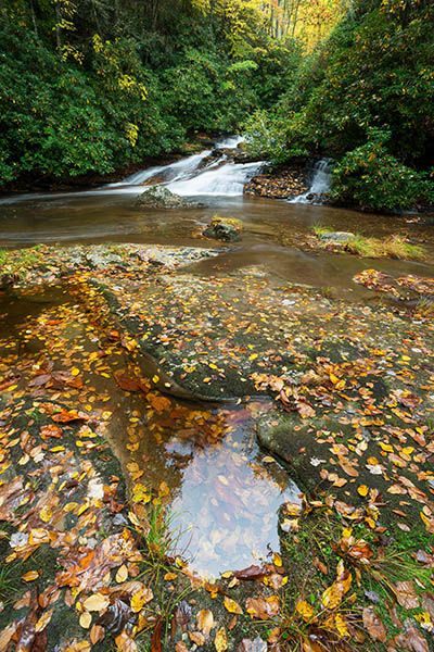
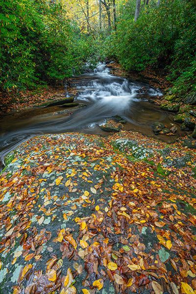
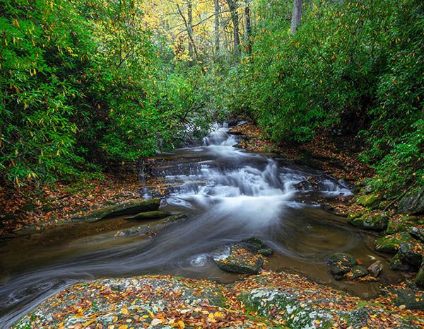
Photo Gallery
Click a photo to enlarge.