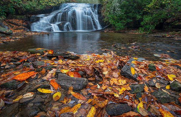
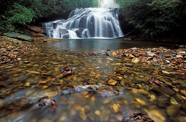
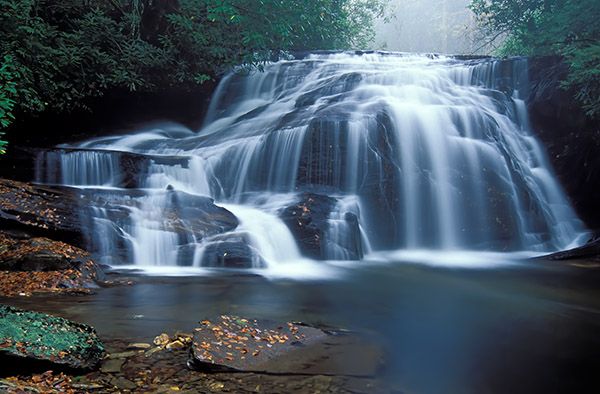
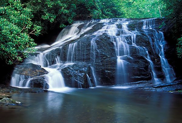
White Owl Falls
!
Countless tourists whiz over the Thompson River bridge on NC 281 without a clue that a scenic waterfall lies a short distance downstream. White Owl Falls exemplifies the fact that waterfalls don’t have to be high or powerful to be beautiful.

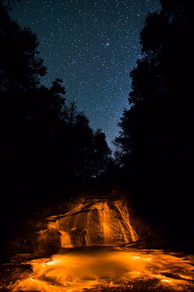
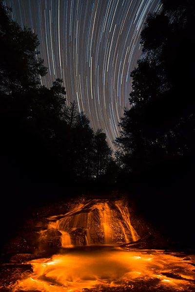
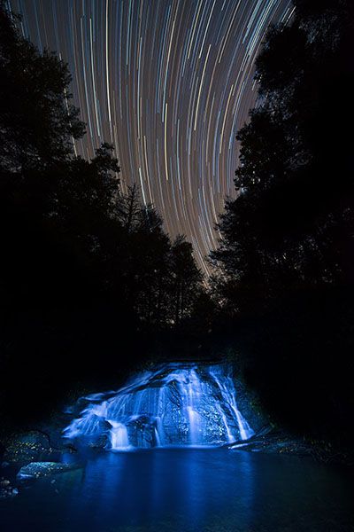
I light painted White Owl Falls with a flashlight and blue gel filter and illuminated the pool with a waterproof flashlight and blue filter. (097D-007)
Driving Directions
Open driving directions in map appFrom the junction of NC 281 and US 64, west of Lake Toxaway, drive 3.7 miles south on NC 281 and park in the pullout on the right. The pullout is less than 0.1 mile south of Brewer Road (SR 1189), which is on the left.
Hiking Directions
Quick Glance
Walk down the road and cross at the start of the guardrail Hop over the guardrail and look for the narrow path that descends to the falls.
Detailed Look
Walk a little over 100 yards down the road and cross at the start of the guardrail. Step over the guardrail and pick up the faint path. It descends a concrete water chute, which you might want to bypass as it can be slippery. From the bottom of the chute, the path runs along the base of the riprap piled on the road bank. You’ll have to scramble through some rocks. This is a narrow, winding, scrambling path, but it should be obvious. It goes to the top of the falls and then down to the base.
For the best view, you’ll need to cross the river. It’s rarely low enough to rockhop, but it’s an easy wade. Wearing high-top hiking boots, you might be able to keep your feet dry.
The hike to White Owl Falls causes confusion for some. I’m not sure why. If you follow the directions precisely, you should have no trouble. You might have a little trouble at the start if the edge of the woods is overgrown, but if you poke around a little, you’re bound to find the concrete water chute. The path should be obvious from the base of the chute. Perhaps some people are looking for a wide, graded trail. That doesn’t exist.
| Accessibility: | Hiking trail |
| County: | Transylvania |
| River Basin: | Savannah |
| Watercourse: | Thompson River |
| Watershed: | Small |
| Type and Height: | Cascading 20-foot-high falls Height measured with rangefinder. |
| Landowner: | Nantahala NF, Nantahala RD |
| Beauty Rating: | 6 |
| Elevation: | 2840 feet |
| USGS Map: | Reid NC/SC |
| Hike Difficulty: | Moderate+ |
| Hike Distance: | Less than 0.2 miles |
| Waterfall GPS: | 35.07652, -82.99696 |
| Trailhead GPS: | 35.07753, -82.99696 |
Photo Gallery
Click a photo to enlarge.