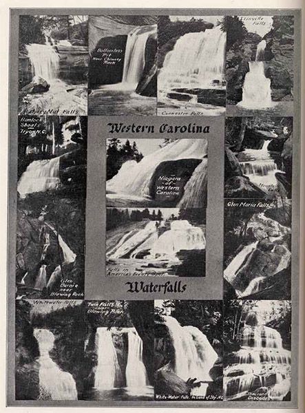
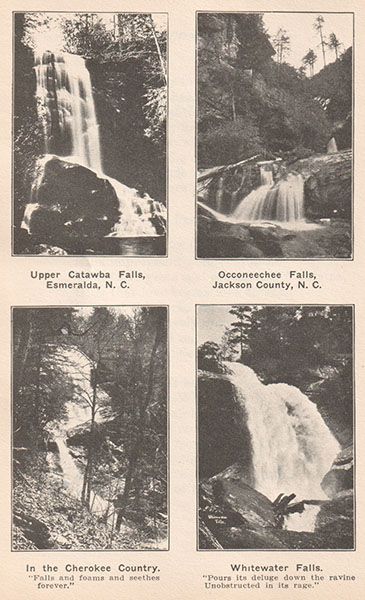
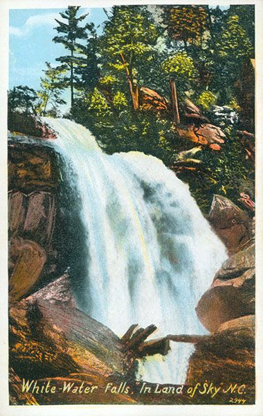
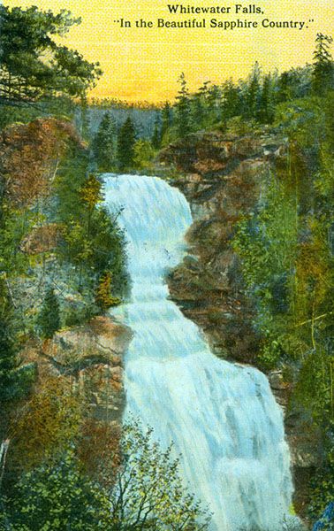
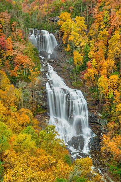
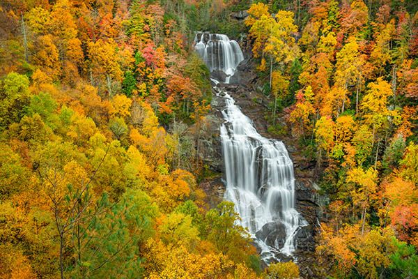
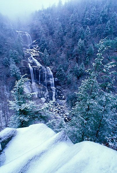
Whitewater Falls
!
In The Land of Waterfalls, Jim Bob Tinsley calls Whitewater Falls “The Patriarch of all Transylvania County Waterfalls.”214 He’ll get no argument from me other than the title doesn’t cover enough territory. In my opinion, only Burke County has a legitimate contender for the crown with its Linville Falls.
Whitewater Falls gets taken for granted. Easy access and high publicity cause us not to appreciate its true grandeur. I’ve heard hard-core waterfallers dismiss it as a “tourist” waterfall, but I’ve no doubt that if seeing it required a long, arduous hike, it would be at the top of their list.
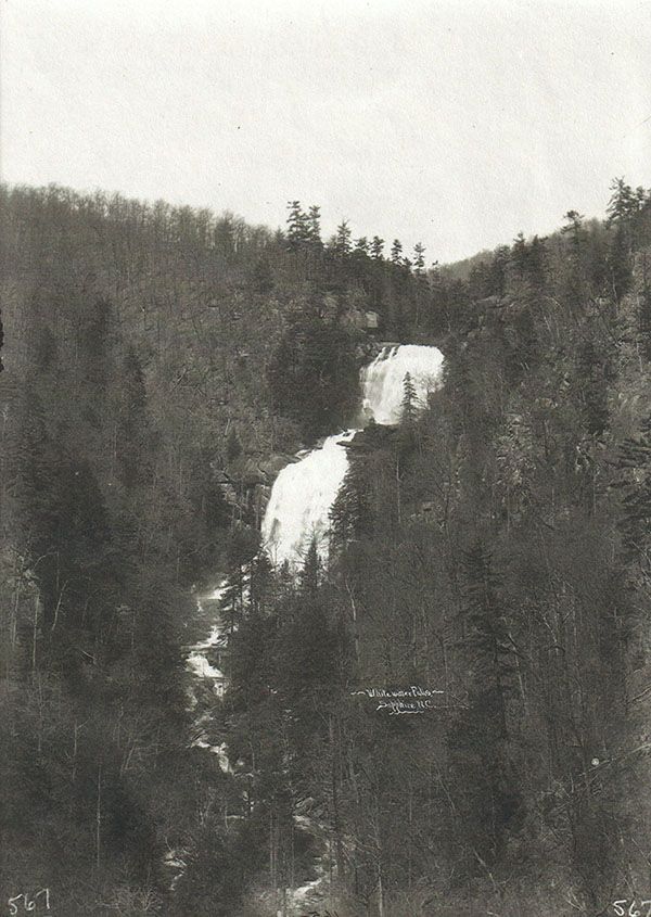
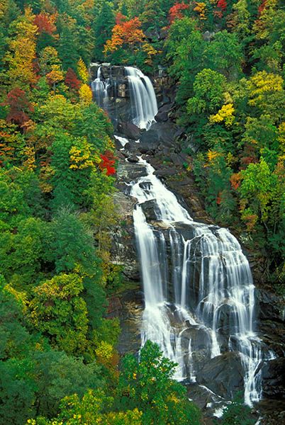
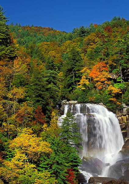
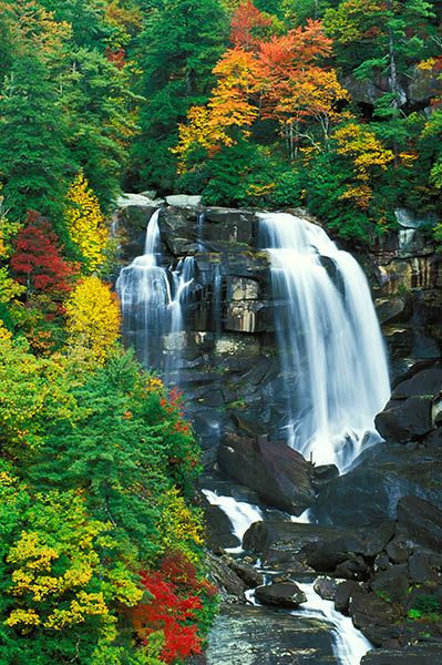
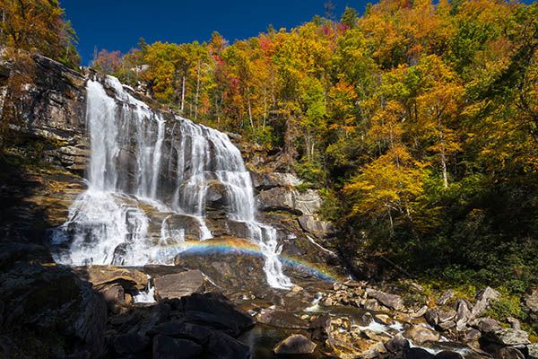
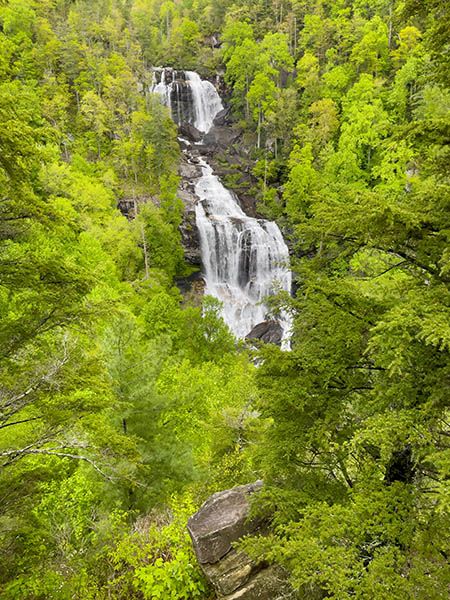
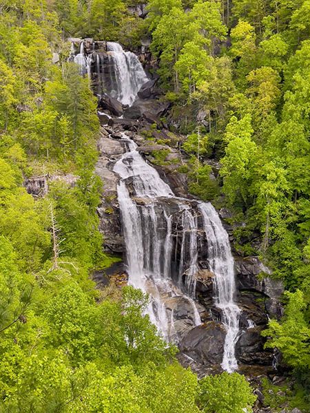
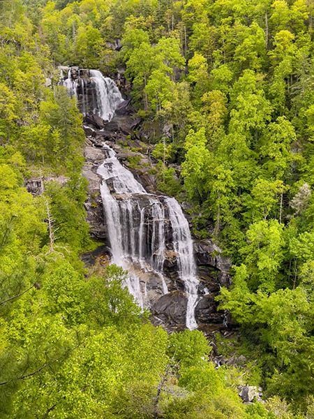
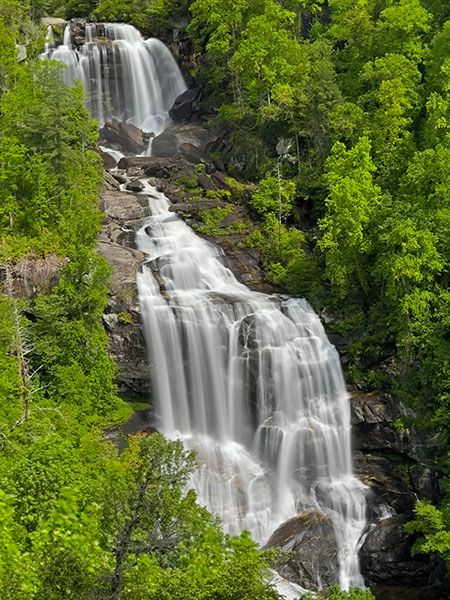
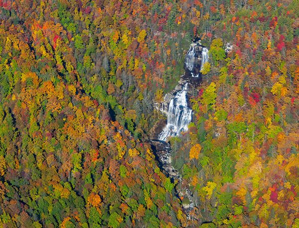
Linville Falls is the most storied waterfall in North Carolina and is unparalleled in its combination of beauty, striking geology, deep history, and outstanding recreational opportunities. But it can’t top Whitewater’s height and sheer awesomeness. Whitewater Falls is huge!
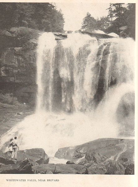
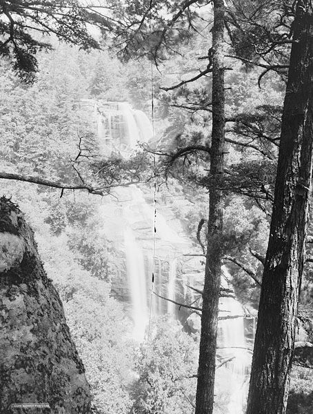
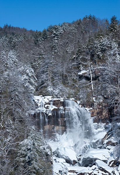
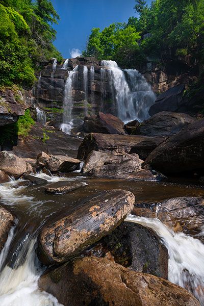
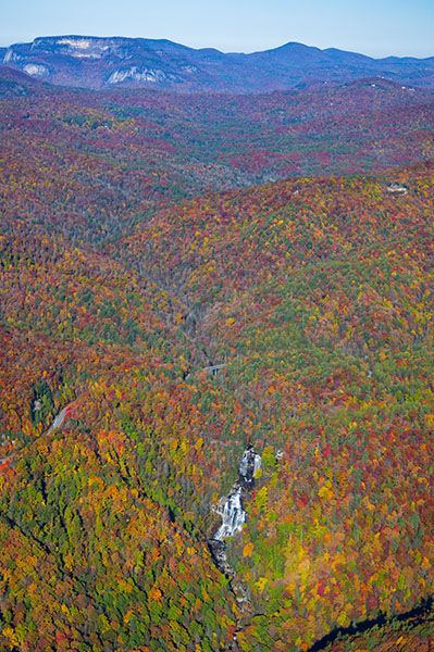
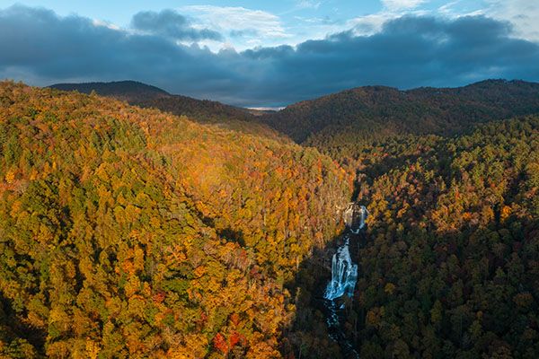
Part of Whitewater’s grandeur is that we can see it at once in its entirety. No pesky rhododendrons steal the show here. The viewing platform is on the opposite slope, enabling us to see the waterfall in context with the surrounding mountainsides. I often snicker at the way early authors use the word sublime to describe seemingly everything in their path, but here the word seems inadequate.
Can you tell that I like this waterfall?
In the “worthless trivia” category, Whitewater’s entry is that—as far as I know—it’s the only waterfall in North Carolina to have a theme-park ride named for it. Well, it had one. WhiteWater Falls opened in 1988 at Carrowinds. The ride closed in 2016.
(103A-126645)
Driving Directions
Open driving directions in map appFrom the junction of NC 281 and US 64 west of Lake Toxaway, drive 8.5 miles south on NC 281 and turn left at the sign for Whitewater Falls. The road leads a short distance to the large parking area
Hiking Directions
A paved path ascends gently to the upper viewpoint at a split-rail fence. From here, a long series of steps (154, to be exact) leads down to an observation deck.
A trail continues from the observation deck, but it doesn’t lead to views of Whitewater Falls. It soon connects with Foothills Trail, where a left turn takes you down to the river far below the falls, crosses the river, and then goes on to Laurel Falls. A right turn swings you back around and up to a connector path coming down from the restroom building at the parking area.
The trail to the upper viewing point is suitable for people with limited mobility who take it slow. If you can handle the stairs, I highly recommend you go down to the lower observation deck, as the view is really special.
| Accessibility: | Hiking trail and steps (lots of steps!) |
| County: | Transylvania, Jackson |
| River Basin: | Savannah |
| Watercourse: | Whitewater River |
| Watershed: | Medium |
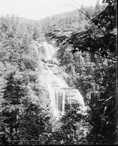
| Type and Height: | Two-tiered, monster waterfall measuring approximately 335 feet high |
| Landowner: | Nantahala NF, Nantahala RD |
| Beauty Rating: | 10+ |
| Elevation: | 2580 feet |
| USGS Map: | Cashiers NC/SC/GA |
| Hike Difficulty: | Easy/difficult Easy to the upper viewpoint; 154 steps to the lower observation deck. |
| Hike Distance: | About 0.2 miles to upper overlook |
| Waterfall GPS: | 35.03485, -83.0164 |
| Trailhead GPS: | 35.03029, -83.0162 |
Photo Gallery
Click a photo to enlarge.
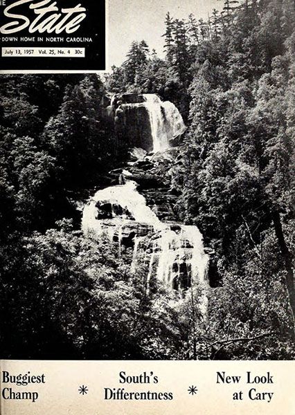
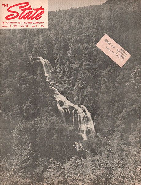
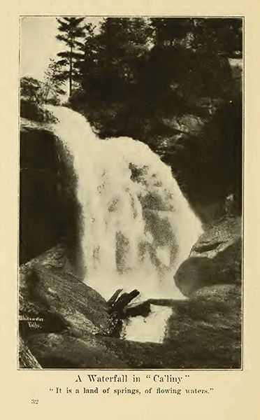
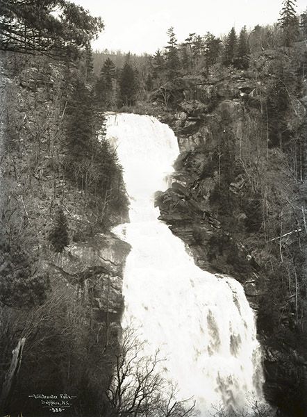
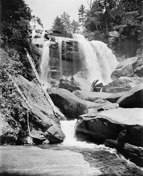
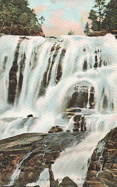
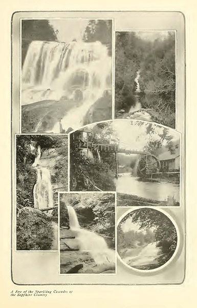
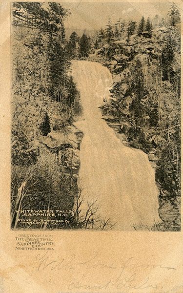
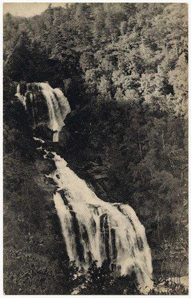
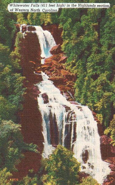
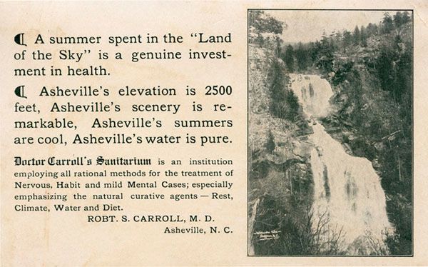
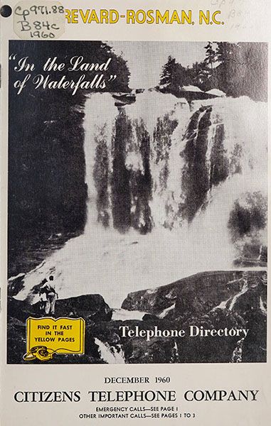
Historical Gallery
Click a photo to enlarge.