Wolf Creek Dam F1

!
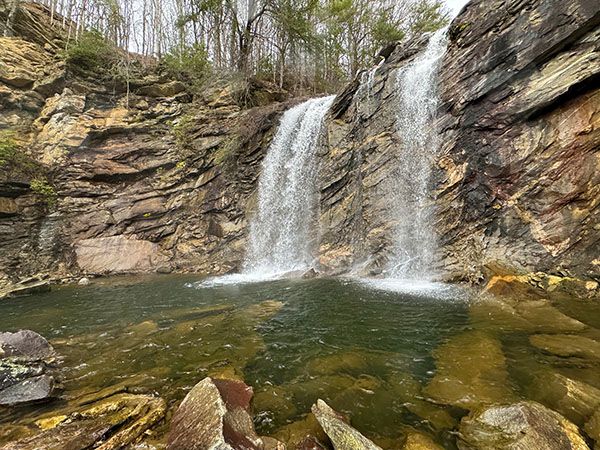
Two impressive waterfalls, only a few yards apart, sit directly below the spillway of Wolf Creek Dam. Unfortunately, they aren’t open to the public.
Completed in 1955, Wolf Creek Dam follows a design common among western North Carolina dams: the dam covers the original river channel, while the spillway runs through a new channel blasted from rock. Driving across the dam takes you over the stream’s original course.
Stone blasted from the spillway channel was used to build the dam, and the excavation created the two waterfalls: a 42-foot lower fall and a 50-foot upper fall. At many similarly designed dams, spillway falls look clearly artificial. Here, without the dam for context, they could easily pass for natural waterfalls.
As with all Duke Energy dams, the property immediately surrounding Wolf Creek Dam is closed to the public. Without permission, the closest view is from the road, where you can look down the spillway and see the brink of the upper fall.
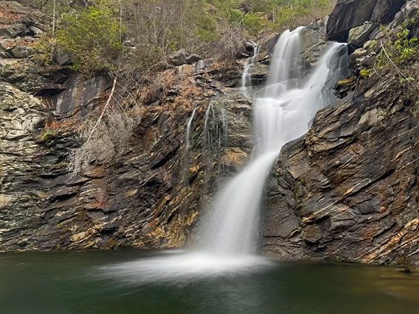
The lower tier of Wolf Creek Dam F1. (105Y-254724)
Driving Directions
Open driving directions in map appWolf Creek Dam is on NC 281, about 12.3 miles north of US 64 and 12.8 miles south if NC 107.
| Accessibility: | — |
| County: | Jackson |
| River Basin: | Little Tennessee |
| Watercourse: | Wolf Creek |
| Watershed: | Medium Flow is dam controlled. |
| Type and Height: | — |
| Landowner: | Duke Energy |
| Experience Rating: | Meh |
| Elevation: | — |
| USGS Map: | Big Ridge |
| Hike Difficulty: | — |
| Hike Distance: | — |
| Waterfall GPS: | — |
| Parking GPS: | 35.222808, -82.999257 This is for the parking area at the spillway. |
Photo Gallery
Click a photo to enlarge.