Worthville Dam
!
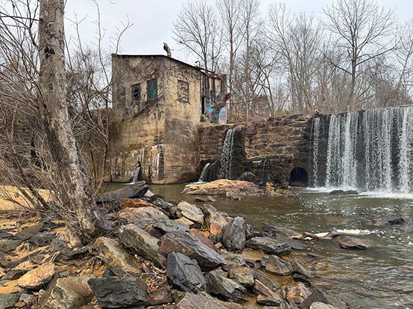
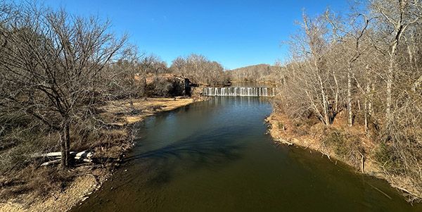
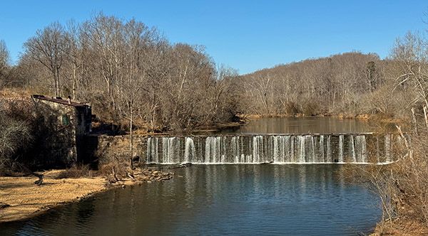
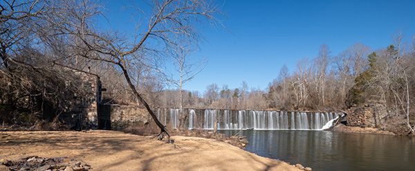
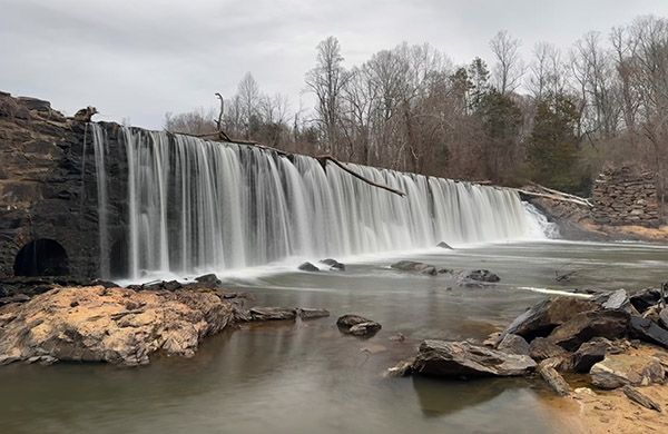
Worthville Dam makes a good destination for textile history buffs, as well as local folks looking for a place to relax on the weekend. The dam, built around 1920, replaced the original dam built in the early 1880s.126
The road once crossed Deep River immediately below the dam. The old bridge abutments are clearly visible on both sides of the river.
For information about Deep River in general, including a table listing all the waterfalls on the river, visit the River Basins & Rivers page and click on the Cape Fear River Basin tab.
(027P-261588)
Driving Directions
Open driving directions in map appThe parking area is located at Worthville Road Boating Access Area, 1427 Worthvile Road, Randleman. It’s 1.75 miles from US 220 Business.
Hiking Directions
Quick Glance
Follow the river upstream.
Detailed Look
Walk under the bridge and follow the river upstream.
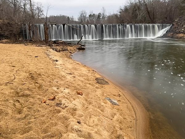
| Accessibility: | Sandy walk |
| County: | Randolph |
| River Basin: | Cape Fear |
| Watercourse: | Deep River |
| Watershed: | Medium/large |
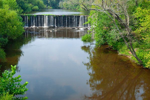
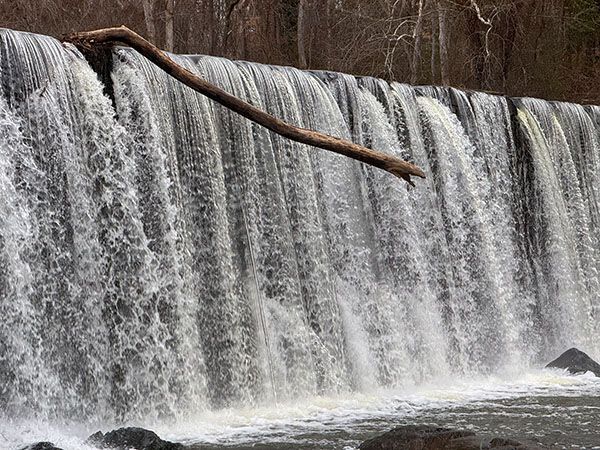
| Type and Height: | 17-foot dam Height measured with rangefinder. |
| Landowner: | City of Randleman Randleman owns the access and beach area. Not sure who owns the dam. |
| Experience Rating: | Good |
| Elevation: | — |
| USGS Map: | Randleman |
| Hike Difficulty: | Easy |
| Hike Distance: | 0.2 miles |
| Waterfall GPS: | 35.80153, -79.77679 |
| Trailhead GPS: | 35.799868, -79.776507 |
Photo Gallery
Click a photo to enlarge.