Shunkawauken Falls


!
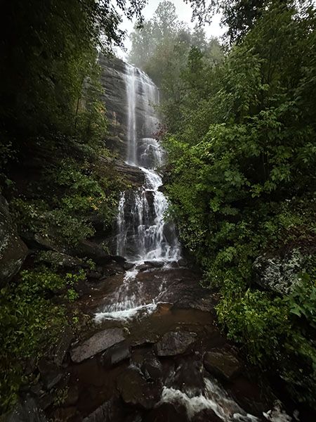
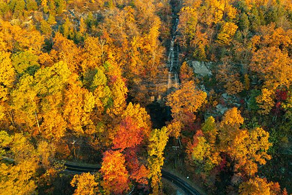
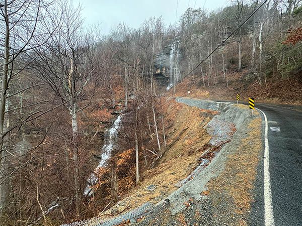
Shunkawauken Falls is as roadside as a waterfall gets—the road literally crosses it. Though only about three miles from Columbus, it remains surprisingly little-known and lightly visited. That’s probably for the best given the driving and viewing conditions, which are covered in “Special Considerations.”
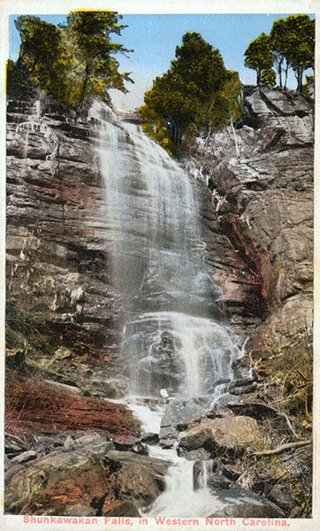
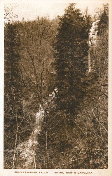
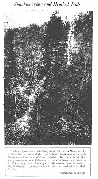
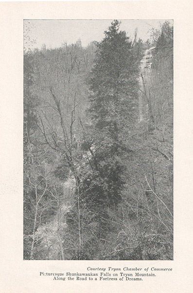
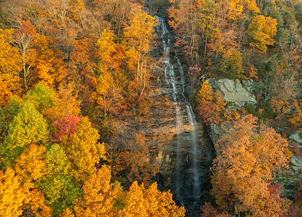
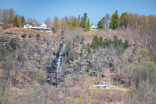
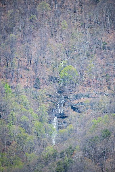
The roadside view is impressive, with nearly 200 feet of waterfall rising almost directly from the road. But it’s what you can’t see that makes this waterfall truly remarkable: the other three-fourths of the falls. Some 700 feet of falling water lies hidden above and below, putting Shunkawauken squarely in any discussion of North Carolina’s highest waterfall. I explore that claim in “Measuring.”
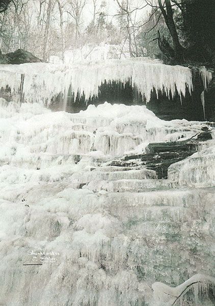
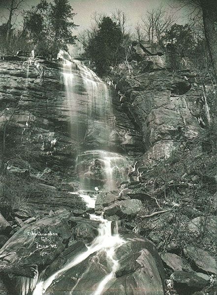
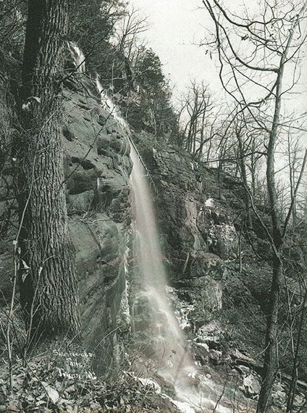
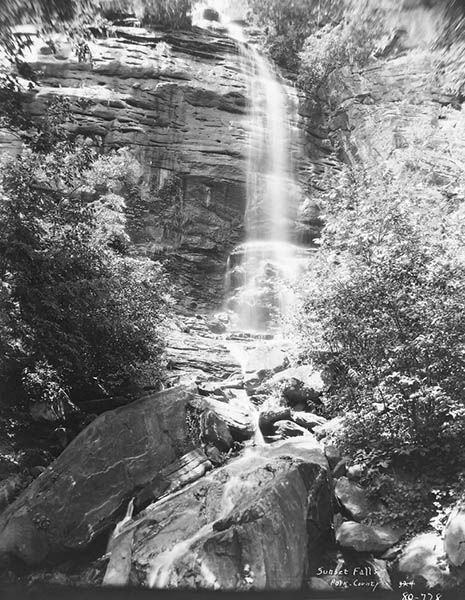
Beyond the difficult viewing conditions and its possible height of more than 900 feet, Shunkawauken Falls has an intriguing history, also covered below.
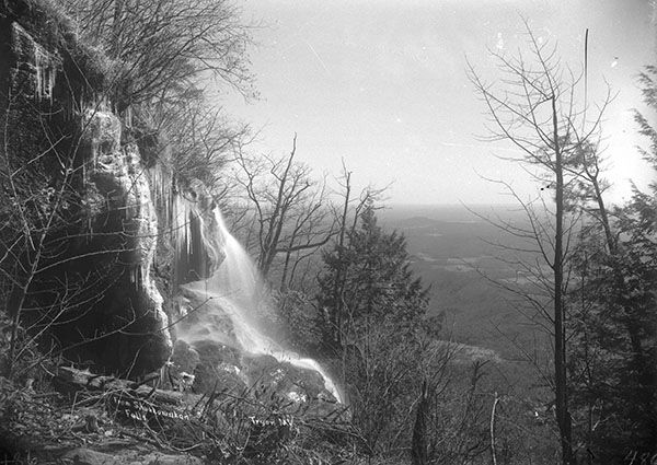
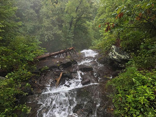
A waterfall this large is unusual so near a mountain summit, where most streams are mere trickles. Here, Horse Creek gets a head start on the small plateau atop White Oak Mountain, even filling a few small ponds before spilling over the edge.
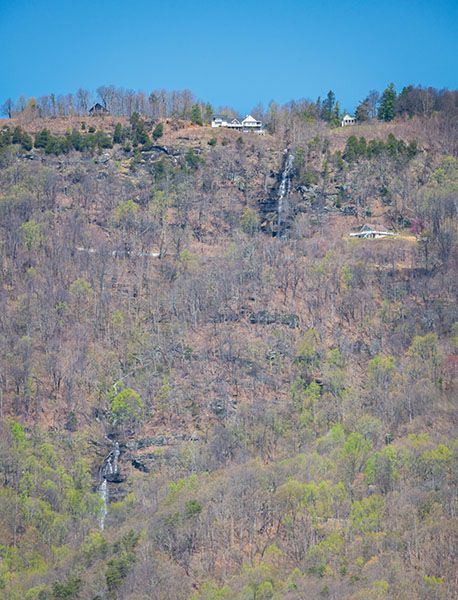
Shunkawauken is the only North Carolina waterfall you can safely view from an interstate—I-26 in this case. In winter, northbound travelers get an impressive look at White Oak Mountain and the waterfalls’ two main drops. During periods of wet weather, you can see a few small falls on the north side of I-40 through Pigeon River Gorge, but it isn’t safe for the driver to look, and the passenger view isn’t great at 55 MPH. So I think Shunkawauken earns the distinction.
In winter, the waterfall is clearly visible from several spots in Columbus. The best view is from the open field beside the State Employees’ Credit Union building.
The road to Shunkawauken Falls also passes Skyuka Creek U1-F1 and Skyuka Creek U2-F1, two roadside waterfalls on tiny streams.
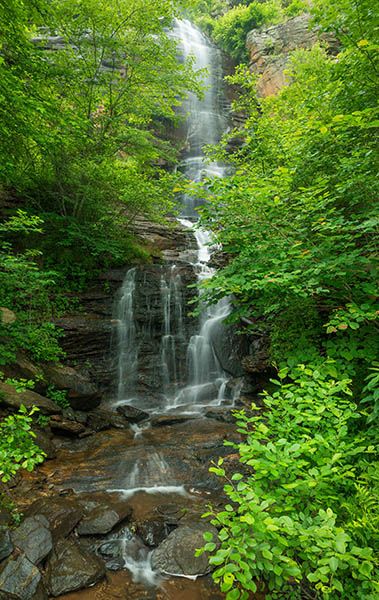
The upper main section of Shunkawauken Falls, viewed from the road. (084A-120140)
Driving Directions
These directions cover Shunkawauken Falls, Skyuka Creek U1-F1, and Skyuka Creek U2-F1, since most visitors will likely see all three on the same trip.
From Exit 67 on I-26, drive into Columbus on NC 108. After about 0.5 miles, turn left onto Houston Road (SR 1137) at Columbus Baptist Church. Drive 0.5 miles, turn right to stay on Houston Road, and continue another 0.5 miles. Then turn left onto White Oak Mountain Road (SR 1136).
At mile 2.1 on White Oak Mountain Road, you’ll cross Horse Creek below the main upper section of Shunkawauken Falls. There’s nowhere to park at the waterfall, but short, narrow pullouts are located on the left side of the road about 0.1 miles before and after the falls.
From Shunkawauken Falls, continue to Skyuka Creek U1-F1 at mile 5.9 from Houston Road. Along the way, you’ll navigate some sketchy stretches, catch sweeping views east and west from the mountaintop, and see the road become Skyuka Mountain Road. There’s no parking at U1-F1, but a little farther down on the right is a spot where you can get off the road.
Continue to Skyuka Creek U2-F1 at mile 6.8 from Houston Road. Finally, there’s a good place to park right at the waterfall.
Skyuka Mountain Road keeps descending to Skyuka Road, 8.2 miles from Houston Road. This may feel like the longest 8.2 miles you’ve ever driven! A left turn here returns you to Houston Road in 1.7 miles to complete the loop. A right turn takes you to Tryon.
Hiking Directions
Quick Glance
Carefully walk along the road to view the falls.
Detailed Look
See “Special Considerations” before walking to the falls.
| Accessibility: | Roadside view |
| County: | Polk |
| River Basin: | Broad |
| Watercourse: | Horse Creek |
| Watershed: | Small |
| Type and Height: | Freefalling, sliding, cascading waterfall over 900 feet high Height estimated from LiDAR data. |
| Landowner: | Private |
| Beauty Rating: | 7 |
| Elevation: | 2520 feet |
| USGS Map: | Mill Spring |
| Hike Difficulty: | View roadside |
| Hike Distance: | — |
| Waterfall GPS: | 35.272006, -82.214763 |
| Parking GPS: | — |
Photo Gallery
Click a photo to enlarge.
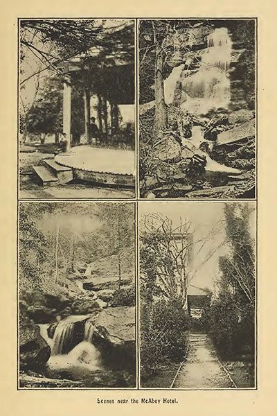
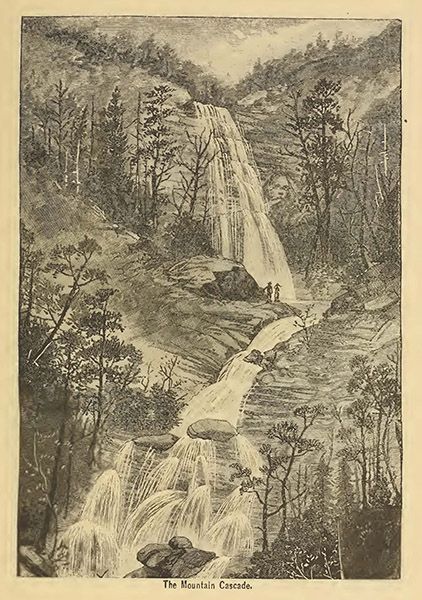
Historical Gallery
Click a photo to enlarge.