Skyuka Creek U2-F1
!
Like its neighbor up the road, Skyuka Creek U1-F1, this waterfall isn’t worth a special trip—or even slowing down for—unless there’s a humongous downpour. And if that’s the case, you probably shouldn’t be driving this road anyway.
Still, it’s a legit falls, and its roadside location makes it an easy addition to your life list. If you’re heading up White Oak Mountain to see Shunkawauken Falls and taking the full loop instead of backtracking (highly recommended), you’ll pass right by it.
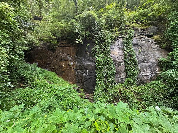
Three tiny streams flow over a massive rock wall here. From the roadside pullout, you can clearly see two of them, but you might not recognize what you’re seeing. Expect nothing but a big damp rock. The more interesting section is hidden to the left. Everything here is on private property.
Oh, if you visit in summer and you like kudzu, you’re gonna love it!
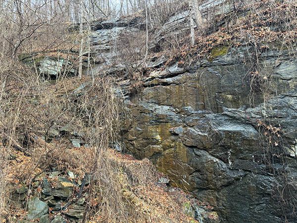
Winter view of the waterfall. (084C-253871)
Driving Directions
These directions cover Shunkawauken Falls, Skyuka Creek U1-F1, and Skyuka Creek U2-F1, since most visitors will likely see all three on the same trip.
From Exit 67 on I-26, drive into Columbus on NC 108. After about 0.5 miles, turn left onto Houston Road (SR 1137) at Columbus Baptist Church. Drive 0.5 miles, turn right to stay on Houston Road, and continue another 0.5 miles. Then turn left onto White Oak Mountain Road (SR 1136).
At mile 2.1 on White Oak Mountain Road, you’ll cross Horse Creek below the main upper section of Shunkawauken Falls. There’s nowhere to park at the waterfall, but short, narrow pullouts are located on the left side of the road about 0.1 miles before and after the falls.
From Shunkawauken Falls, continue to Skyuka Creek U1-F1 at mile 5.9 from Houston Road. Along the way, you’ll navigate some sketchy stretches, catch sweeping views east and west from the mountaintop, and see the road become Skyuka Mountain Road. There’s no parking at U1-F1, but a little farther down on the right is a spot where you can get off the road.
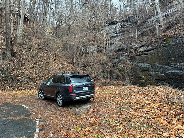
Continue to Skyuka Creek U2-F1 at mile 6.8 from Houston Road. Finally, there’s a good place to park right at the waterfall.
Skyuka Mountain Road keeps descending to Skyuka Road, 8.2 miles from Houston Road. This may feel like the longest 8.2 miles you’ve ever driven! A left turn here returns you to Houston Road in 1.7 miles to complete the loop. A right turn takes you to Tryon.
| Accessibility: | Roadside view |
| County: | Polk |
| River Basin: | Broad |
| Watercourse: | Tributary of Skyuka Creek |
| Watershed: | Itsy-bitsy |
| Type and Height: | Height estimated from LiDAR data. The concealed portion appears segmented. |
| Landowner: | Private |
| Beauty Rating: | 1 |
| Elevation: | 1600 feet |
| USGS Map: | Mill Spring |
| Hike Difficulty: | View roadside |
| Hike Distance: | — |
| Waterfall GPS: | 35.264209, -82.232488 |
| Parking GPS: | — |
Photo Gallery
Click a photo to enlarge.