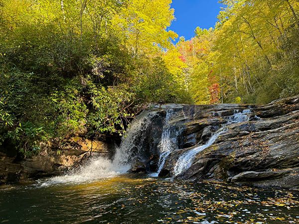
Wolf Creek F1

!
You can easily see the brink of this scenic little waterfall from the pool at Wolf Creek Falls. The base is harder to reach, though perhaps not much harder than the base of Wolf Creek Falls.
Most people visiting Wolf Creek F1 will be adding it as a side trip to Wolf Creek Falls. Rather than repeat the details here, I’ll point you to that page for hiking info and special considerations.
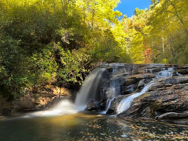
Wolf Creek F1. (105E-257262)
Driving Directions
Open driving directions in map appFrom the US 64/NC 281 junction east of Lake Toxaway, drive north on NC 281 for 12.7 miles to a large pullout on the left. You’ll pass Tanasee Creek Lake and cross Wolf Creek Dam. The pullout is 0.4 mile beyond the dam. Coming from the other direction, it is 12.4 miles from NC 107.
The trailhead is the same for Wolf Creek Falls.
Hiking Directions
Quick Glance
From the base of Wolf Creek Falls, follow the creek downstream.
Detailed Look
For directions to Wolf Creek Falls, see the Wolf Creek Falls page. From its base, continue downstream on a short but tricky Class III creekwalk to reach Wolf Creek F1.
| Accessibility: | Hiking trail, slope scramble, and Class III creekwalk |
| County: | Jackson |
| River Basin: | Little Tennessee |
| Watercourse: | Wolf Creek |
| Watershed: | Medium Flow is dam controlled. |
| Type and Height: | Cascading falls 16 feet high Height measured with rangefinder. |
| Landowner: | Nantahala NF, Nantahala RD |
| Beauty Rating: | 5 |
| Elevation: | 2720 feet |
| USGS Map: | Big Ridge |
| Hike Difficulty: | Difficult |
| Hike Distance: | About a half mile |
| Waterfall GPS: | 35.223258, -83.005873 |
| Trailhead GPS: | 35.225495, -83.003492 |
Photo Gallery
Click a photo to enlarge.