Mill Shoals
French Broad Falls
!
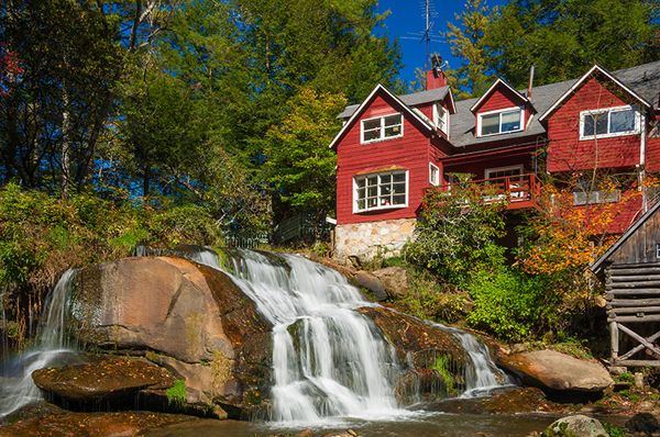
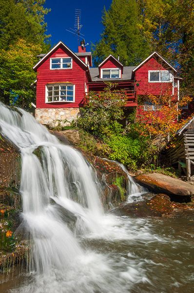
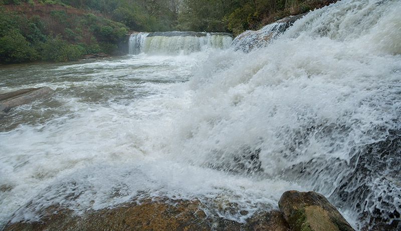
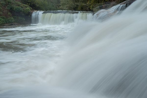
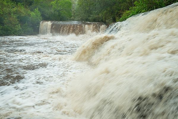
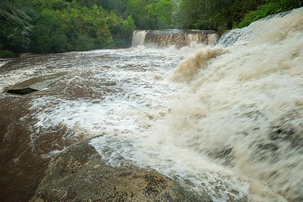
Shoal Creek enters North Fork French Broad River directly behind the ministry complex. Right before they join, both streams fall over the 15-foot ledge known as Mill Shoals. An old mill still stands below the falls on Shoal Creek. An interesting aspect of the larger of the two falls—the one on North Fork—is that it is a river-wide drop much wider than it is high. That is uncommon for waterfalls in North Carolina, especially in the mountain region.
A house lies on the river-right bank, spoiling the view in my mind. The red house that sits above the mill on river left has never been a big distraction to me, as it’s old and fits with the overall historical aspect of the waterfall and mill. In fact, it makes an interesting enhancement to photo compositions, especially after it has received a new coat of paint. Fortunately for photographers, it’s easy to compose shots that exclude both houses, although you may still wish to shoot some compositions that include the red house.
A path follows the river downstream from Mill Shoals to Bird Rock Falls, passing Pulpit Falls on the way.
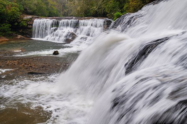
Shoal Creek in the foreground, North Fork French Broad River in the distance. (006A-176078)
Driving Directions
Open driving directions in map appThe directions are the same as Pulpit Falls and Bird Rock Falls.
From Beech Gap on Blue Ridge Parkway, drive 9.25 miles south on NC 215. Park in the gravel area on the right (west) side of the road, just south of There is More Ministries at Living Waters. This is 7.8 miles north of US 64.
Hiking Directions
Quick Glance
Walk the short, obvious path down to the falls.
Detailed Look
Walk toward the small red house on the south side of the ministry complex. Enter the woods to the left of the house. A short path leads down to the river at the falls.
| Accessibility: | Short path |
| County: | Transylvania |
| River Basin: | French Broad |
| Watercourse: | North Fork French Broad River |
| Watershed: | Medium/large for North Fork French Broad, Small for Shoal Creek |
| Type and Height: | Double 15’ falls, side-by-side Measured with rangefinder. |
| Landowner: | Private |
| Beauty Rating: | 5 |
| Elevation: | 2760 feet |
| USGS Map: | Rosman |
| Hike Difficulty: | Easy/moderate |
| Hike Distance: | A few hundred feet |
| Waterfall GPS: | 35.22372, -82.86143 |
| Trailhead GPS: | 35.2235, -82.86069 |
Photo Gallery
Click a photo to enlarge.