Pulpit Falls
!
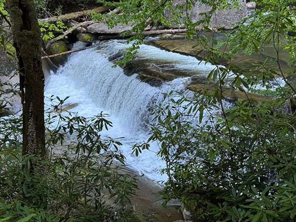
Pulpit Falls is located right beside the trail between Mill Shoals and Bird Rock Falls. It consists of two separate, river-wide drops, very close together. It doesn’t create quite the show of its upstream and downstream friends, but it adds a nice bonus on a hike to them.
Upper section Pulpit Falls. 006A1-256869)
Driving Directions
Open driving directions in map appThe directions are the same as Mill Shoals and Bird Rock Falls.
From Beech Gap on Blue Ridge Parkway, drive 9.25 miles south on NC 215. Park in the gravel area on the right (west) side of the road, just south of There is More Ministries at Living Waters. This is 7.8 miles north of US 64.
Hiking Directions
Quick Glance
Walk the short, obvious path down toward Mill Shoals, then take the obvious path that goes downstream.
Detailed Look
Walk toward the small red house on the south side of the ministry complex toward Mill Shoals. Before reaching the falls, you’ll come to an obvious path on the left that leads downstream. Take this path for about 0.1 miles to a rock wall above the river.
Directly below the rock wall is the upper drop of Pulpit Falls. Continue on the trail for about 40 yards to a side path leading down the the base. Continue another 50 yards to the side path for the second drop.
It is not safe to go down to the base of the lower drop and caution is advised at the upper drop.
| Accessibility: | Hiking trail |
| County: | Transylvania |
| River Basin: | French Broad |
| Watercourse: | North Fork French Broad River |
| Watershed: | Medium/large |
| Type and Height: | Two short, river-wide drops totaling about 20 feet Height measured with rangefinder. |
| Landowner: | Private |
| Beauty Rating: | 3 |
| Elevation: | 2740 feet |
| USGS Map: | Rosman |
| Hike Difficulty: | Easy/moderate |
| Hike Distance: | A little over 0.1 miles |
| Waterfall GPS: | 35.222338, -82.860758 Reading taken the base of the upper drop |
| Trailhead GPS: | 35.2235, -82.86069 |
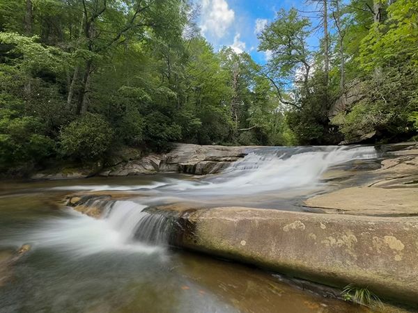
Photo Gallery
Click a photo to enlarge.