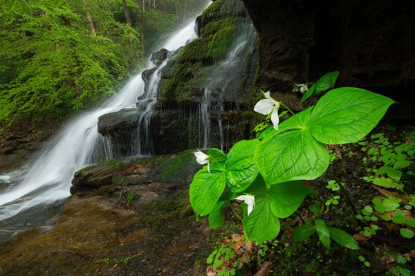
Milton Bradley Falls
!
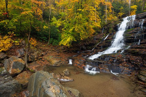
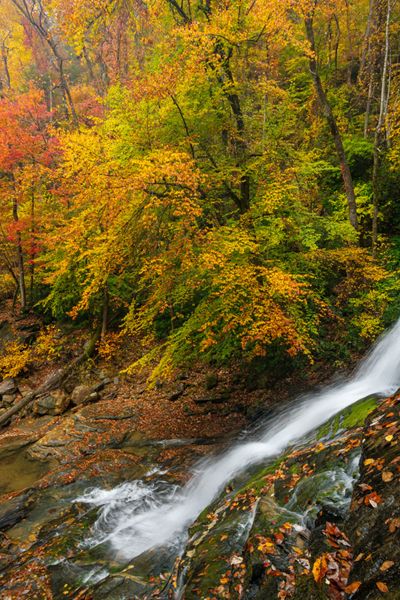
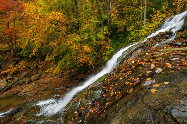
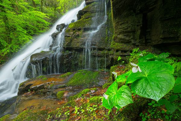
Well worth the longish hike and creek wade, Milton Bradley Falls is a delightful sight and a terrific photo subject. It’s the first waterfall you come to on a hike to see Bradley Cooper Falls, Marilou Bradley Falls, and Cavern Falls, and it's arguably the most scenic. It’s also by far the easiest of the bunch to reach. If you like waterfalls that tumble over countless mini-ledges, you’ll love this one.
Milton Bradley Falls. (002K1-126506)
Driving Directions
Open driving directions in map appThe trailhead is the same for Milton Bradley, Bradley Cooper, Marilou Bradley, and Cavern waterfalls. It is also the lower trailhead for Bradley Falls.
Take the Saluda exit (Exit 59) off I-26 and head east on Holbert Cove Road (SR 1142). After less than 0.1 mile, turn left on the curviest paved road in North Carolina, Green River Cove Road (SR 1151). Drive 3.75 miles and turn right on the dirt road just before the bridge over the Green River. A small sign is here for NCWRC Game Land Access Road. Drive past some buildings to reach a gate at 0.1 mile. Park here.
Hiking Directions
Quick Glance
Follow dirt road 1 mile to fork and turn left. Ford creek at 0.3 mile and enter fields. Walk to far right end of fields (0.4 from creek crossing) and enter woods on path. Walk 200 yards to point near creek, then follow winding, makeshift path upstream 0.45 mile to falls.
Detailed Look
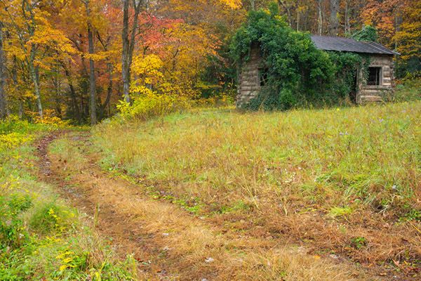
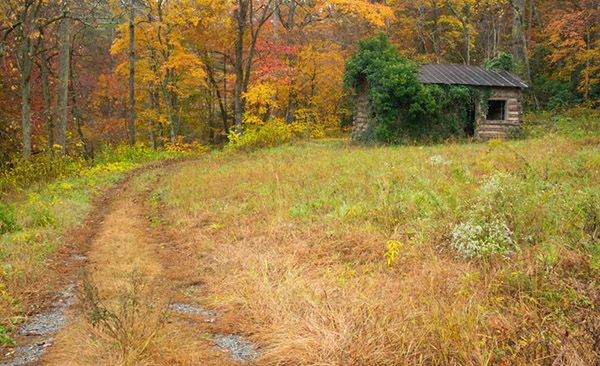
Follow the dirt road 1 mile to a fork. An old barn once stood in the corner, but it is now gone. Off the road to the right is an old cabin. Turn left at the fork and hike the sandy road 0.3 mile to the Cove Creek crossing. Expect to wade. After crossing, the old road follows the creek upstream a short distance before turning sharply left and ascending to fields.
In summer, the route through the fields can be hard to follow. Basically, you want to work your way through to the far right corner, which is 0.4 mile from the creek crossing. A path enters woods here and leads 200 yards to a point close to Little Cove Creek. GPS for this point is 35.285661, -82.284931.
From this point, a winding makeshift path leads 0.45 mile upstream to the falls. The idea is just to follow the route of least resistance. At one point, you’ll likely need to walk in the creekbed for a short distance.
| Accessibility: | Hiking trail |
| County: | Polk |
| River Basin: | Broad |
| Watercourse: | Little Cove Creek |
| Watershed: | Small |
| Type and Height: | Steep, cascading falls over mini-ledges, about 45’ high Height measured with rangefinder. |
| Landowner: | Green River Game Land |
| Beauty Rating: | 7 |
| Elevation: | 1140 feet |
| USGS Map: | Cliffield Mountain |
| Hike Difficulty: | Moderate Class I bushwhack |
| Hike Distance: | 2.25 miles |
| Waterfall GPS: | 35.284538, -82.27749 |
| Trailhead GPS: | 35.27433, -82.30398 |
Photo Gallery
Click a photo to enlarge.