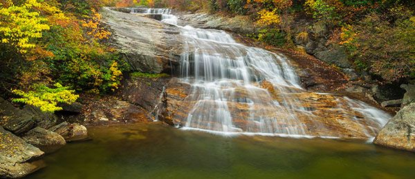
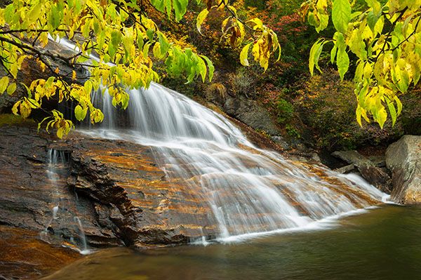
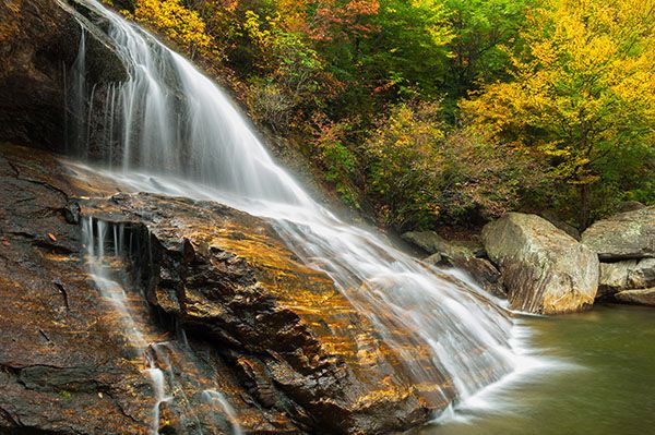
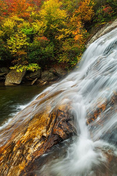
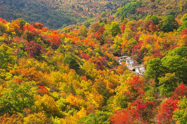
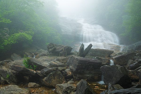
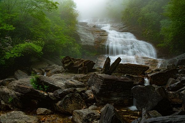
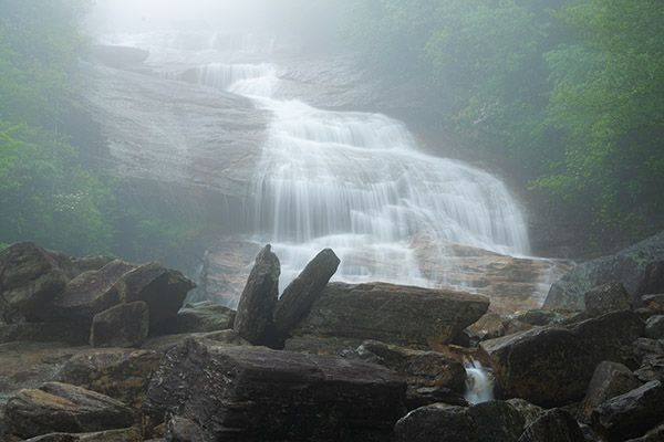
Second Falls
!
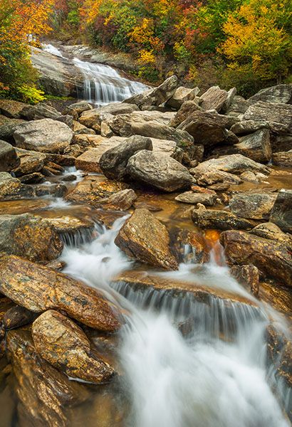
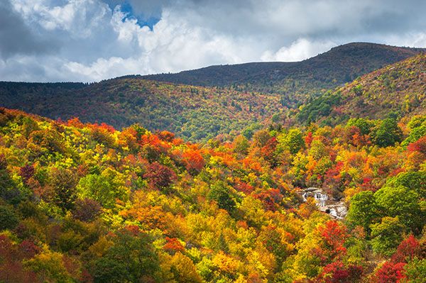
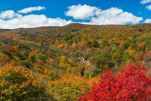
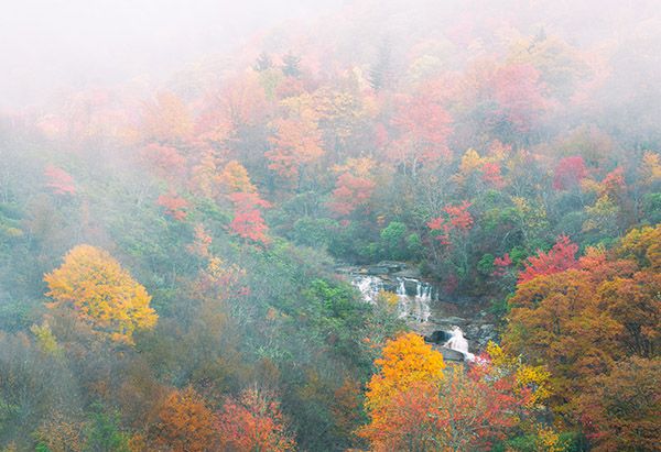
Three waterfalls—Upper Falls, Second Falls, Yellowstone Falls—are on Yellowstone Prong in the extremely popular Graveyard Fields area. Unsurprisingly, Second Falls is the middle one. It’s also the easiest to reach and the most popular.
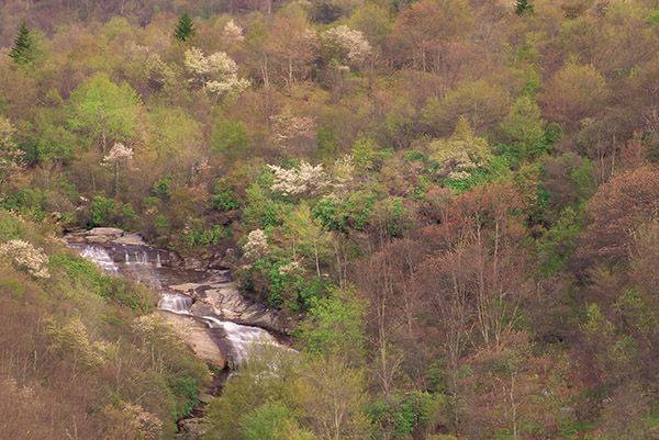
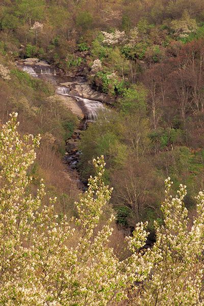
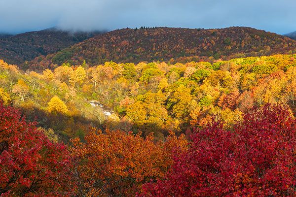
You can view the falls from the Blue Ridge Parkway, hence the wheelchair icon in the banner, and this adds a nice element to the visit. Several years ago, it was a wide-open scene, but trees have grown up and block part of the view. You can walk along the road and still find a couple of spots where you can see the falls well. In times of low flow, the waterfall doesn’t show up well at this distance, but it’s a nice landscape scene even without the waterfall.
The deep pool and large boulders below Second Falls are popular spots for swimming and sunbathing, but it’s not a good spot for young children. You must scramble over boulders to reach the pool and there isn’t any kind of beach.
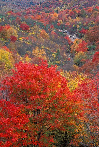
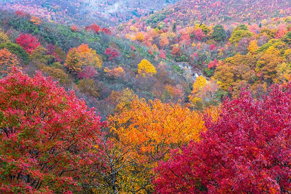
Catawba rhododendron grows on the banks of the falls, putting on a beautiful magenta show in June. In May, painted trillium blooms along the trail between the parking area and the creek.
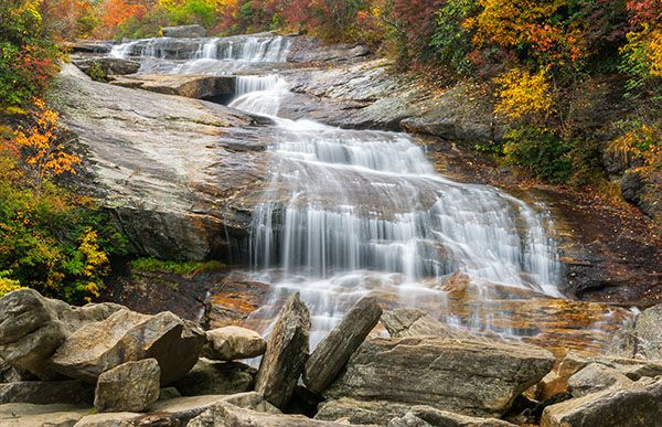
Second Falls. (052A-24907)
Driving Directions
Open driving directions in map appThe three waterfalls in Graveyard Fields—Yellowstone Falls, Second Falls, Upper Falls— are accessed from Graveyard Fields Overlook on Blue Ridge Parkway, Milepost 418.9. The overlook is roughly halfway between US 276 and NC 215.
This is an extremely popular area. Get here early on any weekend and any weekday during summer and fall.
Hiking Directions
Quick Glance
Start at the steps beside the restroom building. After crossing the creek, take everything to the right and you’ll come to the steps descending to the base of the falls.
Detailed Look
The hike begins beside the restroom building. Take the steps down to the paved path. The path leads through a tunnel of Catawba rhododendron and mountain laurel before reaching the steps that descend to Yellowstone Prong at 0.16 mile. As you cross the creek on the footbridge, look downstream to see the brink of Second Falls.
Just beyond the creek, the trail to Upper Falls goes to the left. Continue straight on the boardwalk. From the end of the boardwalk, continue the trail for 30 yards to a fork. The left fork leads to Yellowstone Falls. Take the right fork, which takes you to a long series of steps that descend to the base of the falls.
Note that the trail signs call the waterfall “Lower Falls.”
| Accessibility: | Hiking trail and roadside distant view |
| County: | Haywood |
| River Basin: | French Broad |
| Watercourse: | Yellowstone Prong of East Fork Pigeon River |
| Watershed: | Small |
| Type and Height: | Sliding, cascading falls about 55 feet high Height estimated in field and from LiDAR map. |
| Landowner: | Pisgah NF, Pisgah RD |
| Beauty Rating: | 7 |
| Elevation: | 5000 feet |
| USGS Map: | Shining Rock |
| Hike Difficulty: | Moderate, with a lot of steps |
| Hike Distance: | 0.35 miles |
| Waterfall GPS: | 35.3223, -82.84646 |
| Parking GPS: | 35.320426, -83.846946 |
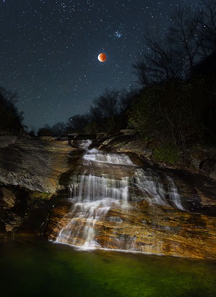
Photo Gallery
Click a photo to enlarge.